|
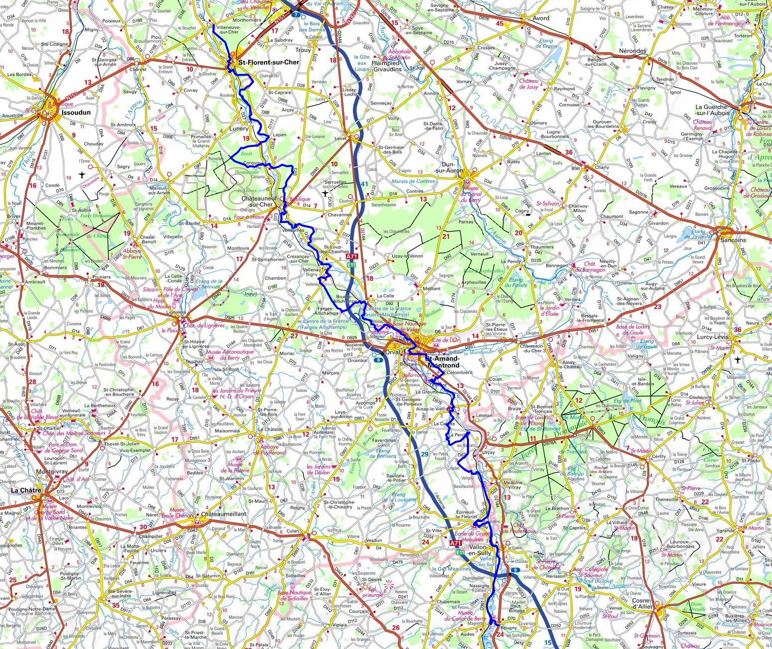
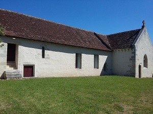
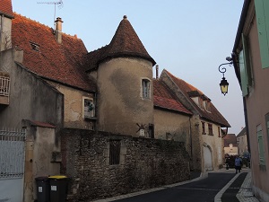
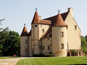
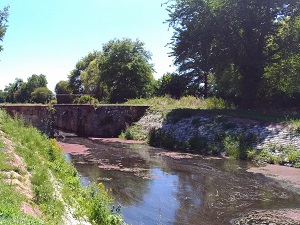
Hike on the GR 41 along Cher Valley through Cher and Allier department from Villeneuve-sur-Cher to Reugny via Saint-Florent-sur-Cher, Châteauneuf-sur-Cher, Vallenay, Bruere-Allichamps, Saint-Amand-Montrond, Ainay-le-Vieil, Saint-Martin d'Epineuil-le-Fleuriel, Vallon-en-Sully and Nassigny. Guest House, Bed and Breakfast, Hotel, Camping, Shelter, Inn, Shops.
|

|

GR®41
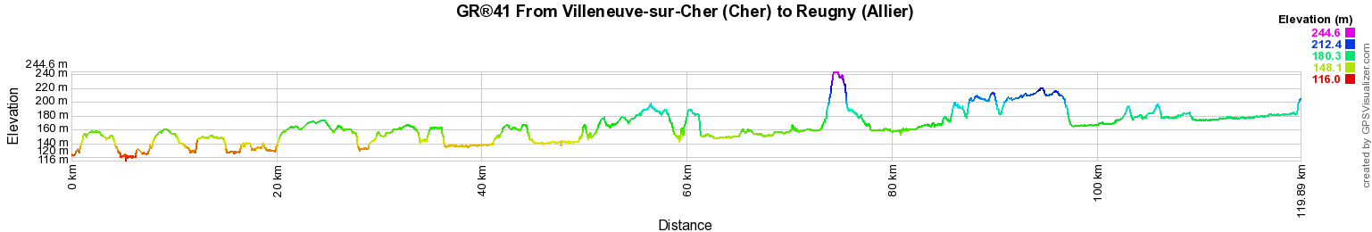
From Villeneuve-sur-Cher (Cher) to Reugny (Allier)
Cher Valley
120Km
Google Maps - Google Earth

© GPX Private use only |
Distance: 120km, Elevation maximum: 245m, Elevation minimum: 116m, Elevation gain uphill: 704m
IGN Maps: 2324SB - BOURGES MEHUN-SUR-YÈVRE. 2325SB - CHÂTEAUNEUF-SUR-CHER LEVET. 2326SB - SAINT-AMAND-MONTROND LIGNIÈRES. 2426SB - CHARENTON-DU-CHER VALIGNY FORÊT DE TRONÇAIS. 2427SB - CÉRILLY HÉRISSON VALLON-EN-SULLY.

Registration
Accommodation or business owner on or near a GR®, you can appear on GR-INFOS
For your registration, you can send me by email (papadimitriou4@gmail.com): your address and phone number, your website (Facebook page), a brief description with 5 beautiful photos of your establishment.
Registration price : € 100 per GR® or GRP® for 5 years. Renewable. |
GR®41 From Tours (Indre-et-Loire) to Solignat (Puy-de-Dome)
From Tours (Indre-et-Loire) to Selles-sur-Cher (Loir-et-Cher)
From Selles-sur-Cher (Loir-et-Cher) to Villeneuve-sur-Cher (Cher)
From Villeneuve-sur-Cher (Cher) to Reugny (Allier)
From Reugny (Allier) to Solignat (Puy-de-Dome)
 It is advisable to follow the beacons all along your hike and to bring you the FFRandonnee topo-guide. You
will also find information on MonGR.fr.
It is advisable to follow the beacons all along your hike and to bring you the FFRandonnee topo-guide. You
will also find information on MonGR.fr.
GR®, PR®, GRP®, and the corresponding signs of markings (white / red, yellow and yellow / red) are trademarks of the French
Federation of Hiking. They may not be reproduced without permission. The French Federation of Hiking, state-approved, includes organizations that create and maintain hiking routes on GR®, PR® and
GRP®. It publishes guides these topo hiking routes.
With your donations, support the actions of the thousands of volunteer markers of the FFRandonnee.
GR-Infos.com is an editorial partner of MonGR.fr.


Old romantic Hotel, L'Etoile Guest-House is a mountain retreat in the South of France. With a beautiful park along the Allier River, L'Etoile Guesthouse is located in La Bastide-Puylaurent between Lozere, Ardeche and Cevennes. Many hiking trails like GR®7, GR®70 Stevenson trail, GR®72, GR®700 Regordane way, Cevenol, GR®470 Allier River Springs and Gorges, Margeride, Ardechoise. Many hiking loops. The right place to relax.
Copyright©gr-infos.com (Authorization for private use only)