|
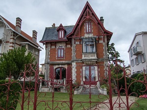
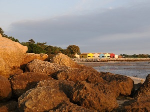
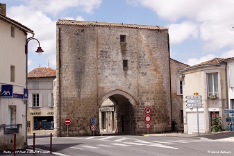
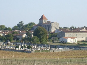
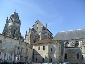
Hike on the GR®4 through Charente-Maritime department from Royan to Saintes via Saint-Palais-sur-Mer, Les Pierrieres, Le Platin, La Grande Cote, Les Combots, Les Mathes, Les Brandes, Ronce les Bains, Bourcefranc-le-Chapus, Nodes, Hiers, Brouage, Beaugeay, Les Caffaudieres, Le Merzaud, Les Chaumes, Le Pas d'Arnaise, Gatechoux, Pont-l'Abbe-d'Arnoult, Paluaud, La Seguiniere, Saint-Sulpice-d'Arnoult, L'Isleau, Le Rivollet, Corme-Royal, Les Touches, Nieul-les-Saintes, Saint-Georges-des-Coteaux, Mongre and Les Vacherons. Guest House, Bed and Breakfast, Hotel, Camping, Shelter, Inn, Shops. |

GR®4
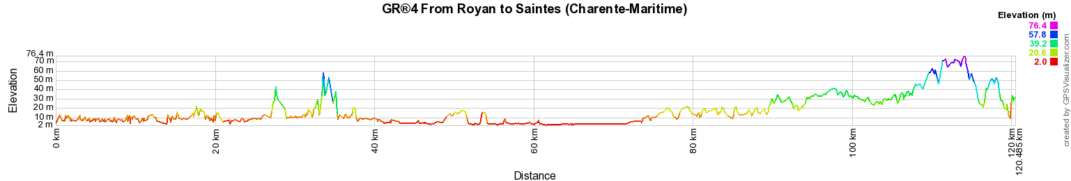
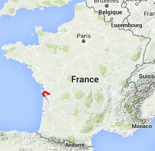
From Royan to Saintes (Charente-Maritime)
Atlantic to Mediterranean Sea
120km