|
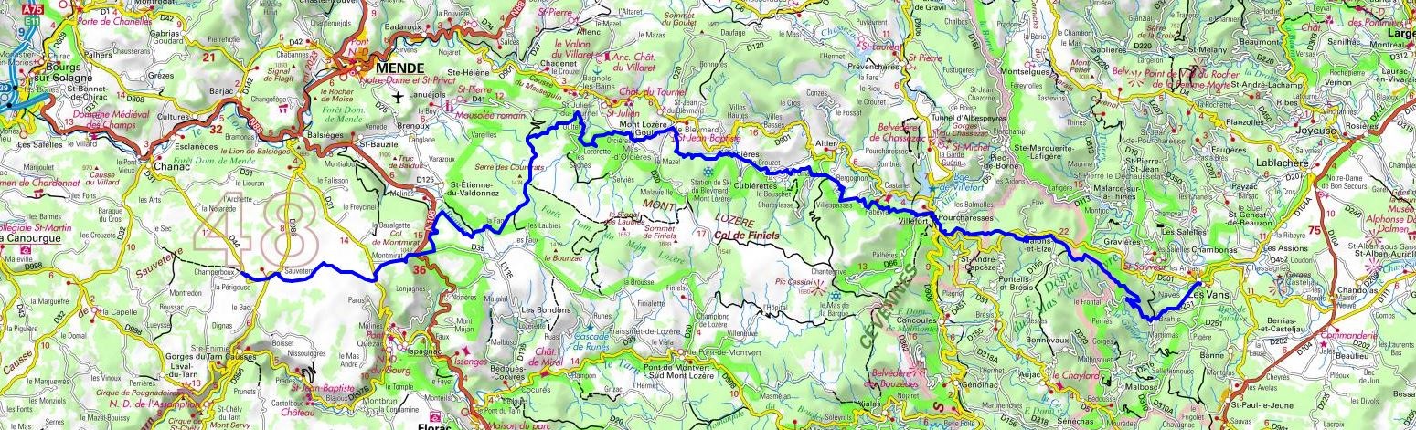
Hike on the GR®44 through Ardeche and Lozere department from les Vans to Champerboux via Villefort, Mas d'Orcieres, Auriac (Saint-Julien-du-Tournel), Les Laubies (Saint-Etienne-du-Valdonnez) and le
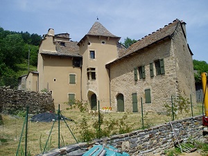
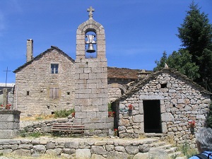
Montmirat Pass (St Etienne-de-Valdonnez). Guest House, Bed and Breakfast, Hotel, Camping, Shelter, Inn, Shops.
|

|

GR®44
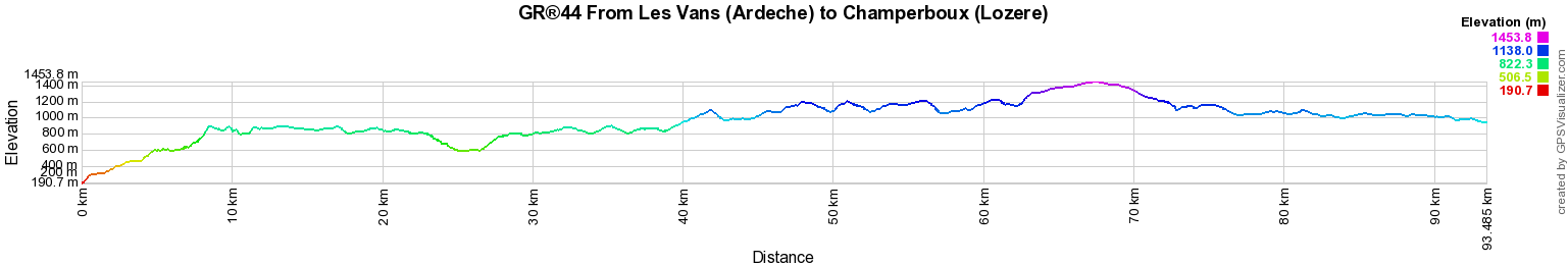
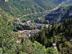
From Les Vans (Ardeche) to Champerboux (Lozere)
93Km
Google Maps - Google Earth

© GPX Private use only |
Distance: 93km, Elevation maximum: 1453m, Elevation minimum: 191m, Elevation gain uphill: 3303m
IGN Maps: Florac (2639E). Ste-Enimie Gorges du Tarn (2639O). La Bastide-Puylaurent (2738E). Le Bleymard (2738O). Mont Lozere Florac PN des Cevennes (2739OT).
Besseges Les Vans Vallee du Chassezac (2839OT).

Registration
Accommodation or business owner on or near a GR®, you can appear on GR-INFOS
For your registration, you can send me by email (papadimitriou4@gmail.com): your address and phone number, your website (Facebook page), a brief description with 5 beautiful photos of your establishment.
Registration price : € 100 per GR® or GRP® for 5 years. Renewable. |
Nearby paths:
The Cevenol (Lozere, Ardeche, Gard)
Around Chassezac (Lozere)
Around Upper Ceze Valley (Gard-Ardeche)
Around Causse Sauveterre (Lozere-Aveyron)
GR®4 From Atlantic to Mediterranean
GR®7 From Vosges to Pyrenees
GR®43 From Faisses Pass to Ste Eulalie (Lozere)
GR®44B From Vans (Ardeche) to Mialet (Gard)
GR®60 From Signal de Mailhebiau (Lozere-Aveyron) to St Mathieu-de-Treviers (Herault)
GR®68 Around Mont Lozere
GR®70 Stevenson trail
GR®72 From Les Chambons (Ardeche) to Barre-des-Cevennes (Lozere)
GR®700 Regordane way
GR®736 Tarn Valley and Gorges (Lozere, Aveyron, Tarn)
 It is advisable to follow the beacons all along your hike and to bring you the FFRandonnee topo-guide. You
will also find information on MonGR.fr.
It is advisable to follow the beacons all along your hike and to bring you the FFRandonnee topo-guide. You
will also find information on MonGR.fr.
GR®, PR®, GRP®, and the corresponding signs of markings (white / red, yellow and yellow / red) are trademarks of the French
Federation of Hiking. They may not be reproduced without permission. The French Federation of Hiking, state-approved, includes organizations that create and maintain hiking routes on GR®, PR® and
GRP®. It publishes guides these topo hiking routes.
With your donations, support the actions of the thousands of volunteer markers of the FFRandonnee.
GR-Infos.com is an editorial partner of MonGR.fr.

Old romantic Hotel, L'Etoile Guest-House is a mountain retreat in the South of France. With a beautiful park along the Allier River, L'Etoile Guesthouse is located in La Bastide-Puylaurent between Lozere, Ardeche and Cevennes. Many hiking trails like GR®7, GR®70 Stevenson trail, GR®72, GR®700 Regordane way, Cevenol, GR®470 Allier River Springs and Gorges, Margeride, Ardechoise. Many hiking loops. The right place to relax.
Copyright©gr-infos.com (Authorization for private use only)