
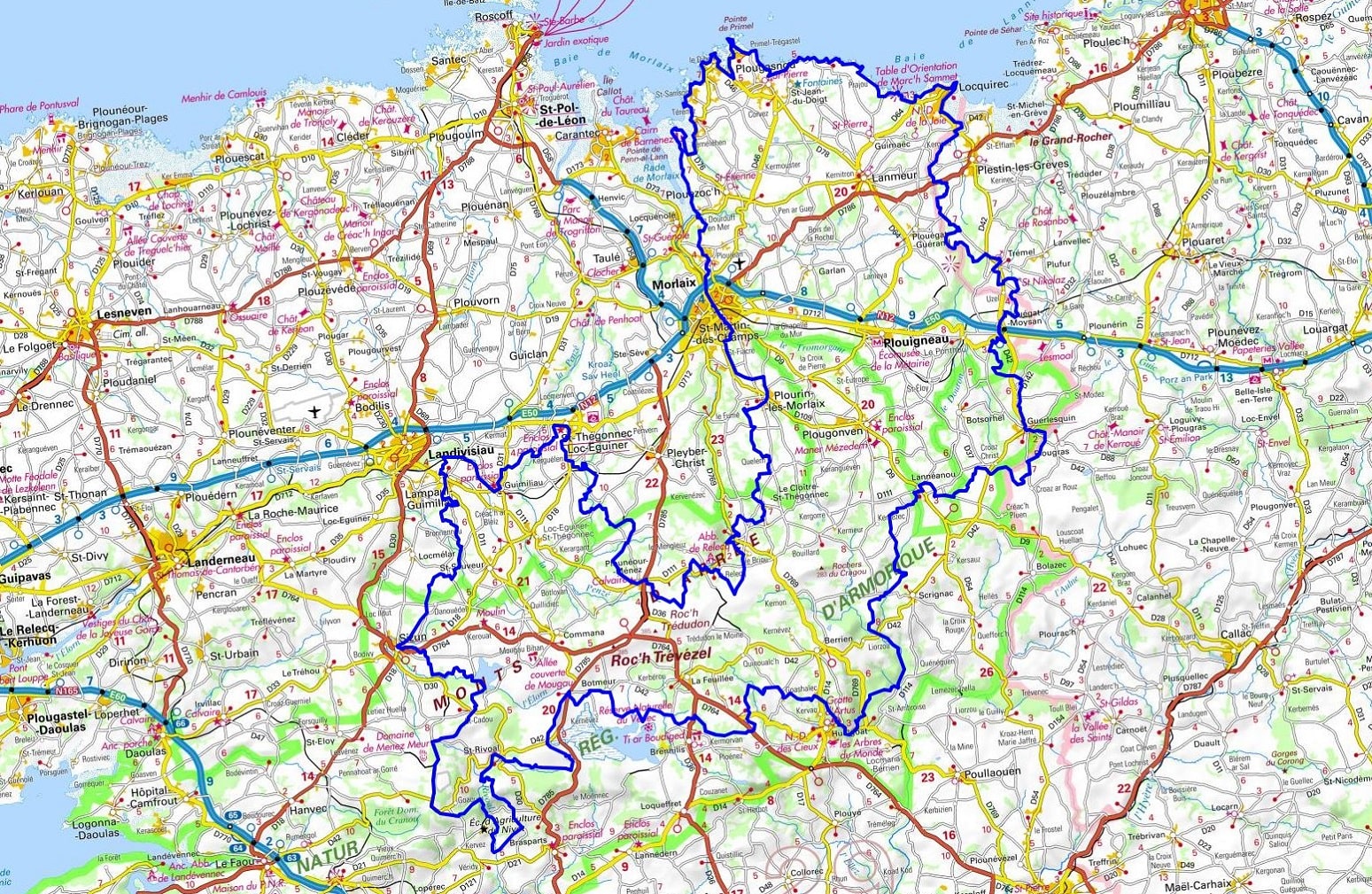
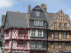
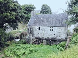
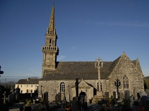
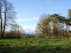
The GR®380, traversing the wild and mystical heart of Armorican Brittany, crosses schist ridges and low-lying moors dominated by iconic peaks such as Roc'h Ruz and Mont Saint-Michel de Brasparts. The landscapes, often compared to the Irish steppes, offer 360° panoramas of Finistère, revealing a rugged terrain shaped by the erosion of the Armorican Massif. History and heritage mark this route, from the famous parish enclosures—jewels of 16th-century Breton religious art—to the industrial remains of former slate quarries. The trail crosses the Yeun Elez peat bogs, a place steeped in legend, said to be the gateway to hell (the Gates of Ankou). Between the granite boulders of Huelgoat and the windswept ridges, hikers will find themselves amidst rare biodiversity, home to harriers and curlews.

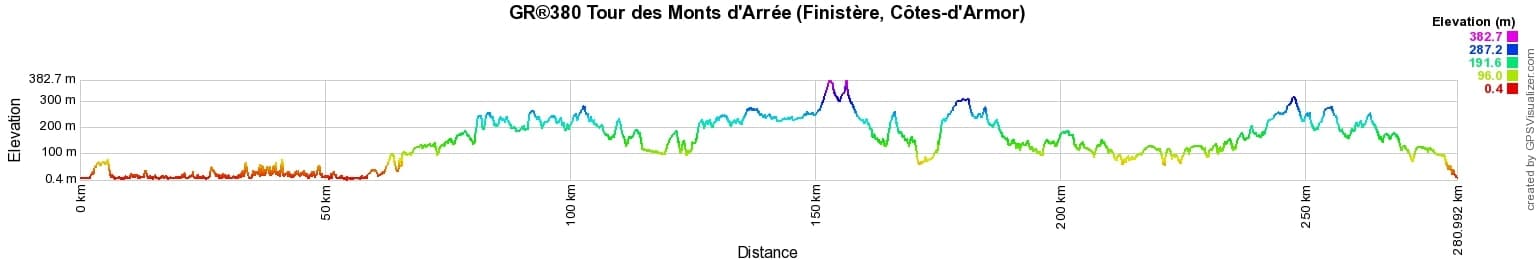
 Distance: 281km, Elevation maximum: 381m, Elevation minimum: 3m, Elevation gain uphill: 4092m
IGN Maps: 0615ET - MORLAIX. 0616OT - MORLAIX. 0516OT - LANDERNEAU LANDIVISIAU. 0517OT - PLOUGASTEL-DAOULAS. 0617OT - HUELGOAT MONTS D'ARREE. 0715SB - LANNION. 0716SB - BELLE-ISLE-EN-TERRE.
Nearby paths:
![]() It is advisable to follow the beacons throughout your itinerary and to take the Fédération Française de la Randonnée Pédestre topo-guide with you. You will also find information on MonGR.fr.
It is advisable to follow the beacons throughout your itinerary and to take the Fédération Française de la Randonnée Pédestre topo-guide with you. You will also find information on MonGR.fr.
GR®, PR®, GRP®, and the corresponding signs of markings (white / red, yellow and yellow / red) are trademarks of the French Federation of Hiking. They may not be reproduced without permission. The French Federation of Hiking, state-approved, includes organizations that create and maintain hiking routes on GR®, PR®, and GRP®. It publishes guides for these topo hiking routes. With your donations, you support the actions of the thousands of FFRandonnée volunteer markers.
GR-Infos.com is an editorial partner of MonGR.fr.
| Return |

Former holiday hotel with a garden along the Allier, L'Etoile Guest House is located in La Bastide-Puylaurent between Lozere, Ardeche, and the Cevennes in the mountains of Southern France. At the crossroads of GR®7, GR®70 Stevenson Path, GR®72, GR®700 Regordane Way, GR®470 Allier River springs and gorges, GRP® Cevenol, Ardechoise Mountains, Margeride. Numerous loop trails for hiking and one-day biking excursions. Ideal for a relaxing and hiking getaway.
Copyright©gr-infos.com (Authorization for private use only)
To help us maintain and improve GR-Infos.com, a contribution of 2€ is desired via Wero or bank transfer. Thank you!