
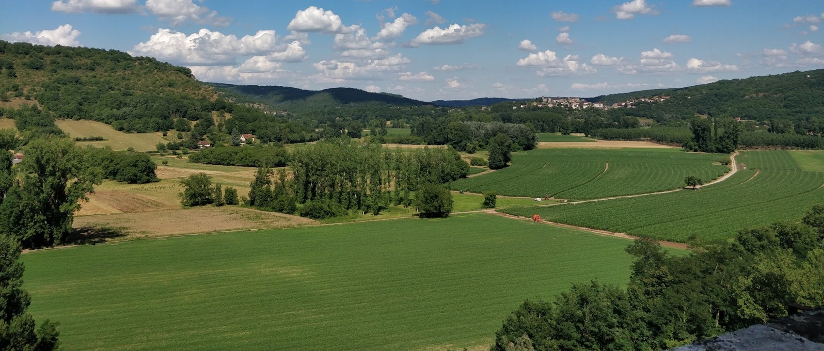
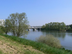
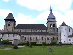
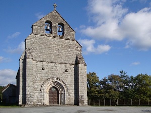
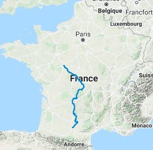
The GR®46 is a historic and wild diagonal trail linking Tours to Toulouse, traversing the authentic heart of France for nearly 1,000 kilometres. Starting in Touraine, the path winds its way between the vineyards and châteaux of the Loire Valley before venturing into the rolling landscapes of Berry and Creuse. Heading south, hikers discover the medieval heritage of Bas-Quercy and the spectacular gorges of the Aveyron. Nature reigns supreme: from the dense forests of Limousin to the limestone plateaux of the Causses du Quercy, the biodiversity changes dramatically with every step. The route is dotted with charming towns like Rocamadour and Saint-Antonin-Noble-Val, offering a complete immersion in stone architecture.
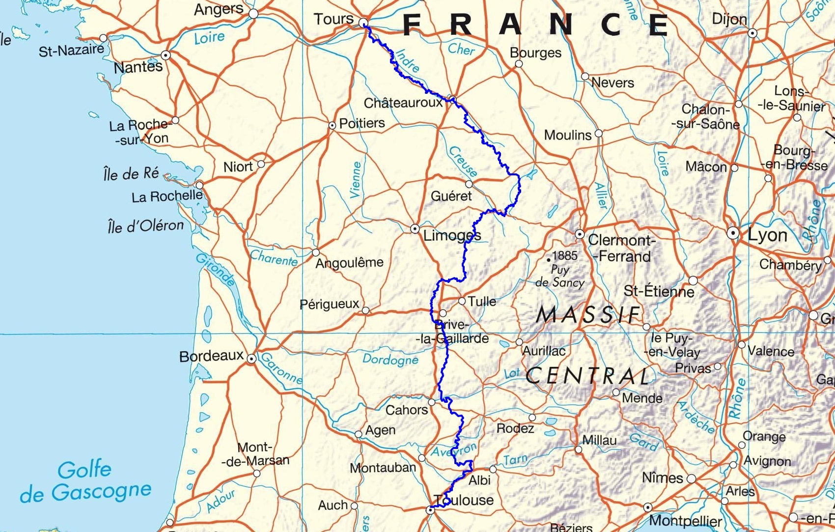

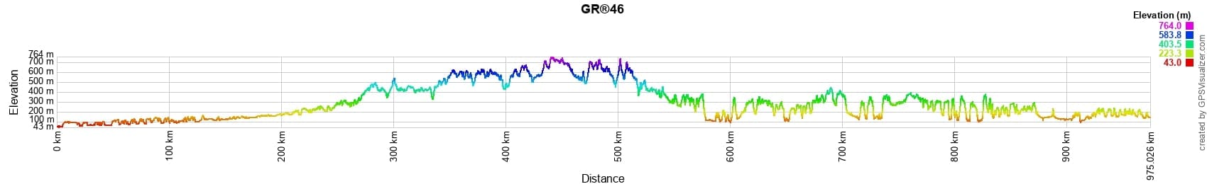
 Distance: 972km, Elevation maximum: 763m, Elevation minimum: 46m, Elevation gain uphill: 16253m
![]() It is advisable to follow the beacons all along your hike and to bring the FFRandonnée topo-guide. You will also find information on MonGR.fr.
It is advisable to follow the beacons all along your hike and to bring the FFRandonnée topo-guide. You will also find information on MonGR.fr.
GR®, PR®, GRP®, and the corresponding signs of markings (white/red, yellow and yellow/red) are trademarks of the French Federation of Hiking. They may not be reproduced without permission. The French Federation of Hiking, state-approved, includes organizations that create and maintain hiking routes on GR®, PR® and GRP®. It publishes topo-guides for these hiking routes. With your donations, support the actions of the thousands of volunteer markers of the FFRandonnée.
GR-Infos.com is an editorial partner of MonGR.fr.
| Return |

Former holiday hotel with a garden along the Allier, L'Etoile Guest House is located in La Bastide-Puylaurent between Lozere, Ardeche, and the Cevennes in the mountains of Southern France. At the crossroads of GR®7, GR®70 Stevenson Path, GR®72, GR®700 Regordane Way, GR®470 Allier River springs and gorges, GRP® Cevenol, Ardechoise Mountains, Margeride. Numerous loop trails for hiking and one-day biking excursions. Ideal for a relaxing and hiking getaway.
Copyright©gr-infos.com (Authorization for private use only)
To help us maintain and improve GR-Infos.com, a contribution of 2€ is desired via Wero or bank transfer. Thank you!