|
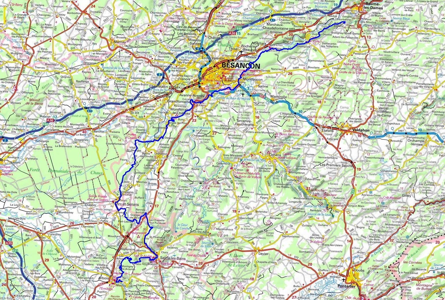
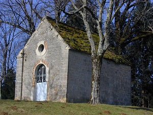
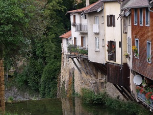
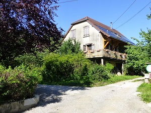
Hike on the GR®59 through le Doubs and le Jura department from Silley-Blefond to Mesnay via Laissey, Vaire, Roche-lez-Beaupre, Montfaucon, Morre, Beure, Avanne-Aveney, Busy, Vorges-les-Pins, Boussieres, Quingey, Cessey, Goux-sous-Landet, Bartherans, Myon, Clucy, Salins-les-Bains, Pretin, Montigny-les-Arsures and Arbois. Guest House, Bed and Breakfast, Hotel, Camping, Shelter, Inn, Shops.
|

|

GR®59
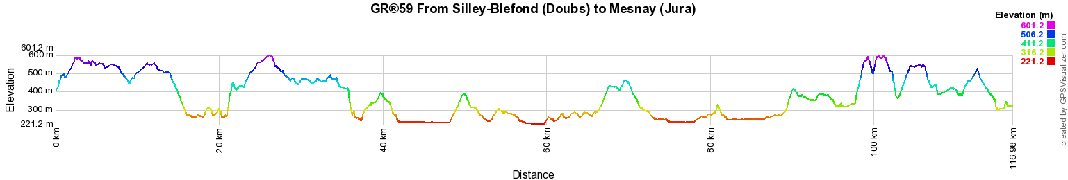
From Silley-Blefond (Doubs) to Mesnay (Jura)
From Vosges to Jura
117km
Google Maps - Google Earth


© GPX Private use only |
Distance: 117km, Elevation maximum: 601m, Elevation minimum: 221m, Elevation gain uphill: 2818m
IGN Maps: Besancon foret de Chailluz (3323ET). Marnay (3323O). Arc-en-Senans Quingey Vallees
de la Loue and du Lison (3324ET). Arbois Salins-les-Bains foret Domaniale de la Joux (3325OT). Baume-les-Dames Vallee du Doubs (3423ET).

Registration
Accommodation or business owner on or near a GR®, you can appear on GR-INFOS
For your registration, you can send me by email (papadimitriou4@gmail.com): your address and phone number, your website (Facebook page), a brief description with 5 beautiful photos of your establishment.
Registration price : 100€/5 years per GR® or GRP®. Renewable. |
GR®59 From Vosges to Jura
From Ballon d'Alsace (Vosges) to Silley-Blefond (Doubs)
From Silley-Blefond (Doubs) to Mesnay (Jura)
From Mesnay (Jura) to Val-Revermont (Ain)
From Val-Revermont (Ain) to Culoz (Ain)
 It is advisable to follow the beacons all along your hike and to bring you the FFRandonnee topo-guide. You
will also find information on MonGR.fr.
It is advisable to follow the beacons all along your hike and to bring you the FFRandonnee topo-guide. You
will also find information on MonGR.fr.
GR®, PR®, GRP®, and the corresponding signs of markings (white / red, yellow and yellow / red) are trademarks of the French
Federation of Hiking. They may not be reproduced without permission. The French Federation of Hiking, state-approved, includes organizations that create and maintain hiking routes on GR®, PR® and
GRP®. It publishes guides these topo hiking routes.
With your donations, support the actions of the thousands of volunteer markers of the FFRandonnee.
GR-Infos.com is an editorial partner of MonGR.fr.


Old romantic Hotel, L'Etoile Guest-House is a mountain retreat in the South of France. With a beautiful park along the Allier River, L'Etoile Guesthouse is located in La Bastide-Puylaurent between Lozere, Ardeche and Cevennes. Many hiking trails like GR®7, GR®70 Stevenson trail, GR®72, GR®700 Regordane way, Cevenol, GR®470 Allier River Springs and Gorges, Margeride, Ardechoise. Many hiking loops. The right place to relax.
Copyright©gr-infos.com (Authorization for private use only)