|
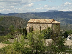
Hike on the GR®69 La Routo through Alpes-de-Haute-Provence department from Riez to Le Vernet via Puimoisson, Saint-Jurs, Bras-d'Asse, Saint-Jeannet, Chaffaut-Saint-Jurson, Digne-les-Bains, Marcoux and La Javie. Guest House, Bed and Breakfast, Hotel, Camping, Shelter, Inn, Shops.
|

|

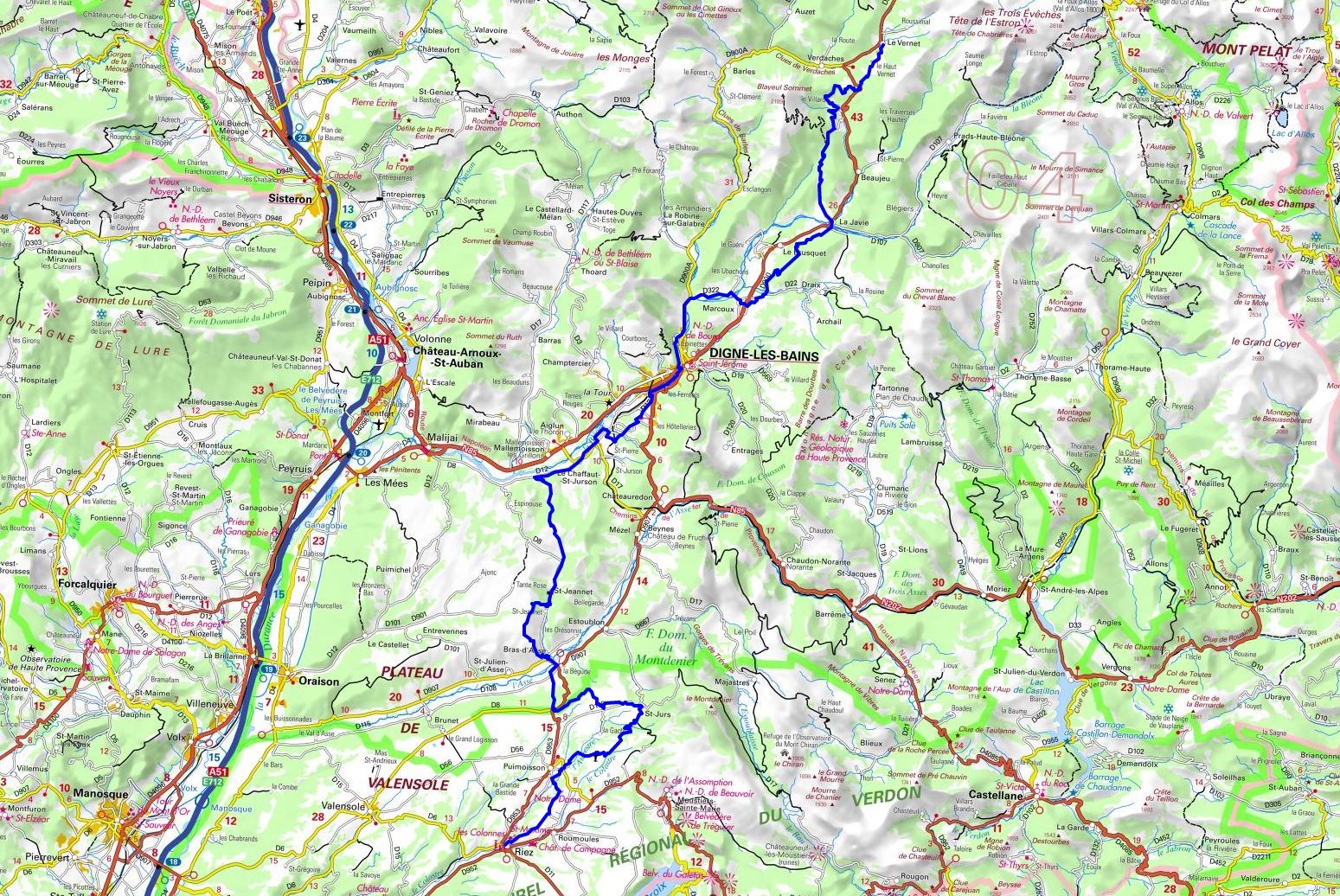
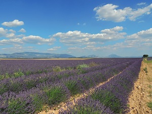
GR®69
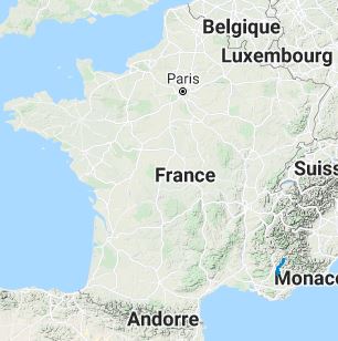
From Riez to Le Vernet (Alpes-de-Haute-Provence)
La Routo
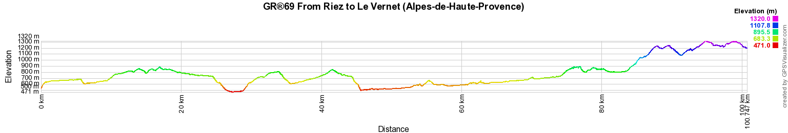
100km
Google Maps - Google Earth

© GPX Private use only |
Distance: 100km, Elevation maximum: 1320m, Elevation minimum: 471m, Elevation gain uphill: 2709m
IGN Maps: 3340ET - DIGNE-LES-BAINS / SISTERON / LES MEES. 3342ET - PLATEAU DE VALENSOLE / RIEZ / ORAISON / PNR DU VERDON. 3439ET - SEYNE / CHABANON / GRAND-PUY / TETE DE L'ESTROP. 3440ET - DIGNE-LES-BAINS / LA JAVIE / VALLEE DE LA BLEONE. 3441OT - BARREME / VALLEE DE L'ASSE / PNR DU VERDON. 3442OT - GORGES-DU-VERDON / MOUSTIERS-SAINTE-MARIE / LAC DE SAINTE-CROIX.
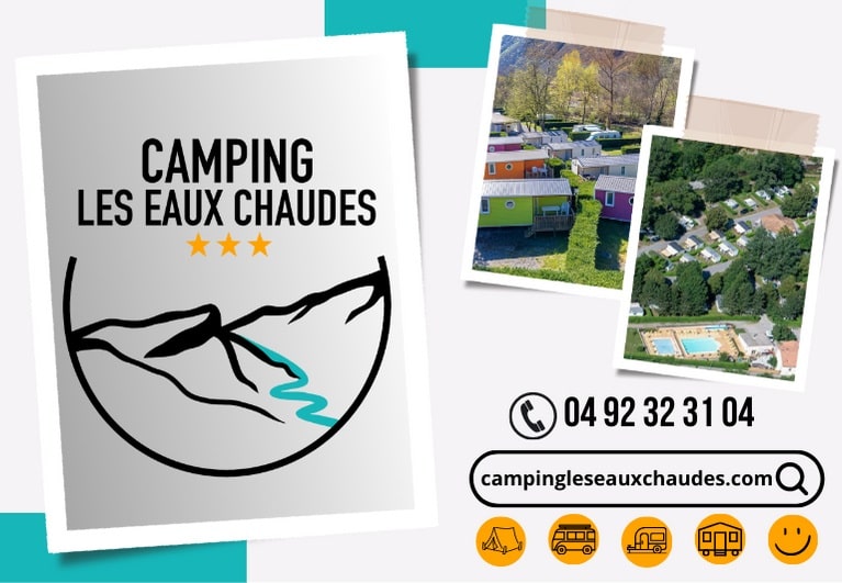
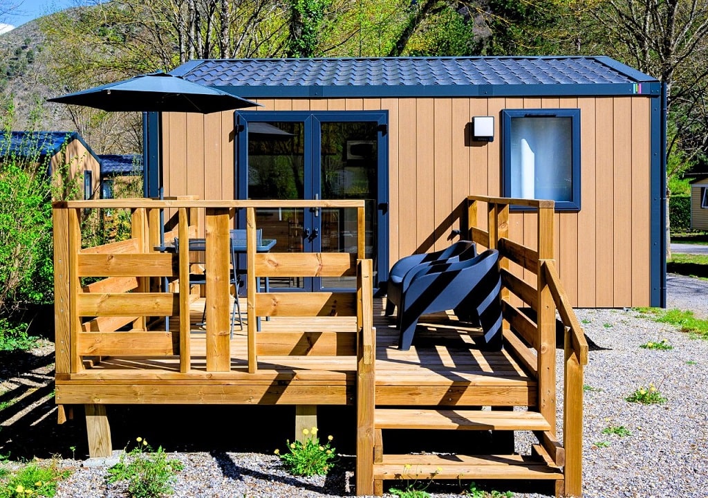
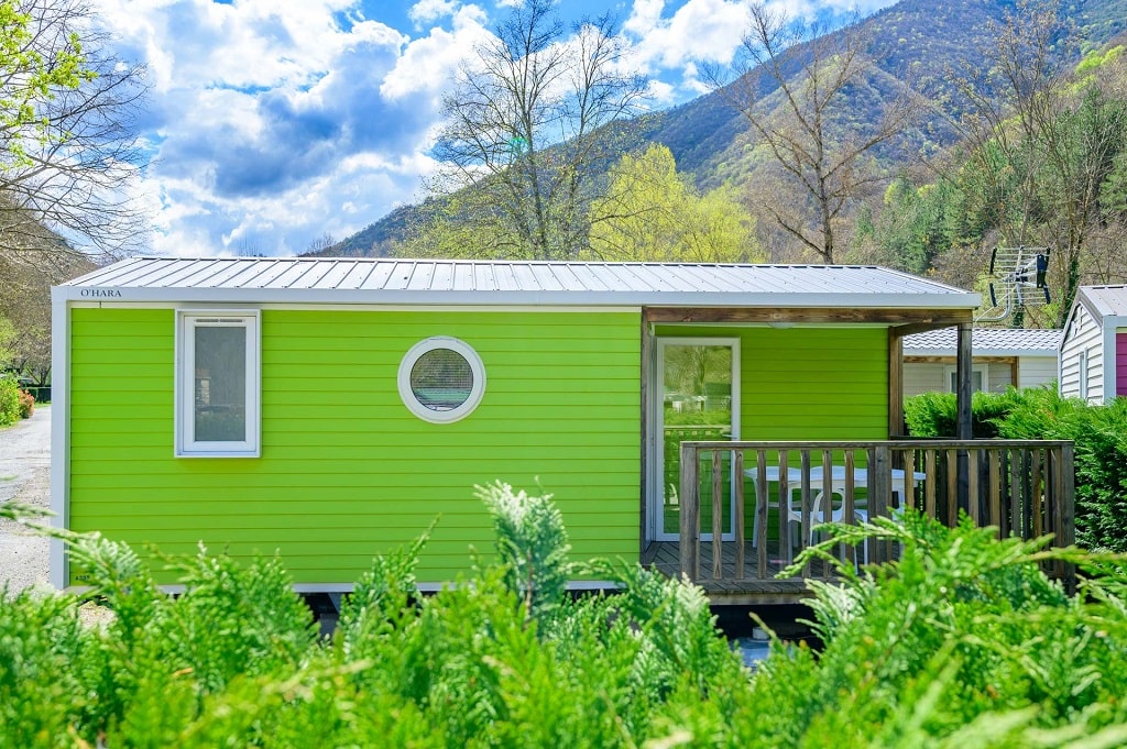
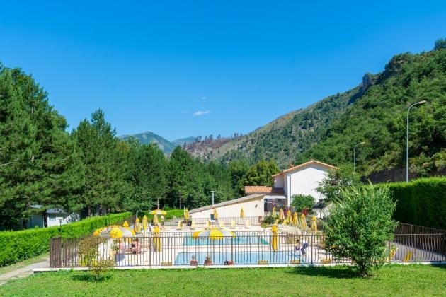
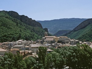
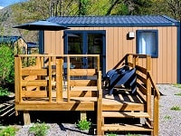
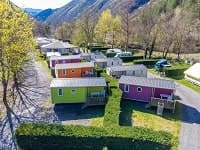
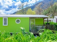
Digne-les-Bains: Les Eaux Chaudes Camping,
06 77 63 21 67, Email
An ideal stop for hikers on the GR®69 La Routo trail. Enjoy an exceptional natural setting surrounded by majestic mountains. Rest by the pool, meals, and relaxation await you in our comfortable and equipped accommodations. May our campsite contribute to the success of your journey.
|
|

Registration
Accommodation or business owner on or near a GR®, you can appear on GR-INFOS
For your registration, you can send me by email (papadimitriou4@gmail.com): your address and phone number, your website (Facebook page), a brief description with 5 beautiful photos of your establishment.
Registration price : 25€/year or 100€/5 years per GR® or GRP®. Renewable. |
GR®69 La Routo
From Arles to Aix-en-Provence (Bouches-du-Rhone)
From Aix-en-Provence (Bouches-du-Rhone) to Riez (Alpes-de-Haute-Provence)
From Riez to Le Vernet (Alpes-de-Haute-Provence)
From Le Vernet to Ruburent Pass (Alpes-de-Haute-Provence)
 It is advisable to follow the beacons all along your hike and to bring you the FFRandonnee topo-guide. You
will also find information on MonGR.fr.
It is advisable to follow the beacons all along your hike and to bring you the FFRandonnee topo-guide. You
will also find information on MonGR.fr.
GR®, PR®, GRP®, and the corresponding signs of markings (white / red, yellow and yellow / red) are trademarks of the French
Federation of Hiking. They may not be reproduced without permission. The French Federation of Hiking, state-approved, includes organizations that create and maintain hiking routes on GR®, PR® and
GRP®. It publishes guides these topo hiking routes.
With your donations, support the actions of the thousands of volunteer markers of the FFRandonnee.
GR-Infos.com is an editorial partner of MonGR.fr.

Old romantic Hotel, L'Etoile Guest-House is a mountain retreat
in the South of France. With a beautiful park along the Allier River, L'Etoile Guesthouse is located in La Bastide-Puylaurent between Lozere, Ardeche and Cevennes. Many hiking
trails like GR®7, GR®70 Stevenson trail, GR®72, GR®700 Regordane way, Cevenol, GR®470 Allier River Springs and Gorges, Margeride, Ardechoise. Many hiking loops. The
right place to relax.
Copyright©gr-infos.com (Authorization for private use only)