
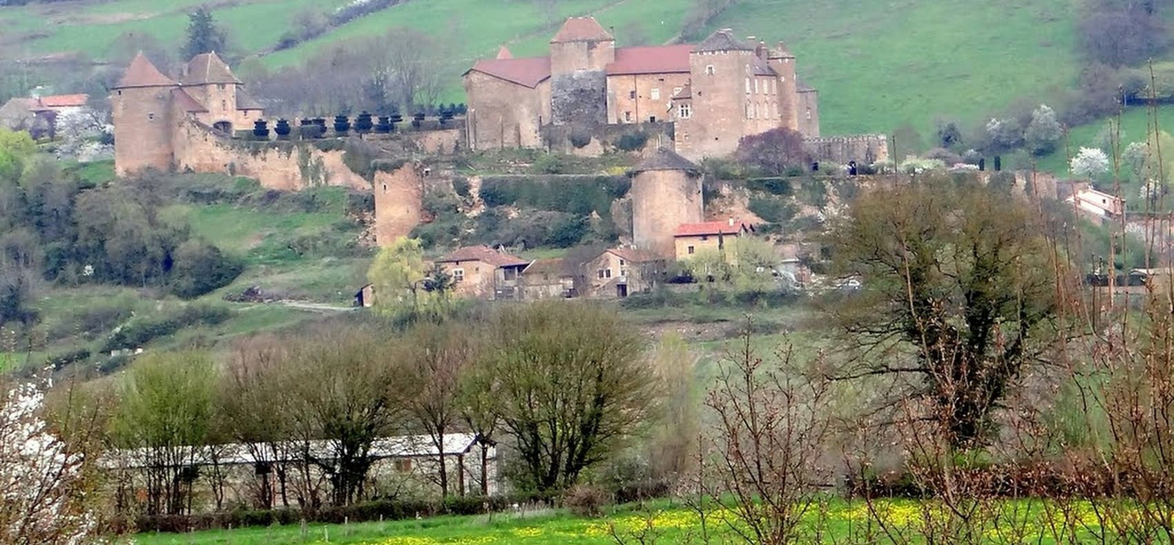
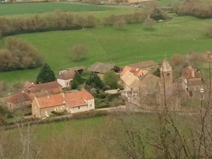
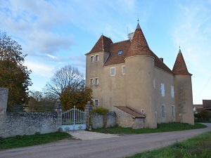
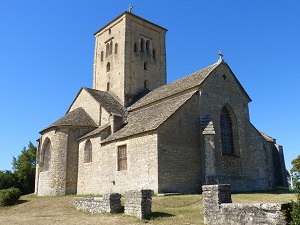
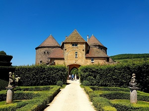
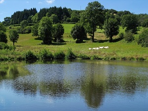
The GR®76A is an enchanting trail connecting Saint-Vallerin in Saône-et-Loire to Mont Saint-Rigaud in the Rhône, traversing the heart of the Beaujolais and Burgundy landscapes. This route takes hikers through rolling hills, ancient vineyards, and lush oak forests, offering panoramic views of the surrounding valleys. Mont Saint-Rigaud, the highest peak in the Rhône department, provides a stunning vantage point over the region. The trail is steeped in history, passing through picturesque medieval villages and traditional hamlets that showcase the local rural architecture. It is an ideal journey for nature lovers and those seeking to explore the authentic charm and terroir of this famous wine-producing area.
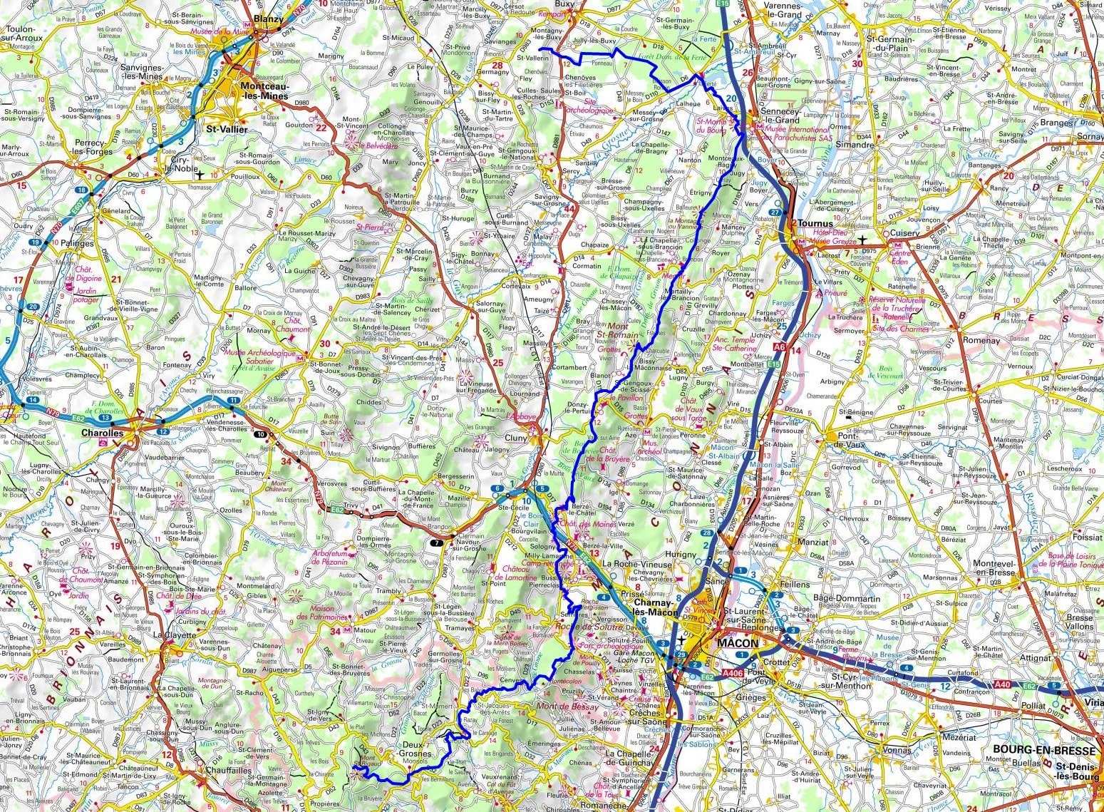
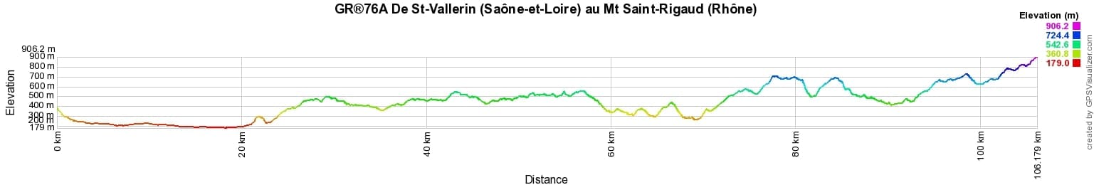
 Distance: 98km, Elevation maximum: 1009m, Elevation minimum: 228m, Elevation gain uphill: 3300m
IGN Maps: Chalon-sur-Saone (2926E). Buxy (2927O). Cluny (2927E). Macon (2928O). Beaujeu (2929ET).
Nearby paths:
![]() It is advisable to follow the beacons all along your hike and to bring the FFRandonnee topo-guide. You will also find information on MonGR.fr.
It is advisable to follow the beacons all along your hike and to bring the FFRandonnee topo-guide. You will also find information on MonGR.fr.
GR®, PR®, GRP®, and the corresponding signs of markings (white/red, yellow and yellow/red) are trademarks of the French Federation of Hiking. They may not be reproduced without permission. The French Federation of Hiking, state-approved, includes organizations that create and maintain hiking routes on GR®, PR® and GRP®. It publishes guides for these topo hiking routes. With your donations, support the actions of the thousands of volunteer markers of the FFRandonnee.
GR-Infos.com is an editorial partner of MonGR.fr.
| Return |

Former holiday hotel with a garden along the Allier, L'Etoile Guest House is located in La Bastide-Puylaurent between Lozere, Ardeche, and the Cevennes in the mountains of Southern France. At the crossroads of GR®7, GR®70 Stevenson Path, GR®72, GR®700 Regordane Way, GR®470 Allier River springs and gorges, GRP® Cevenol, Ardechoise Mountains, Margeride. Numerous loop trails for hiking and one-day biking excursions. Ideal for a relaxing and hiking getaway.
Copyright©gr-infos.com (Authorization for private use only)
To help us maintain and improve GR-Infos.com, a contribution of 2€ is desired via Wero or bank transfer. Thank you!