|
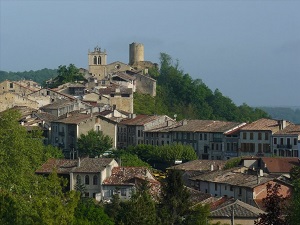
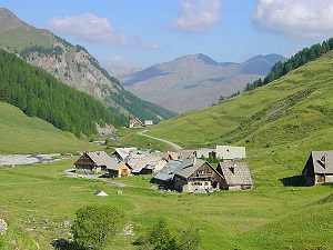
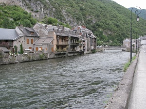
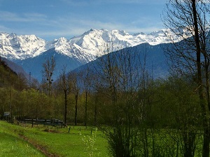
Hike on the GR®86 through Haute-Garonne department from Aurignac to Bagneres-de-Luchon via Saman, Lespugue, Montmaurin, Le Cuing, Clarac, Ausson, Valcabrere, Loures-Barousse, Sauveterre-de-Comminges, Saint-Pe-d'Ardet, Chaum, Boutx Le Mourtis, Saint-Beat, Cazaux-Layrisse and Antignac. Guest House, Bed and Breakfast, Hotel, Camping, Shelter, Inn, Shops.
|

|

GR®86
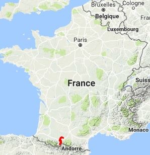
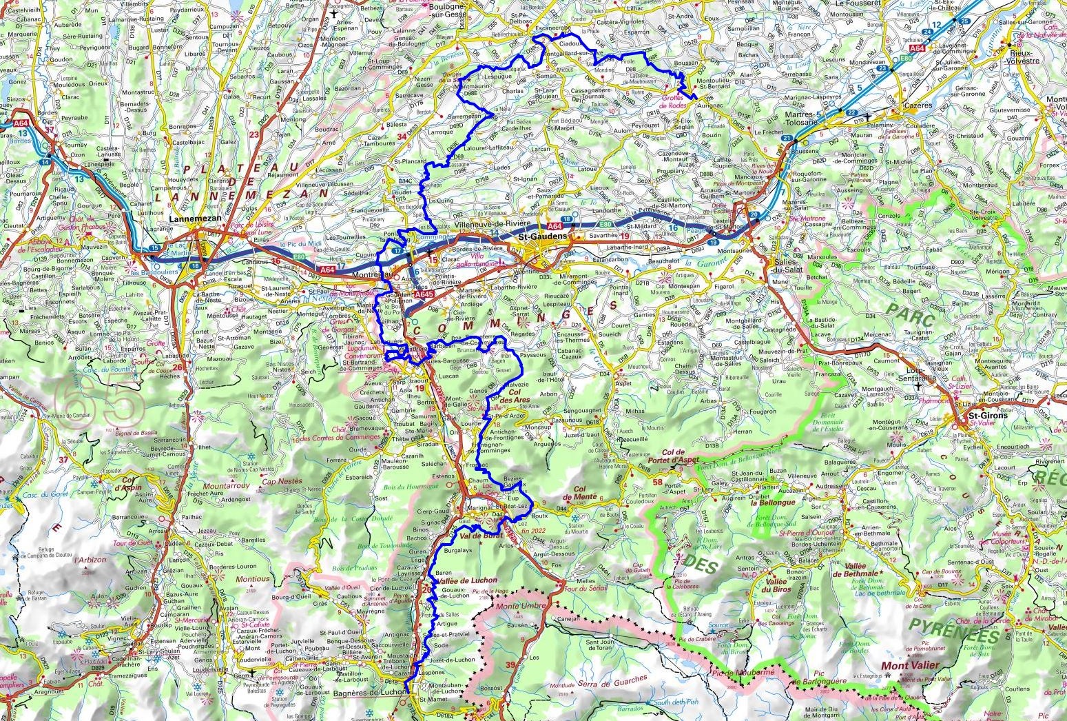
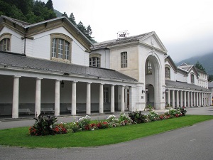
From Aurignac to Bagneres-de-Luchon (Haute-Garonne)
152Km
Google Maps - Google Earth

© GPX Private use only |
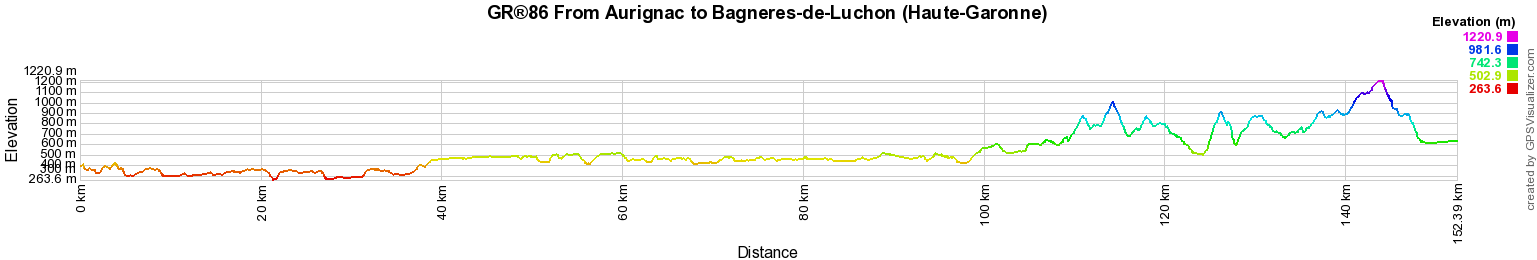
Distance: 152km, Elevation maximum: 1224m, Elevation minimum: 262m, Elevation gain uphill: 4201m
IGN Maps: Montrejeau (1846E). St-Bertrand-de-Comminges (1847OT). Bagneres-de-Luchon Lac d'Oo (1848OT) Aurignac (1945O).
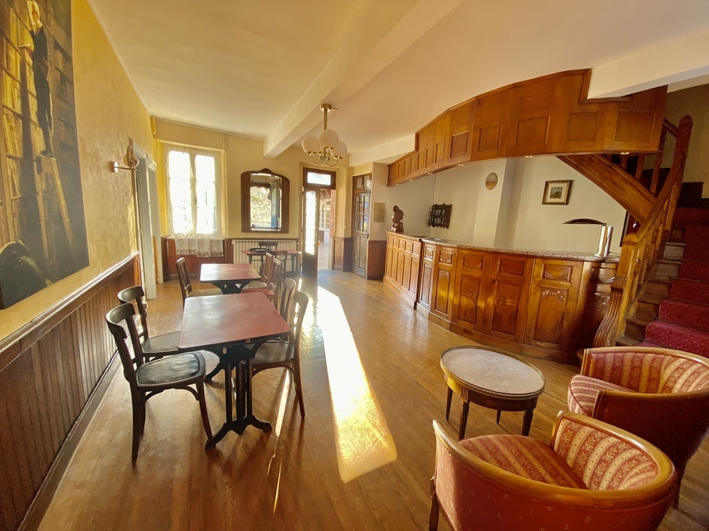
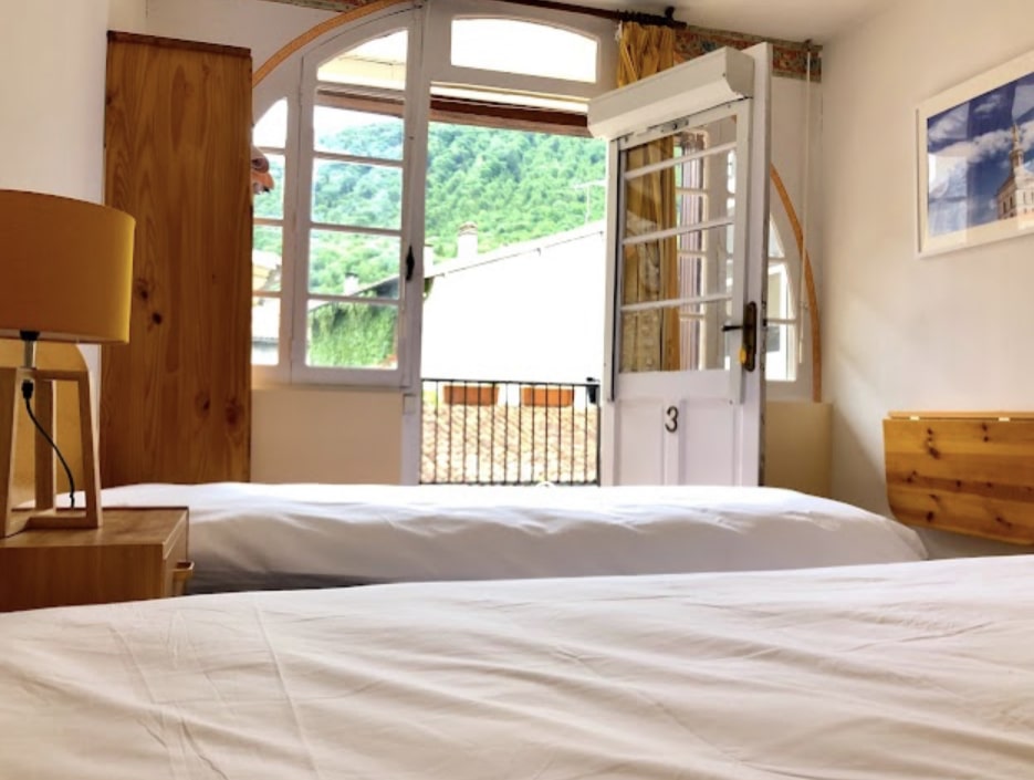
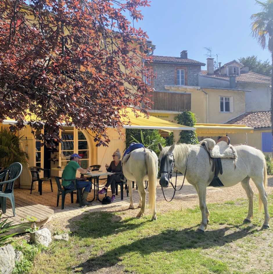
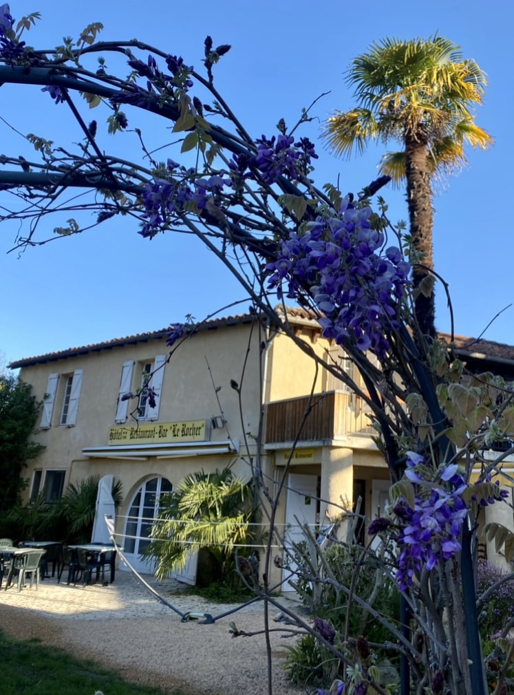
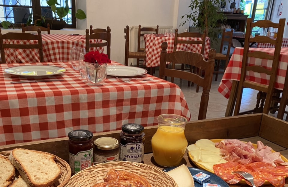
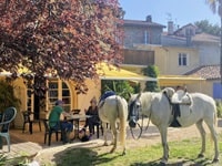
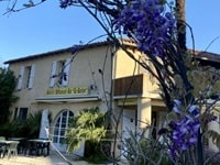
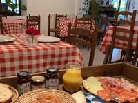
Barbazan: Le Rocher Guest house Pizzeria, M. Alberti, 06 74 00 64 38, Email
Room with double bed 65 euros or single bed 55 euros breakfast included. Shower and sanitary facilities in each room. “Lounge” area and library. Courtyard and garden with secure bicycle storage. Accommodation available 7/7 by reservation. Half-board possible. Have a good trip everyone! |
|

Registration
Accommodation or business owner on or near a GR®, you can appear on GR-INFOS
For your registration, you can send me by email (papadimitriou4@gmail.com): your address and phone number, your website (Facebook page), a brief description with 5 beautiful photos of your establishment.
Registration price : 25€/year or 100€/5 years per GR® or GRP®. Renewable. |
GR®86 From Toulouse to Bagneres-de-Luchon (Haute-Garonne)
From Toulouse to Aurignac (Haute-Garonne)
From Aurignac to Bagneres-de-Luchon (Haute-Garonne)
 It is advisable to follow the beacons all along your hike and to bring you the FFRandonnee topo-guide. You
will also find information on MonGR.fr.
It is advisable to follow the beacons all along your hike and to bring you the FFRandonnee topo-guide. You
will also find information on MonGR.fr.
GR®, PR®, GRP®, and the corresponding signs of markings (white / red, yellow and yellow / red) are trademarks of the French
Federation of Hiking. They may not be reproduced without permission. The French Federation of Hiking, state-approved, includes organizations that create and maintain hiking routes on GR®, PR® and
GRP®. It publishes guides these topo hiking routes.
With your donations, support the actions of the thousands of volunteer markers of the FFRandonnee.
GR-Infos.com is an editorial partner of MonGR.fr.

Old romantic Hotel, L'Etoile Guest-House is a mountain retreat
in the South of France. With a beautiful park along the Allier River, L'Etoile Guesthouse is located in La Bastide-Puylaurent between Lozere, Ardeche and Cevennes. Many hiking
trails like GR®7, GR®70 Stevenson trail, GR®72, GR®700 Regordane way, Cevenol, GR®470 Allier River Springs and Gorges, Margeride, Ardechoise. Many hiking loops. The
right place to relax.
Copyright©gr-infos.com (Authorization for private use only)