
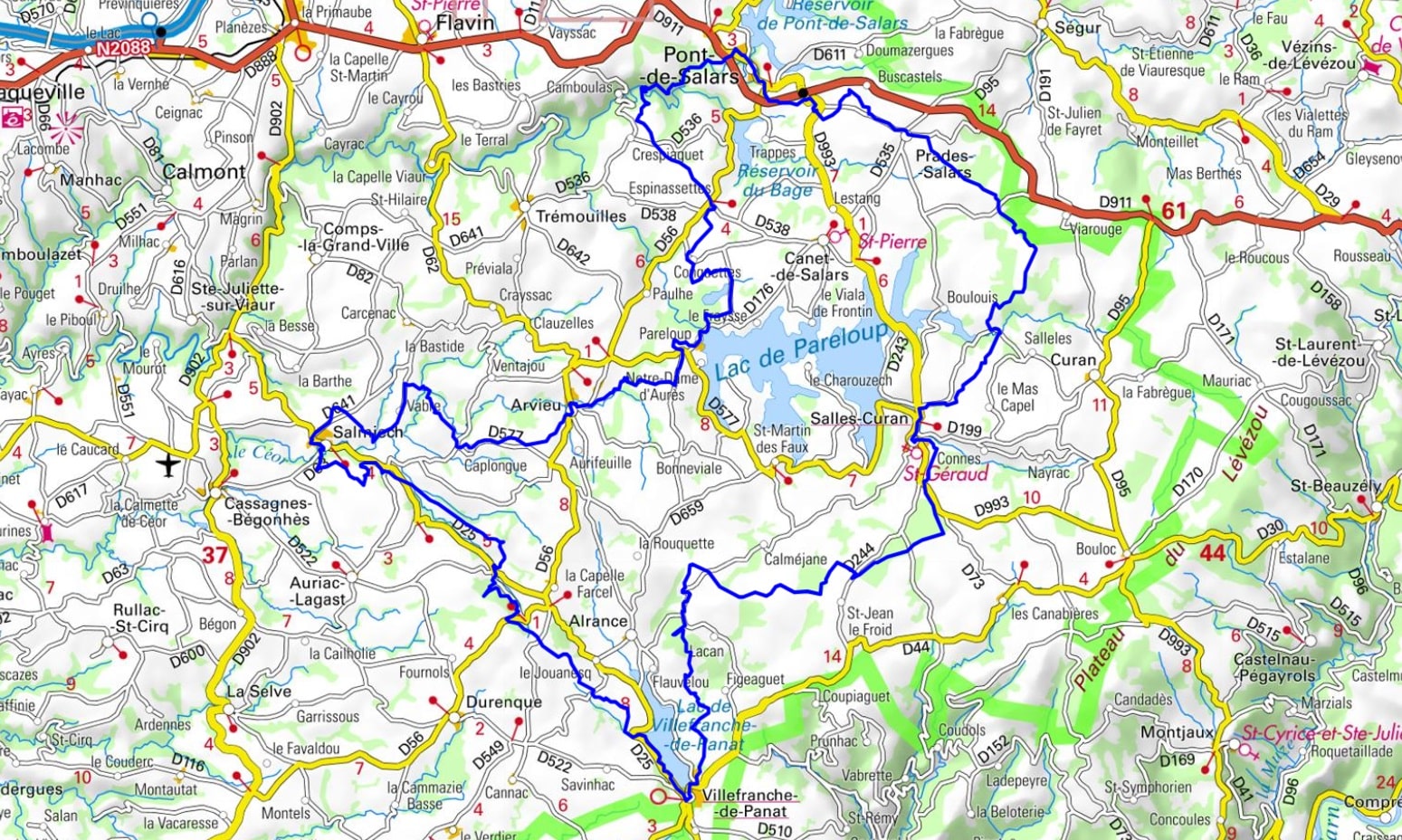
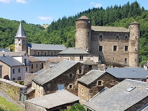
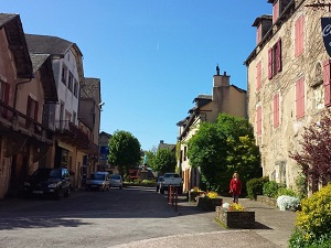
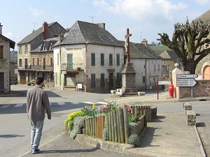
Starting from Pont-de-Salars, a powerful barony of Landorre in medieval times, the trail leads to Prades-Salars and its protected wetlands, a true haven for exceptional bird biodiversity. Reaching Salles-Curan, hikers discover a rich medieval heritage with the collegiate church and the castle of the bishops of Rodez, testaments to the town's past power. The route then skirts the vast Lake Pareloup before descending towards Villefranche-de-Panat and its verdant valley. The return journey takes you through Salmiech, a former seigniorial fiefdom, then Arvieu, a village committed to ecological transition and proud of its rural roots. Between beech forests and high-altitude pastures, the wild nature of the Lévézou plateau is expressed through sweeping views of the Aubrac and Cantal mountains.
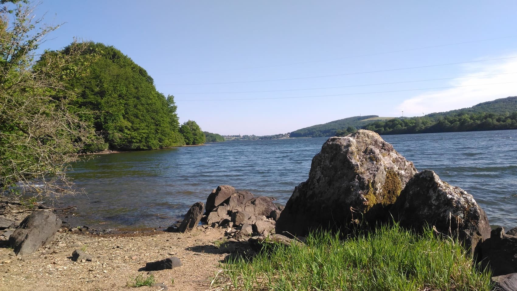
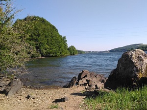
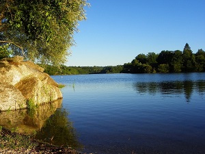
Located in the heart of the Aveyron region, the Lévézou plateau is a transitional land between the granite mountains and the limestone plateaus. Once a territory of transhumance and wild moors, this high plateau was transformed in the mid-20th century with the creation of vast artificial lakes for hydroelectric power. The lakes of Pareloup, Pont-de-Salars, and Villefranche-de-Panat now form a veritable "inland sea" at an altitude of 800 meters, offering unique landscapes where blue water is surrounded by verdant meadows. The local heritage is revealed through charming villages such as Salles-Curan and the medieval town of Castelnau-Pégayrols, whose Romanesque churches and ramparts overlook the Tarn Valley. Nature is bountiful here, sheltering a rich birdlife around the wetlands and beech forests.
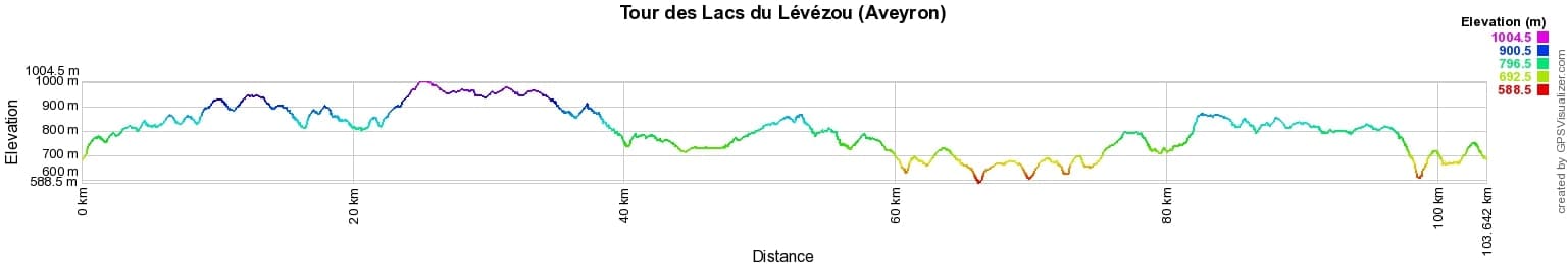
 Distance: 103km, Elevation maximum: 1004m, Elevation minimum: 588m, Elevation gain uphill: 2233m
IGN Maps: 2439SB - RODEZ / LAISSAC. 2440SB - SALLES-CURAN / LAC DE PRALOUP / CASSAGNE / BEGHONES. 2441SB - REQUISTA / VILLEFRANCHE-DE-PANAT.

Nearby paths:
![]() It is advisable to follow the trail markers all along your hike and to bring the FFRandonnée topo-guide. You will also find information on MonGR.fr.
It is advisable to follow the trail markers all along your hike and to bring the FFRandonnée topo-guide. You will also find information on MonGR.fr.
GR®, PR®, GRP® and the corresponding markings are trademarks of the French Federation of Hiking. They may not be reproduced without permission. The French Federation of Hiking, state-approved, includes organizations that maintain hiking routes. It publishes guides for these routes. With your donations, support the actions of the thousands of volunteer markers of the FFRandonnée.
GR-Infos.com is an editorial partner of MonGR.fr.
| Return |

Former holiday hotel with a garden along the Allier, L'Etoile Guest House is located in La Bastide-Puylaurent between Lozere, Ardeche, and the Cevennes in the mountains of Southern France. At the crossroads of GR®7, GR®70 Stevenson Path, GR®72, GR®700 Regordane Way, GR®470 Allier River springs and gorges, GRP® Cevenol, Ardechoise Mountains, Margeride. Numerous loop trails for hiking and one-day biking excursions. Ideal for a relaxing and hiking getaway.
Copyright©gr-infos.com (Authorization for private use only)
To help us maintain and improve GR-Infos.com, a contribution of 2€ is desired via Wero or bank transfer. Thank you!