
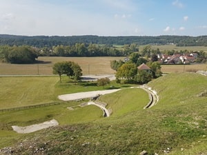
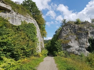
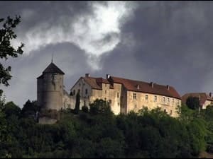
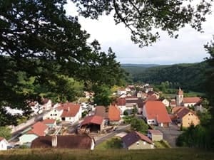
Starting in Mandeure, an ancient Gallo-Roman town with a majestic Roman theater, the trail climbs towards Pont-de-Roide before descending into the Doubs valley to Saint-Hippolyte, a charming town located at the confluence with the Dessoubre River. Between dense forests and limestone plateaus, hikers pass through Belleherbe and Sancey, where the imposing Belvoir Castle, a medieval guardian of the valley, stands guard. Nature here expresses itself through spectacular viewpoints offering sweeping views of the river's meanders and the Jura mountain ridges. The rural heritage, marked by traditional Comtois farmhouses with their distinctive chimneys, bears witness to a robust and authentic mountain culture. Returning via Villars-sous-Écot, the landscape of hedged fields and limestone cliffs underscores the geological richness of this pre-Jura massif.
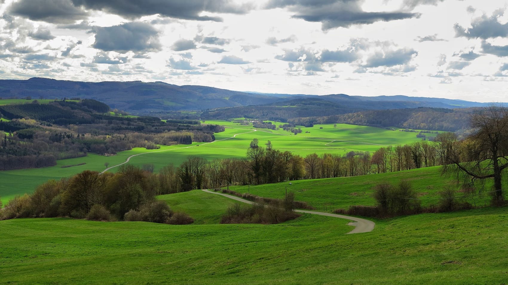
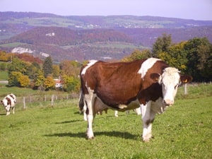
The Lomont Mountains, a massive limestone barrier stretching along the Doubs border, form a natural barrier of over thirty kilometers between the Montbéliard region and the Doubs Valley. This Jura-type landscape, reaching a peak of 835 meters, is a territory of beech and fir forests overlooking the ridges. Historically, the Lomont played a leading strategic role: its commanding position made it a military stronghold as early as the 19th century with the construction of Fort Lomont, a key element of the Séré de Rivières system. This warlike past gave way to a heroic saga during the Second World War, when the Lomont maquis became one of the largest gatherings of the French Resistance in 1944. Nature here is wild and unspoiled, sheltering a discreet fauna where the Eurasian lynx and the capercaillie still find refuge in the steepest recesses. The landscapes are marked by an authentic rurality, punctuated by farms from the Franche-Comté region with imposing smokehouses and high-altitude pastures where Montbéliarde cows graze.
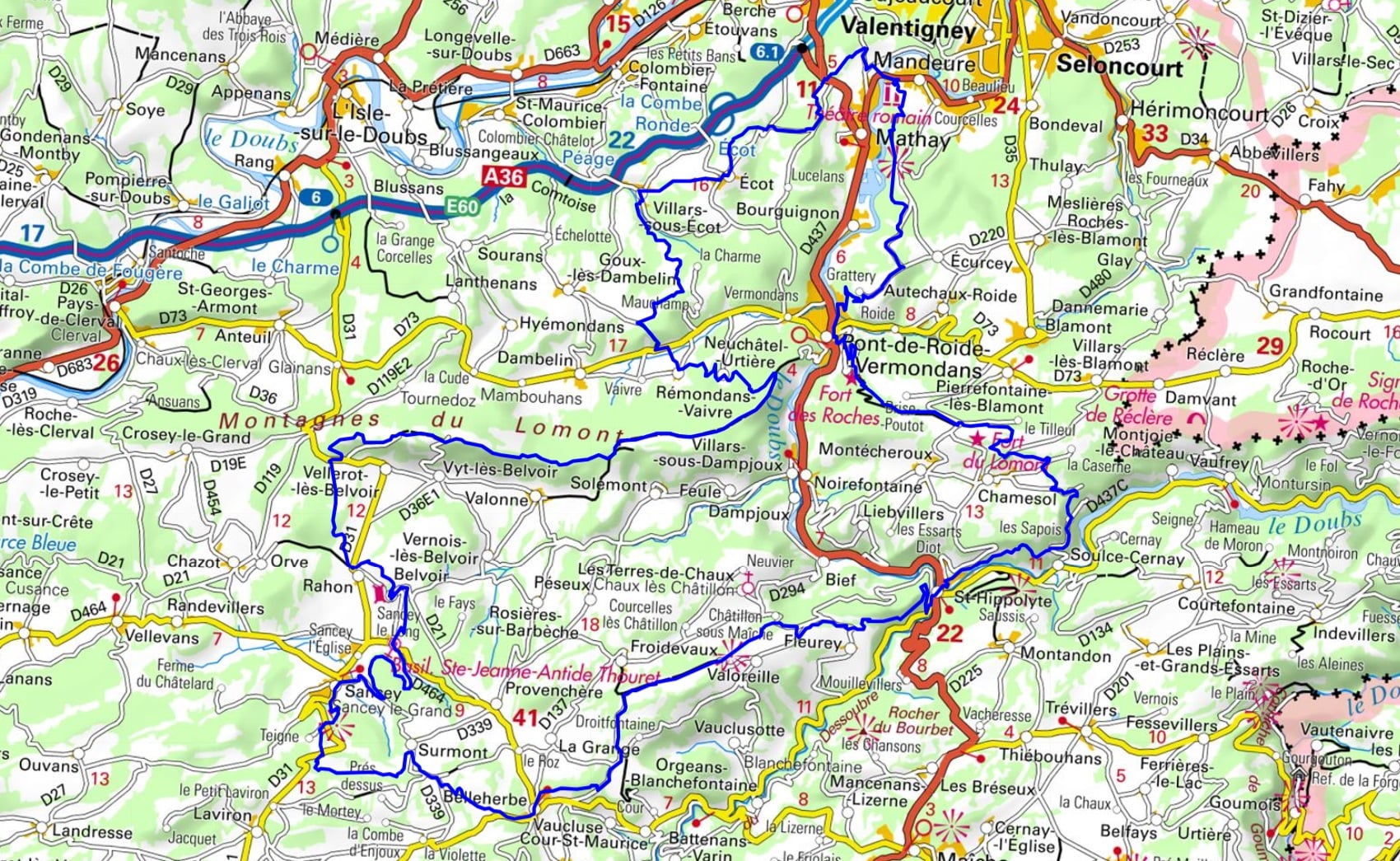

 Distance: 118km, Elevation maximum: 839m, Elevation minimum: 334m, Elevation gain uphill: 3116m
IGN Maps: 3522SB - L'ISLE-SUR-LE-DOUBS VILLERSEXEL. 3523OT - VALLÉE DU DESSOUBRE CIRQUE DE CONSOLATION MONTAGNES DU LOMONT. 3622OT - MONTBÉLIARD VALLÉE DU DOUBS. 3623OT - MAÎCHE GORGES DU DOUBS.

Nearby paths:
![]() It is advisable to follow the beacons all along your hike and to bring the FFRandonnée topo-guide. You will also find information on MonGR.fr.
It is advisable to follow the beacons all along your hike and to bring the FFRandonnée topo-guide. You will also find information on MonGR.fr.
GR®, PR®, GRP® and the corresponding markings are trademarks of the French Federation of Hiking. They may not be reproduced without permission. The French Federation of Hiking, state-approved, includes organizations that maintain hiking routes. It publishes guides for these routes. With your donations, support the actions of the thousands of volunteer markers of the FFRandonnée.
GR-Infos.com is an editorial partner of MonGR.fr.
| Return |

Former holiday hotel with a garden along the Allier, L'Etoile Guest House is located in La Bastide-Puylaurent between Lozere, Ardeche, and the Cevennes in the mountains of Southern France. At the crossroads of GR®7, GR®70 Stevenson Path, GR®72, GR®700 Regordane Way, GR®470 Allier River springs and gorges, GRP® Cevenol, Ardechoise Mountains, Margeride. Numerous loop trails for hiking and one-day biking excursions. Ideal for a relaxing and hiking getaway.
Copyright©gr-infos.com (Authorization for private use only)
To help us maintain and improve GR-Infos.com, a contribution of 2€ is desired via Wero or bank transfer. Thank you!