
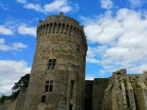
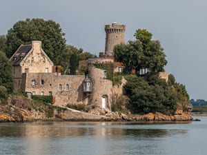
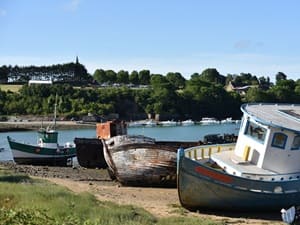
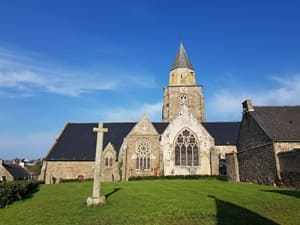
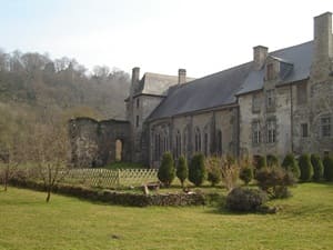
Starting from the medieval city of Dinan, the Rance estuary unfolds a ribbon of nature and history. Following the towpath towards Taden, you brush past Gallo-Roman remains before reaching Saint-Samson-sur-Rance. The trail winds between woods and coves towards Plouër-sur-Rance, a high place of local maritime heritage. In Langrolay and Minihic-sur-Rance, the old shipyards whisper the epic tale of shipwrights. Past La Richardais, the panorama opens onto Dinard and the corsair soul of Saint-Malo. The right bank is approached via Saint-Jouan-des-Guérets, then to the authentic charms of Saint-Suliac. The route heads towards La Ville-ès-Nonais, crossing the bridges that span this inland sea. In Pleudihen-sur-Rance, the Mordreuc mill recalls the ancestral use of tidal energy. The heights of La Vicomté-sur-Rance and finally Lanvallay, offering a perspective on the ramparts of the ducal city.
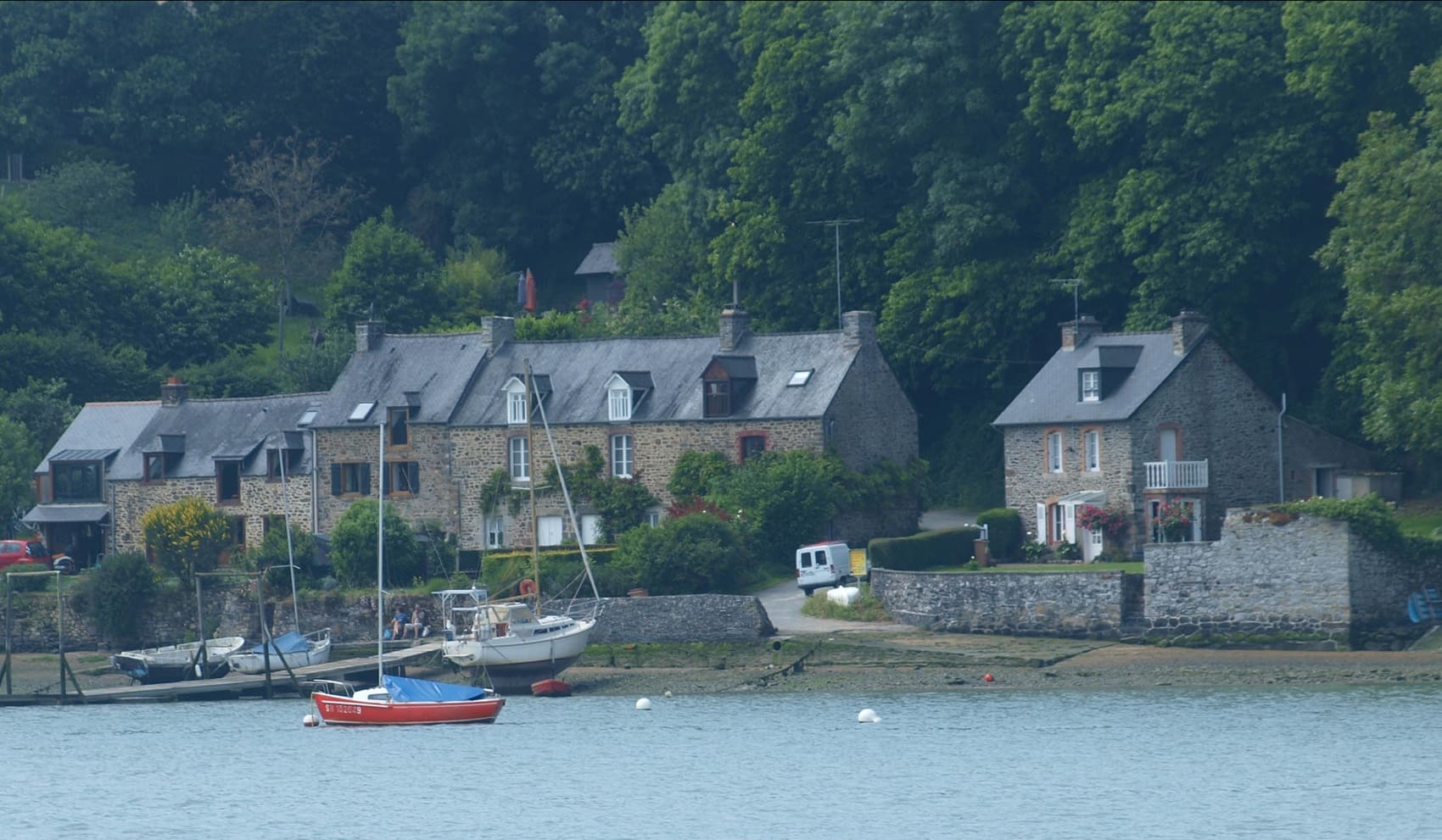
Between Côtes-d'Armor and Ille-et-Vilaine, the Rance River winds with rare elegance. This Breton coastal river, about a hundred kilometers long, is a true treasure. Its history is marked by human ingenuity and the raw power of the tides. In 1966, the Rance tidal power plant revolutionized the production of clean energy. It is a pioneering structure, located between Saint-Malo and Dinard, still as imposing as ever. Heading upstream, the heritage reveals itself along its tranquil waters. The medieval city of Dinan proudly dominates the valley with its ancestral ramparts. The malouinières, mansions of wealthy shipowners, punctuate the green banks. On the nature side, the estuary is a wild sanctuary preserved for local biodiversity. Migratory birds and rare flora flourish in this bucolic setting. The hiking trails offer changing panoramas to the rhythm of the seasons.
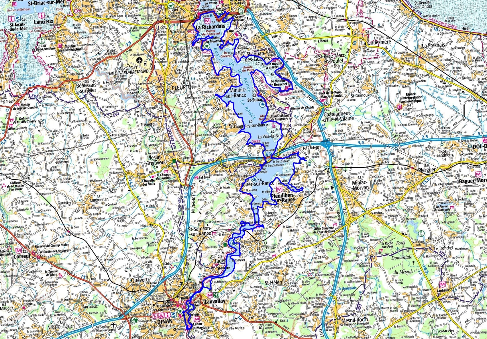
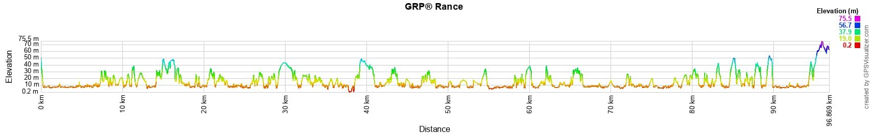
 Distance: 96km, Maximum altitude: 74m, Minimum altitude: 1m, Total ascent: 1077m
Nearby trails:
![]() It is advisable to follow the beacons all along your hike and to bring the FFRandonnée topo-guide. You will also find information on MonGR.fr.
It is advisable to follow the beacons all along your hike and to bring the FFRandonnée topo-guide. You will also find information on MonGR.fr.
GR®, PR®, GRP® and the corresponding markings are trademarks of the French Federation of Hiking. They may not be reproduced without permission. The French Federation of Hiking, state-approved, includes organizations that maintain hiking routes. It publishes guides for these routes. With your donations, support the actions of the thousands of volunteer markers of the FFRandonnée.
GR-Infos.com is an editorial partner of MonGR.fr.
| Return |

Former holiday hotel with a garden along the Allier, L'Etoile Guest House is located in La Bastide-Puylaurent between Lozere, Ardeche, and the Cevennes in the mountains of Southern France. At the crossroads of GR®7, GR®70 Stevenson Path, GR®72, GR®700 Regordane Way, GR®470 Allier River springs and gorges, GRP® Cevenol, Ardechoise Mountains, Margeride. Numerous loop trails for hiking and one-day biking excursions. Ideal for a relaxing and hiking getaway.
Copyright©gr-infos.com (Authorization for private use only)
To help us maintain and improve GR-Infos.com, a contribution of 2€ is desired via Wero or bank transfer. Thank you!