
|
|
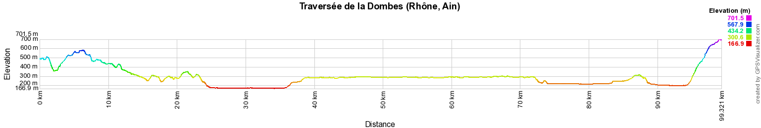
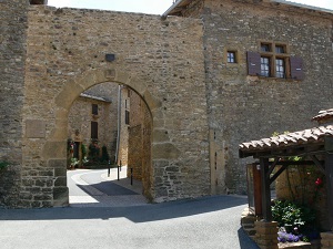
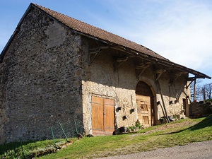
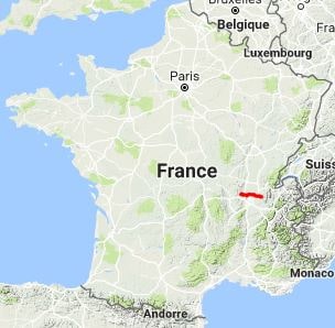
Hike in Rhone and Ain department from Sainte-Paule to Fay Pass through Dombes, natural and historical region, via Val d'Oingt, Theize, Ville-sur-Jarnioux, Porte des Pierres Dorees, Anse, Saint-Bernard, Trevoux, Parcieux, Saint-Jean-de-Thurigneux, Monthieux, Saint-Marcel, Le Montellier, Perouges, Meximieux, Chazey-sur-Ain, Lagnieu and Saint-Sorlin-en-Bugey. Guest House, Bed and Breakfast, Hotel, Camping, Shelter, Inn. |

99km
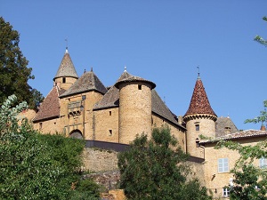
La Dombes is one of the countries of the French department of Ain in the Auvergne-Rhone-Alpes region. A natural and historical region, it consists of a plateau of morainic origin dotted with ponds. The region is close to two other large natural regions, Bresse and Bugey.

|

 © GPX Private use only |
Distance: 99km, Elevation maximum: 709m, Elevation minimum: 166m, Elevation gain uphill: 1320m
IGN Maps: Villefranche-sur-Saone
Vallee de l'Azergues Beaujolais (2930ET). Villars-les-Dombes (3030E). Villefranche-sur-Saone (3030O). Amberieu-en-Bugey (3130E). Meximieux (3130O). Amberieu-en-Bugey Champagne-en-Valromey massif du
Bugey (3231OT).
Registration Accommodation or business owner on or near a GR®, you can appear on GR-INFOS For your registration, you can send me by email (papadimitriou4@gmail.com): your address and phone number, your website (Facebook page), a brief description with 5 beautiful photos of your establishment. Registration price : 50€/2 years or 100€/5 years per GR® or GRP®. Renewable. |
|
Nearby paths:
Tour of the Lyonnais Mountains (Rhone-Loire)
GR®59 From Vosges to Jura
GR®76 From Chagny (Saone-et-Loire) to Affoux (Rhone)
GR®169 Around Lyon (Rhone)
GR®422 On the path of Charles IX
![]() It is advisable to follow the beacons all along your hike and to bring you the FFRandonnee topo-guide. You
will also find information on MonGR.fr.
It is advisable to follow the beacons all along your hike and to bring you the FFRandonnee topo-guide. You
will also find information on MonGR.fr.
GR®, PR®, GRP®, and the corresponding signs of markings (white / red, yellow and yellow / red) are trademarks of the French Federation of Hiking. They may not be reproduced without permission. The French Federation of Hiking, state-approved, includes organizations that create and maintain hiking routes on GR®, PR® and GRP®. It publishes guides these topo hiking routes.
With your donations, support the actions of the thousands of volunteer markers of the FFRandonnee.
GR-Infos.com is an editorial partner of MonGR.fr.

| Return |

Former holiday hotel with a garden along the Allier, L'Etoile Guest House is located in La Bastide-Puylaurent between Lozere, Ardeche, and the Cevennes in the mountains of Southern France. At the crossroads of GR®7, GR®70 Stevenson Path, GR®72, GR®700 Regordane Way, GR®470 Allier River springs and gorges, GRP® Cevenol, Ardechoise Mountains, Margeride. Numerous loop trails for hiking and one-day biking excursions. Ideal for a relaxing and hiking getaway.
Copyright©gr-infos.com (Authorization for private use only)