
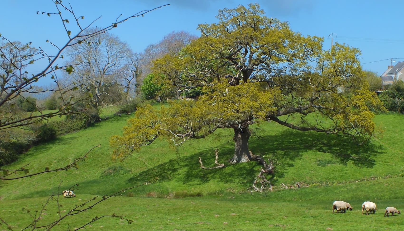
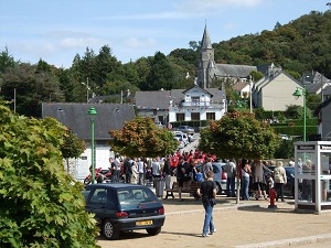
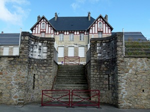
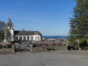
A spectacular variation of the Sentier des Douaniers (Customs Officers' Path), this trail offers unique panoramic views of Cherbourg Harbor, the largest artificial harbor in the world. Starting at Douet-Piquot in Digosville, the route climbs to overlook the city and the Cotentin coastline before descending toward Querqueville. Historically, this path reflects the region's strategic military importance, providing breathtaking views of the maritime forts and defensive structures built between the 18th and 19th centuries to protect the French coast. Hikers traverse a mosaic of wild heathlands, small woodlands, and hedged plateaus, offering a striking contrast to the bustling port activity below. Nature remains pristine here, featuring flora typical of sea-sprayed coastal ridges and diverse fauna nesting in the woodlands surrounding the maritime city.

 Distance: 30.89km, Elevation maximum: 174m, Elevation minimum: 6m, Elevation gain uphill: 456m
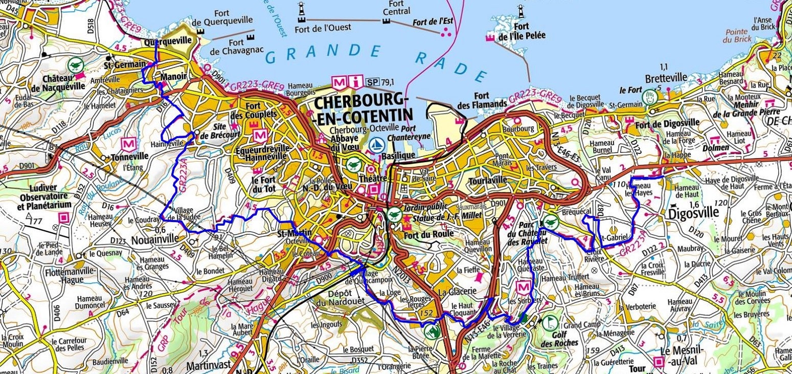
IGN Maps: 1210OT - CHERBOURG-EN-COTENTIN / CAP DE LA HAGUE. 1310OT - CHERBOURG-EN-COTENTIN / POINTE DE BARFLEUR.
Nearby paths:
![]() It is advisable to follow the beacons throughout your hike and to bring the FFRandonnée topo-guide. You will also find information on MonGR.fr.
It is advisable to follow the beacons throughout your hike and to bring the FFRandonnée topo-guide. You will also find information on MonGR.fr.
GR®, PR®, GRP®, and the corresponding signs of markings (white / red, yellow and yellow / red) are trademarks of the French Federation of Hiking. They may not be reproduced without permission. The French Federation of Hiking, state-approved, includes organizations that create and maintain hiking routes on GR®, PR® and GRP®. It publishes guides for these topo hiking routes. With your donations, you support the actions of the thousands of FFRandonnée volunteer markers.
GR-Infos.com is an editorial partner of MonGR.fr.
| Return |

Former holiday hotel with a garden along the Allier, L'Etoile Guest House is located in La Bastide-Puylaurent between Lozere, Ardeche, and the Cevennes in the mountains of Southern France. At the crossroads of GR®7, GR®70 Stevenson Path, GR®72, GR®700 Regordane Way, GR®470 Allier River springs and gorges, GRP® Cevenol, Ardechoise Mountains, Margeride. Numerous loop trails for hiking and one-day biking excursions. Ideal for a relaxing and hiking getaway.
Copyright©gr-infos.com (Authorization for private use only)
To help us maintain and improve GR-Infos.com, a contribution of 2€ is desired via Wero or bank transfer. Thank you!