
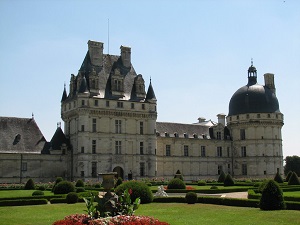
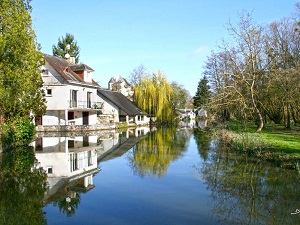
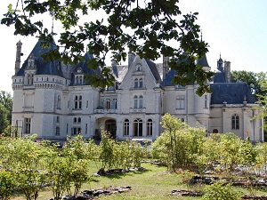
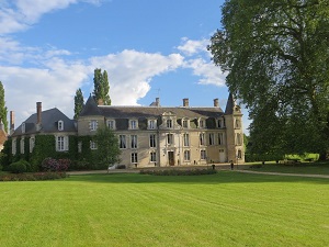
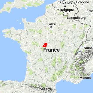
Starting in Valençay, with its Renaissance château built by Talleyrand, in the heart of northern Boischaut, the trail winds through hedged farmland and forests towards Veuil, before reaching Bouges-le-Château and its small Berry "Trianon." In Levroux, the medieval heritage is revealed with its collegiate church and former tanneries, while Villegongis surprises with its brick and stone architecture. The route then crosses the spiritual lands of Pellevoisin and the verdant valleys of the Indre River towards Châtillon-sur-Indre, dominated by its 12th-century Plantagenet keep. Nature becomes wilder between Écueillé and Villentrois, where orchards and vineyards color the hillsides of the Cher Valley via Lye and Chabris along the banks of the Cher River. The route then heads back up towards the Sologne berrichonne at Dun-le-Poëlier and Bagneux, before ending in the botanical splendor of the Poulaines estate.
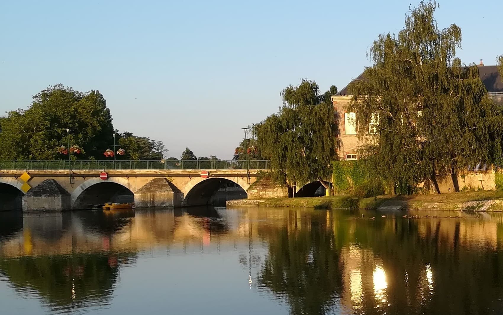
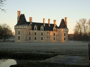
The Valençay region is a land of water and forests located at the border of the Indre and Loir-et-Cher departments, marking the transition between the Sologne and Berry regions. The landscape is characterized by a mix of hedgerows, dense forests, and wet meadows, crisscrossed by peaceful streams. The region's history is dominated by the presence of the famous Château de Valençay, the residence and seat of influence of Talleyrand, and witness to the exile of the Prince of Spain. This rich history is complemented by a gastronomic tradition, notably that of Valençay cheese. The flora is typical of woodland and wetland areas, with a strong presence of oak and birch trees. The fauna is abundant, including numerous bird species and game, reflecting the region's long history of hunting.
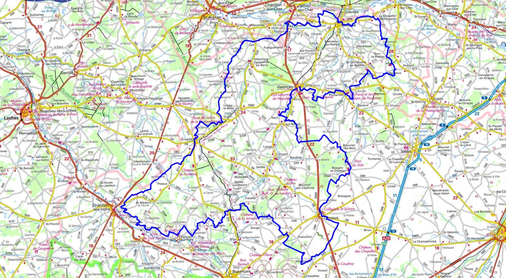
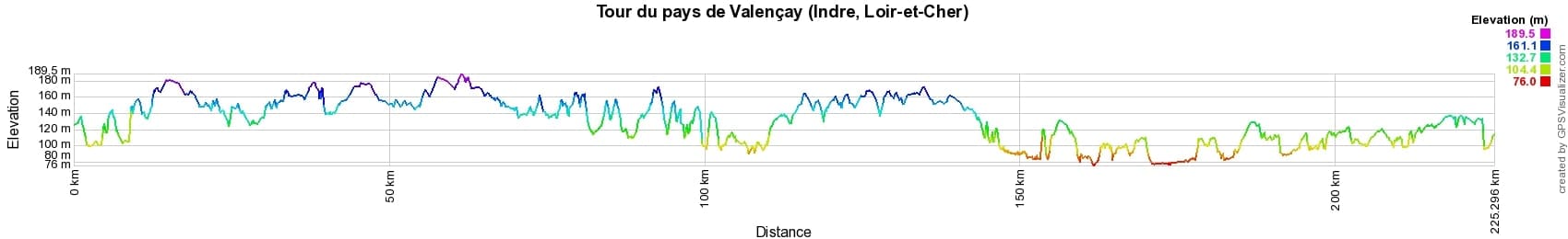
 Distance: 227km, Maximum elevation: 181m, Minimum elevation: 76m, Total ascent: 1649m
IGN Maps: Chatillon-sur-Indre (2024O). Buzancais (2025E). Poulaines (2124E). Lucay-le-Male (2124O). Levroux Villedieu-sur-Indre (2125O). St-Aignan (2023E). Ecueille (2024E). Chabris (2123E). Selles-sur-Cher (2123O).
Nearby paths:
![]() It is advisable to follow the beacons all along your hike and to bring the FFRandonnée topo-guide. You will also find information on MonGR.fr.
It is advisable to follow the beacons all along your hike and to bring the FFRandonnée topo-guide. You will also find information on MonGR.fr.
GR®, PR®, GRP® and the corresponding markings are trademarks of the French Federation of Hiking. They may not be reproduced without permission. The French Federation of Hiking, state-approved, includes organizations that maintain hiking routes. It publishes guides for these routes. With your donations, support the actions of the thousands of volunteer markers of the FFRandonnée.
GR-Infos.com is an editorial partner of MonGR.fr.
| Return |

Former holiday hotel with a garden along the Allier, L'Etoile Guest House is located in La Bastide-Puylaurent between Lozere, Ardeche, and the Cevennes in the mountains of Southern France. At the crossroads of GR®7, GR®70 Stevenson Path, GR®72, GR®700 Regordane Way, GR®470 Allier River springs and gorges, GRP® Cevenol, Ardechoise Mountains, Margeride. Numerous loop trails for hiking and one-day biking excursions. Ideal for a relaxing and hiking getaway.
Copyright©gr-infos.com (Authorization for private use only)
To help us maintain and improve GR-Infos.com, a contribution of 2€ is desired via Wero or bank transfer. Thank you!