
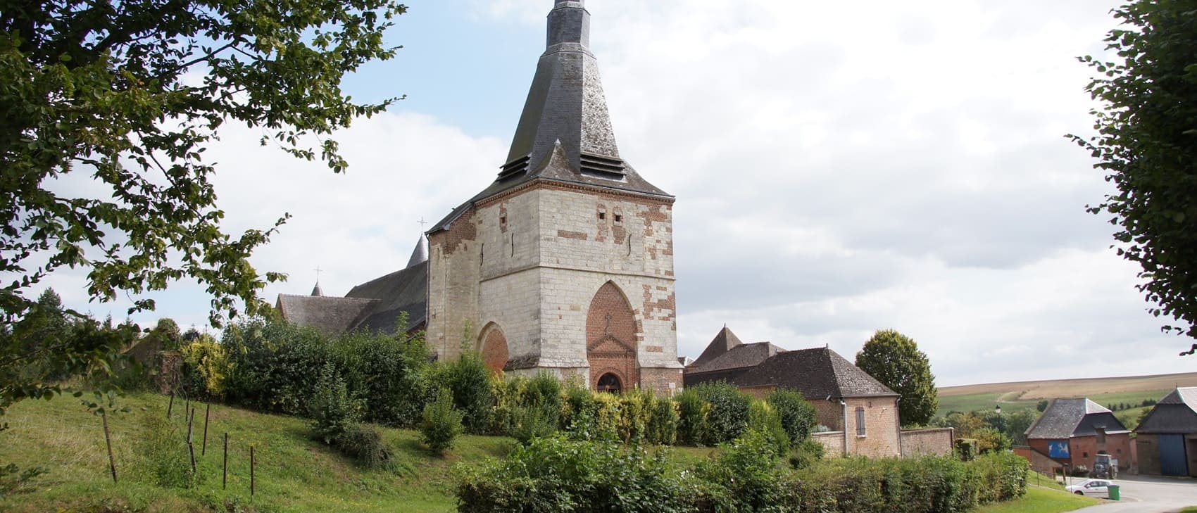
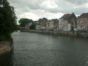
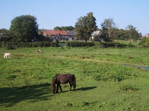
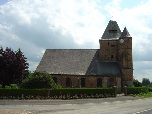
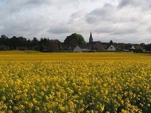
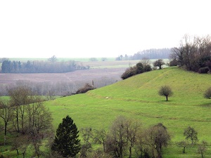
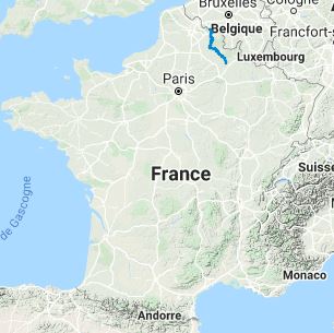
The GR®122, stretching over 223 km, begins in Bon-Secours, a charming Belgian locality situated at the French border, surrounded by dense forests and gentle hills. As the trail enters France, it traverses the Nord department, rich in industrial heritage and nature, particularly the vast Mormal Forest, where wildlife and plant life thrive. The path continues into the Aisne department, offering varied landscapes ranging from fertile plains to wooded hills. Finally, the trail enters the Ardennes, characterized by its wild landscapes, dense forests, deep valleys, and winding rivers. The Ardennes villages, with their stone houses and ancient churches, provide an authentic glimpse into traditional rural life.
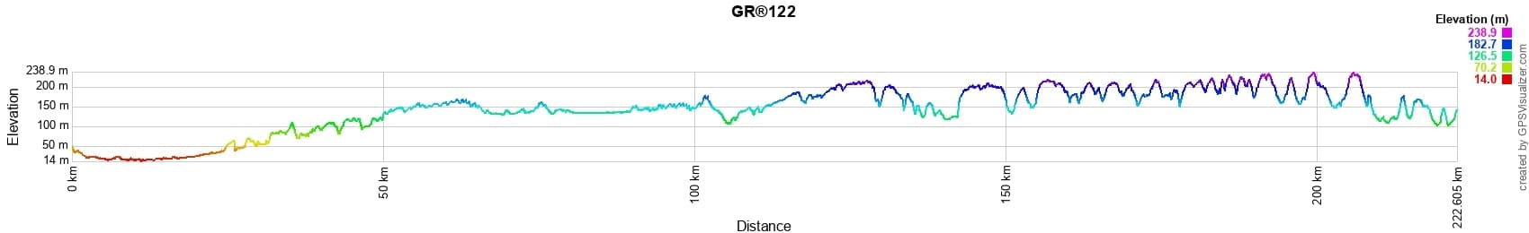
 Distance: 223km, Elevation maximum: 234m, Elevation minimum: 14m, Elevation gain uphill: 1834m
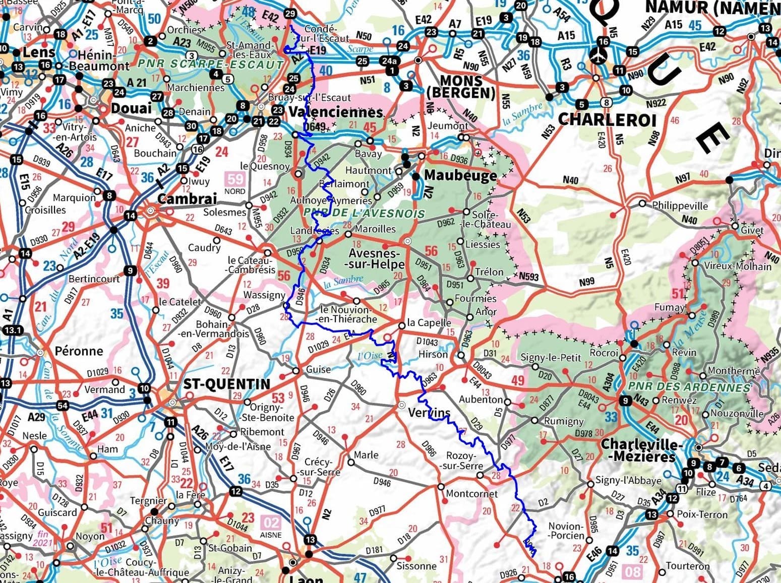
IGN Maps: Bon-Secours (2605E). Foret de Mormal (2706OT). Landrecies (2707O). Guise (2708O).
Nearby paths:
![]() It is advisable to follow the beacons all along your hike and to bring the FFRandonnée topo-guide. You will also find information on MonGR.fr.
It is advisable to follow the beacons all along your hike and to bring the FFRandonnée topo-guide. You will also find information on MonGR.fr.
GR®, PR®, GRP®, and the corresponding signs of markings (white/red, yellow and yellow/red) are trademarks of the French Federation of Hiking. They may not be reproduced without permission. The French Federation of Hiking, state-approved, includes organizations that create and maintain hiking routes on GR®, PR® and GRP®. It publishes topo-guides for these hiking routes. With your donations, support the actions of the thousands of volunteer markers of the FFRandonnée.
GR-Infos.com is an editorial partner of MonGR.fr.
| Return |

Former holiday hotel with a garden along the Allier, L'Etoile Guest House is located in La Bastide-Puylaurent between Lozere, Ardeche, and the Cevennes in the mountains of Southern France. At the crossroads of GR®7, GR®70 Stevenson Path, GR®72, GR®700 Regordane Way, GR®470 Allier River springs and gorges, GRP® Cevenol, Ardechoise Mountains, Margeride. Numerous loop trails for hiking and one-day biking excursions. Ideal for a relaxing and hiking getaway.
Copyright©gr-infos.com (Authorization for private use only)
To help us maintain and improve GR-Infos.com, a contribution of 2€ is desired via Wero or bank transfer. Thank you!