
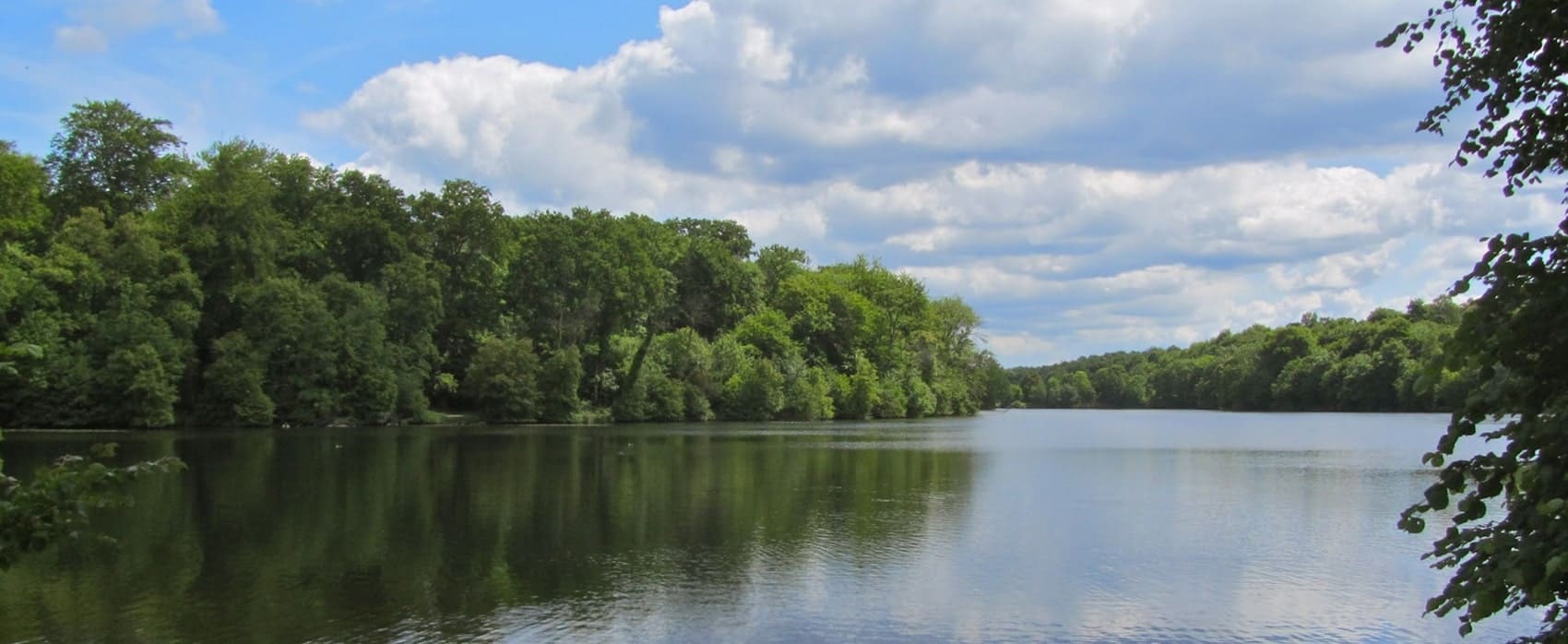
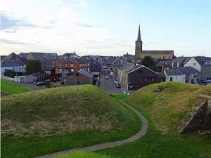
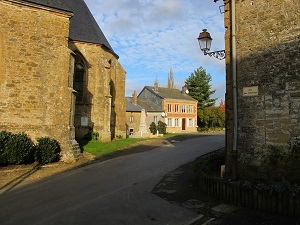
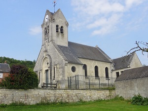
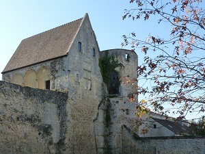
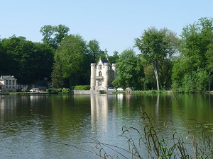
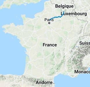
The GR®12, in its section from Gué-d'Hossus in the Ardennes to the Commelles ponds in the Oise department, is a major long-distance hiking trail that crosses northern France, linking Belgium to the Île-de-France region. The landscape evolves from the vast Ardennes forests to the limestone plateaux and elegant state-owned forests of the Oise. Historically, the trail crosses strategic areas marked by fortifications (Thiérache) and former royal hunting grounds (Compiègne, Chantilly). The flora encountered is initially that of the dense, humid forest (Ardennes), then that of deciduous and pine woodlands, with limestone grasslands on the hillsides. The fauna is particularly rich in the large wooded areas, sheltering red deer, roe deer, wild boar and a diverse birdlife around the Commelles ponds, offering a well-preserved natural environment.
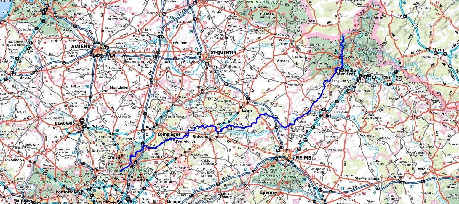
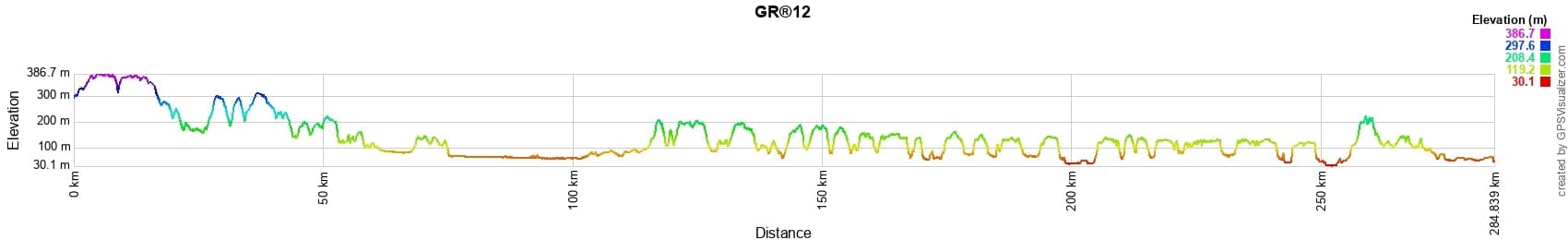
 Distance: 284km, Elevation maximum: 387m, Elevation minimum: 30m, Elevation gain uphill: 3576m
Nearby paths:
![]() It is advisable to follow the beacons all along your hike and to bring the FFRandonnée topo-guide. You will also find information on MonGR.fr.
It is advisable to follow the beacons all along your hike and to bring the FFRandonnée topo-guide. You will also find information on MonGR.fr.
GR®, PR®, GRP®, and the corresponding signs of markings (white/red, yellow and yellow/red) are trademarks of the French Federation of Hiking. They may not be reproduced without permission. The French Federation of Hiking, state-approved, includes organizations that create and maintain hiking routes on GR®, PR® and GRP®. It publishes topo-guides for these hiking routes. With your donations, support the actions of the thousands of volunteer markers of the FFRandonnée.
GR-Infos.com is an editorial partner of MonGR.fr.
| Return |

Former holiday hotel with a garden along the Allier, L'Etoile Guest House is located in La Bastide-Puylaurent between Lozere, Ardeche, and the Cevennes in the mountains of Southern France. At the crossroads of GR®7, GR®70 Stevenson Path, GR®72, GR®700 Regordane Way, GR®470 Allier River springs and gorges, GRP® Cevenol, Ardechoise Mountains, Margeride. Numerous loop trails for hiking and one-day biking excursions. Ideal for a relaxing and hiking getaway.
Copyright©gr-infos.com (Authorization for private use only)
To help us maintain and improve GR-Infos.com, a contribution of 2€ is desired via Wero or bank transfer. Thank you!