|
Hike on the GR®223 Normandy coast through Manche department from Port-Bail-sur-Mer to Granville viaSurville, Saint-Germain-sur-Ay, Lessay, Creances, Blainville-sur-Mer, Agon-Coutainville, Tourville-sur-Sienne, Heugueville-sur-Sienne, Regneville-sur-Mer, Hauteville-sur-Mer, Bricqueville-sur-Mer, Coudeville-sur-Mer, Breville-sur-Mer and Donville-les-Bains. Guest House, Bed and Breakfast, Hotel, Camping, Shelter, Inn, Shops.
|

|

GR®223
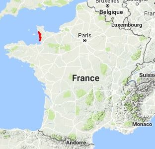
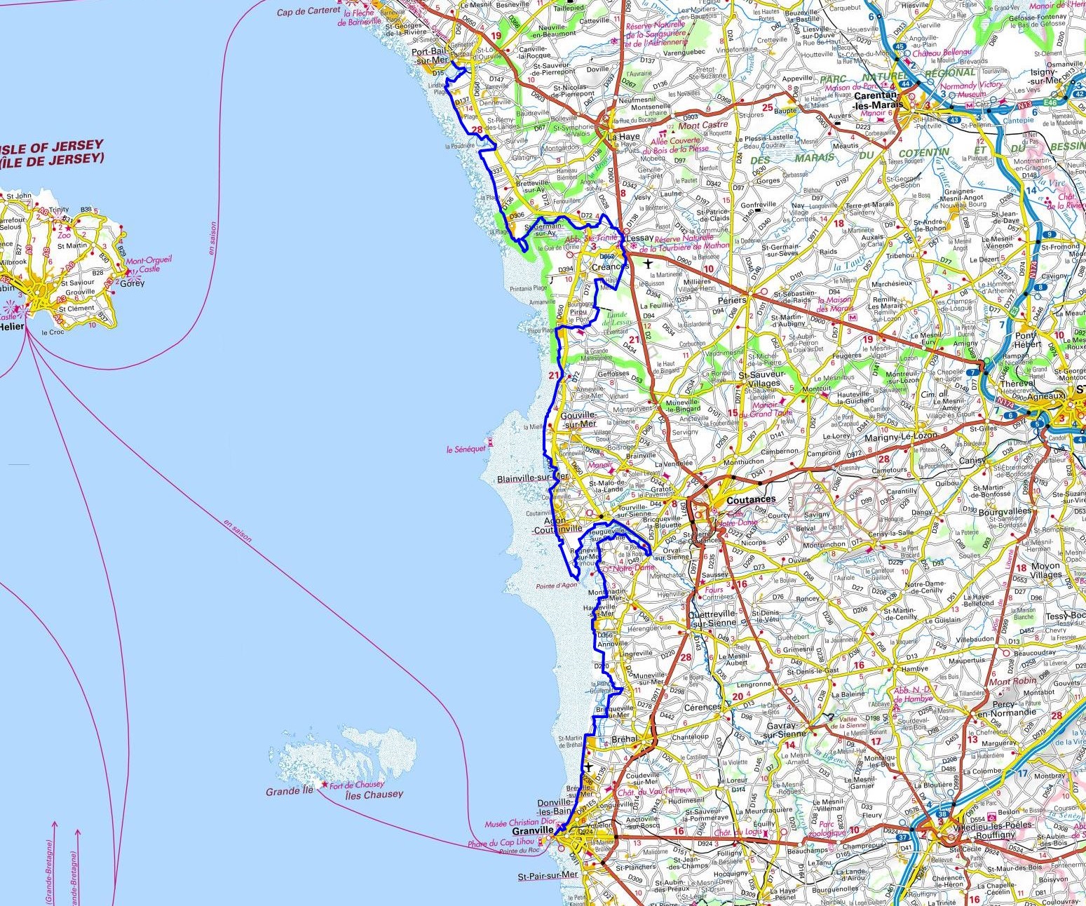
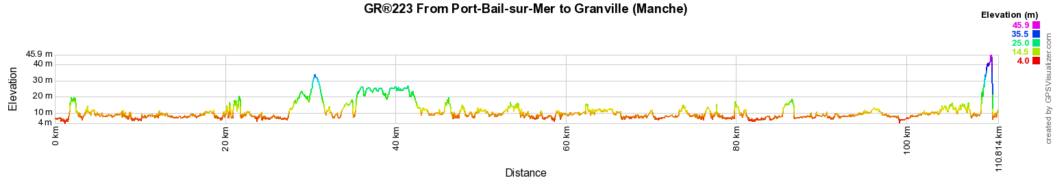
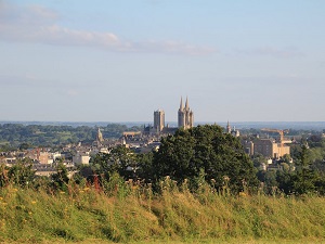
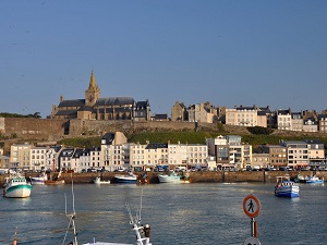
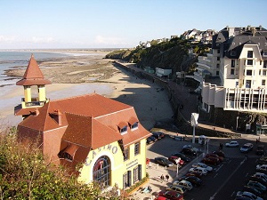
From Port-Bail-sur-Mer to Granville (Manche)
Normandy coast
110Km
Google Maps - Google Earth

© GPX Private use only |
Distance: 110km, Elevation maximum: 45m, Elevation minimum: 0m, Elevation gain uphill: 172m
IGN Maps: Les Pieux Barneville-Carteret (1211OT). La Haye-du-Puits Lessay (1212ET).
Granville Coutances iles Chausey (1214ET). Avranches Granville le Mont-St-Michel (1215ET).
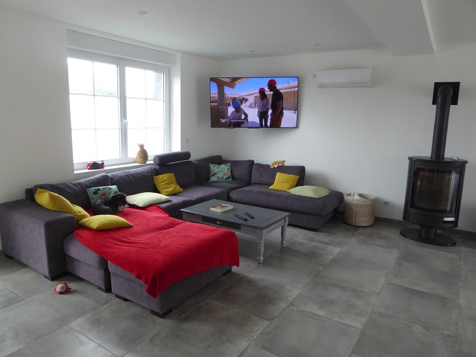
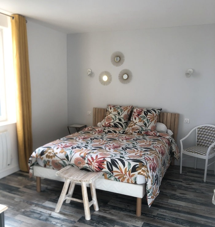
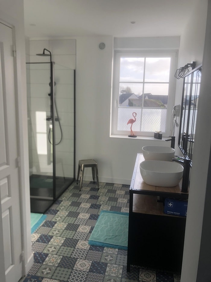
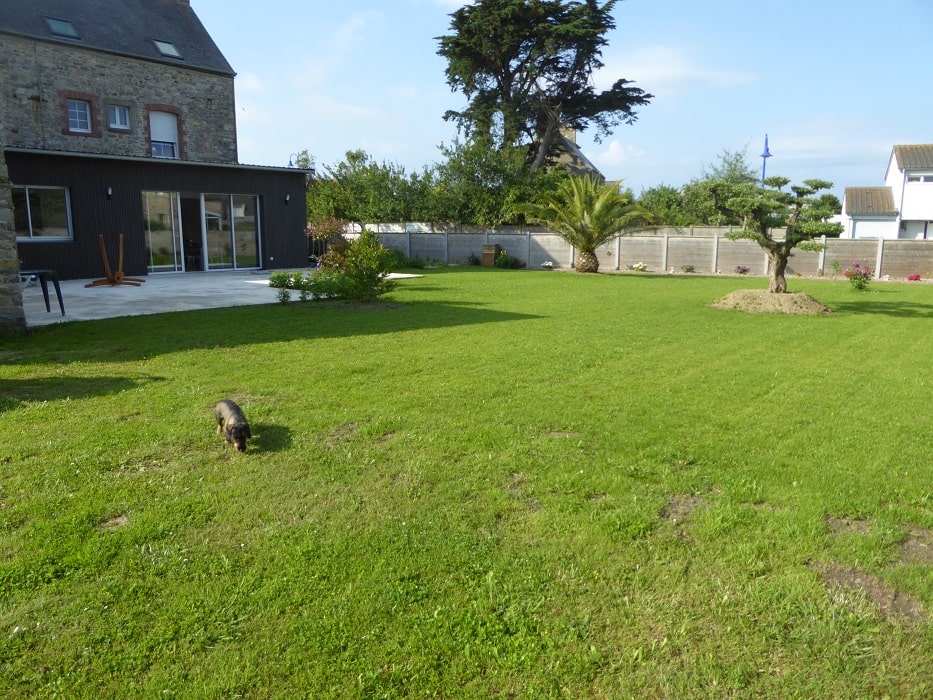
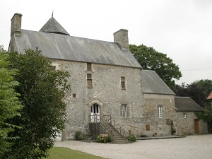
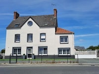
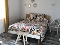
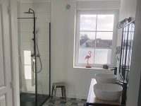
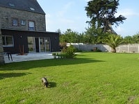
Port-Bail-sur-Mer: La Bascule Bed and Breakfast, M. Moutiez Castel Christiane, 06 64 55 50 32, Email
I will be delighted to welcome you to this building with 2 bedrooms upstairs and 1 disabled bedroom on the ground floor, each equipped with quality bedding, as well as all the necessary comforts (private bathroom, television, Wi-Fi). Living room where breakfasts are served, is available to you. |
|

Registration
Accommodation or business owner on or near a GR®, you can appear on GR-INFOS
For your registration, you can send me by email (papadimitriou4@gmail.com): your address and phone number, your website (Facebook page), a brief description with 5 beautiful photos of your establishment.
Registration price : 25€/year or 100€/5 years per GR® or GRP®. Renewable. |
GR®223 Normandy coast
From Honfleur to Ver-sur-Mer (Calvados)
From Ver-sur-Mer (Calvados) to Carentan (Manche)
From Carentan to Cherbourg (Manche)
From Cherbourg to Port-Bail-sur-Mer (Manche)
From Port-Bail-sur-Mer to Granville (Manche)
From Granville to Le Mont-Saint-Michel (Manche)
GR®223A Cherbourg Balconies
GR®223B Coutances Variant
 It is advisable to follow the beacons all along your hike and to bring you the FFRandonnee topo-guide. You
will also find information on MonGR.fr.
It is advisable to follow the beacons all along your hike and to bring you the FFRandonnee topo-guide. You
will also find information on MonGR.fr.
GR®, PR®, GRP®, and the corresponding signs of markings (white / red, yellow and yellow / red) are trademarks of the French
Federation of Hiking. They may not be reproduced without permission. The French Federation of Hiking, state-approved, includes organizations that create and maintain hiking routes on GR®, PR® and GRP®. It publishes guides these topo hiking routes. With your donations, support the actions of the thousands of volunteer markers of the FFRandonnee.
GR-Infos.com is an editorial partner of MonGR.fr.


Old romantic Hotel, L'Etoile Guest-House is a mountain retreat in the South of France. With a
beautiful park along the Allier River, L'Etoile Guesthouse is located in La Bastide-Puylaurent between Lozere, Ardeche and Cevennes. Many hiking trails like
GR®7, GR®70 Stevenson trail, GR®72, GR®700 Regordane way, Cevenol, GR®470 Allier river,
Margeride, Ardechoise. Many hiking loops. The right place to relax.
Copyright©gr-infos.com (Authorization for private use only)