
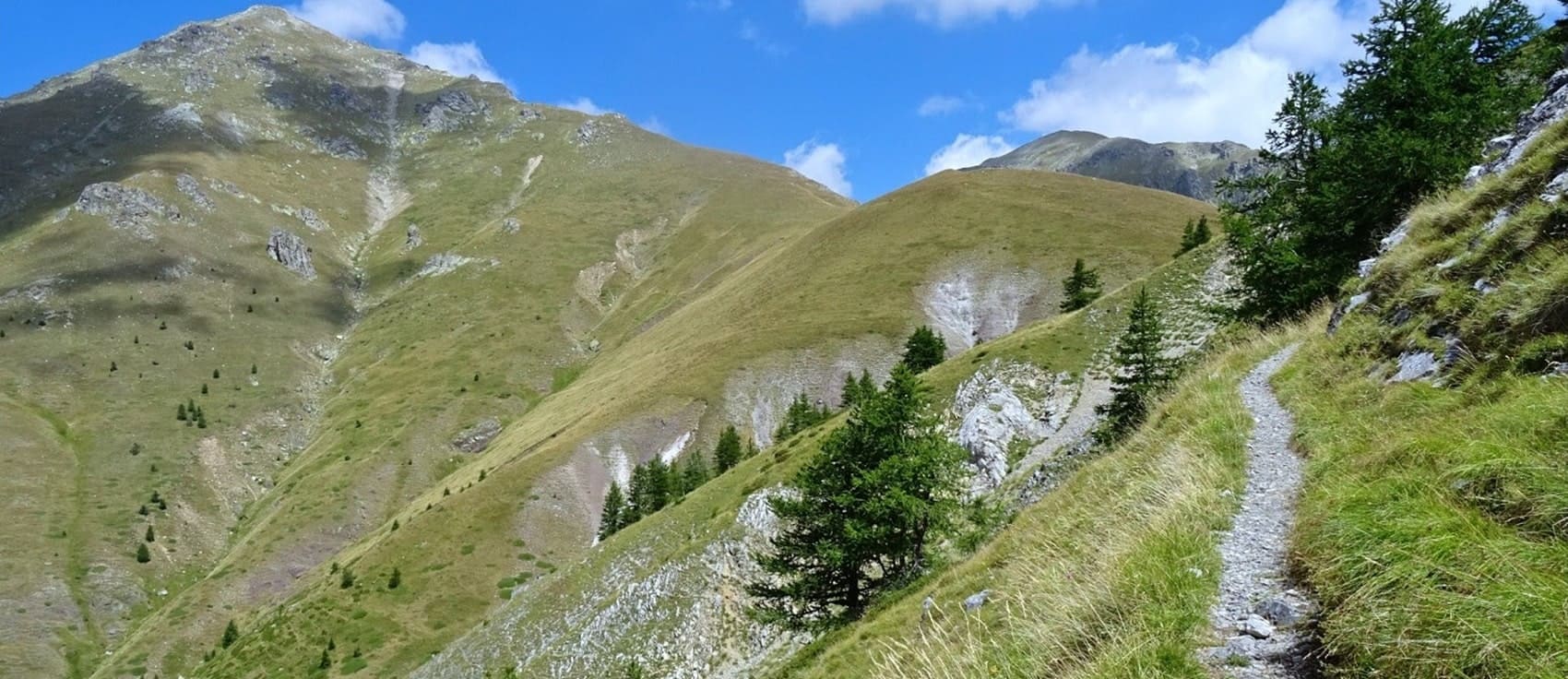
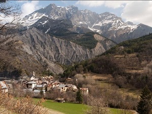
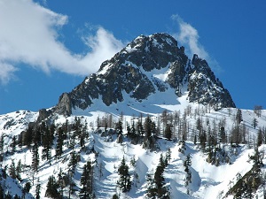
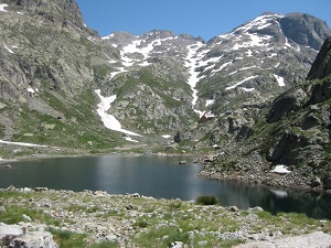
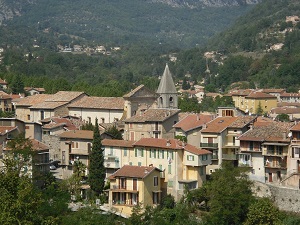
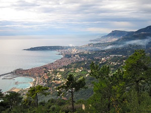
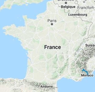
The GR®52 long-distance hiking trail crosses the Mercantour National Park, offering contrasting landscapes from granite peaks to coastal olive groves. The area boasts a rich heritage, notably the rock engravings of the Vallée des Merveilles (Valley of Wonders), true testaments to the Bronze Age. As for wildlife, hikers often encounter chamois, ibex and bearded vultures. The flora adapts to the altitude, ranging from sub-Alpine meadows filled with gentians and arnicas to the Mediterranean garrigue near Menton, making this trail one of the most botanically diverse in France.
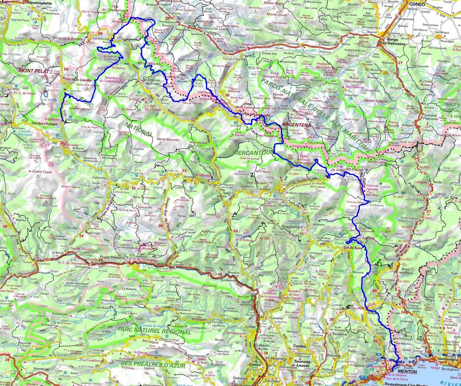
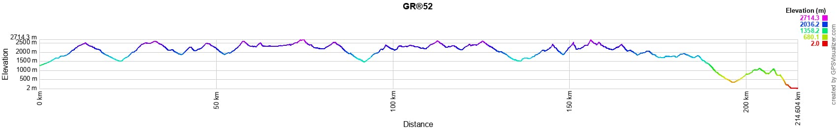
 Distance: 214km, Elevation maximum: 2714m, Elevation minimum: 2m, Elevation gain uphill: 12571m
Nearby paths:
![]() It is advisable to follow the beacons all along your hike and to bring the FFRandonnée topo-guide. You will also find information on MonGR.fr.
It is advisable to follow the beacons all along your hike and to bring the FFRandonnée topo-guide. You will also find information on MonGR.fr.
GR®, PR®, GRP®, and the corresponding signs of markings (white/red, yellow and yellow/red) are trademarks of the French Federation of Hiking. They may not be reproduced without permission. The French Federation of Hiking, state-approved, includes organizations that create and maintain hiking routes on GR®, PR® and GRP®. It publishes topo-guides for these hiking routes. With your donations, support the actions of the thousands of volunteer markers of the FFRandonnée.
GR-Infos.com is an editorial partner of MonGR.fr.
| Return |

Former holiday hotel with a garden along the Allier, L'Etoile Guest House is located in La Bastide-Puylaurent between Lozere, Ardeche, and the Cevennes in the mountains of Southern France. At the crossroads of GR®7, GR®70 Stevenson Path, GR®72, GR®700 Regordane Way, GR®470 Allier River springs and gorges, GRP® Cevenol, Ardechoise Mountains, Margeride. Numerous loop trails for hiking and one-day biking excursions. Ideal for a relaxing and hiking getaway.
Copyright©gr-infos.com (Authorization for private use only)
To help us maintain and improve GR-Infos.com, a contribution of 2€ is desired via Wero or bank transfer. Thank you!