
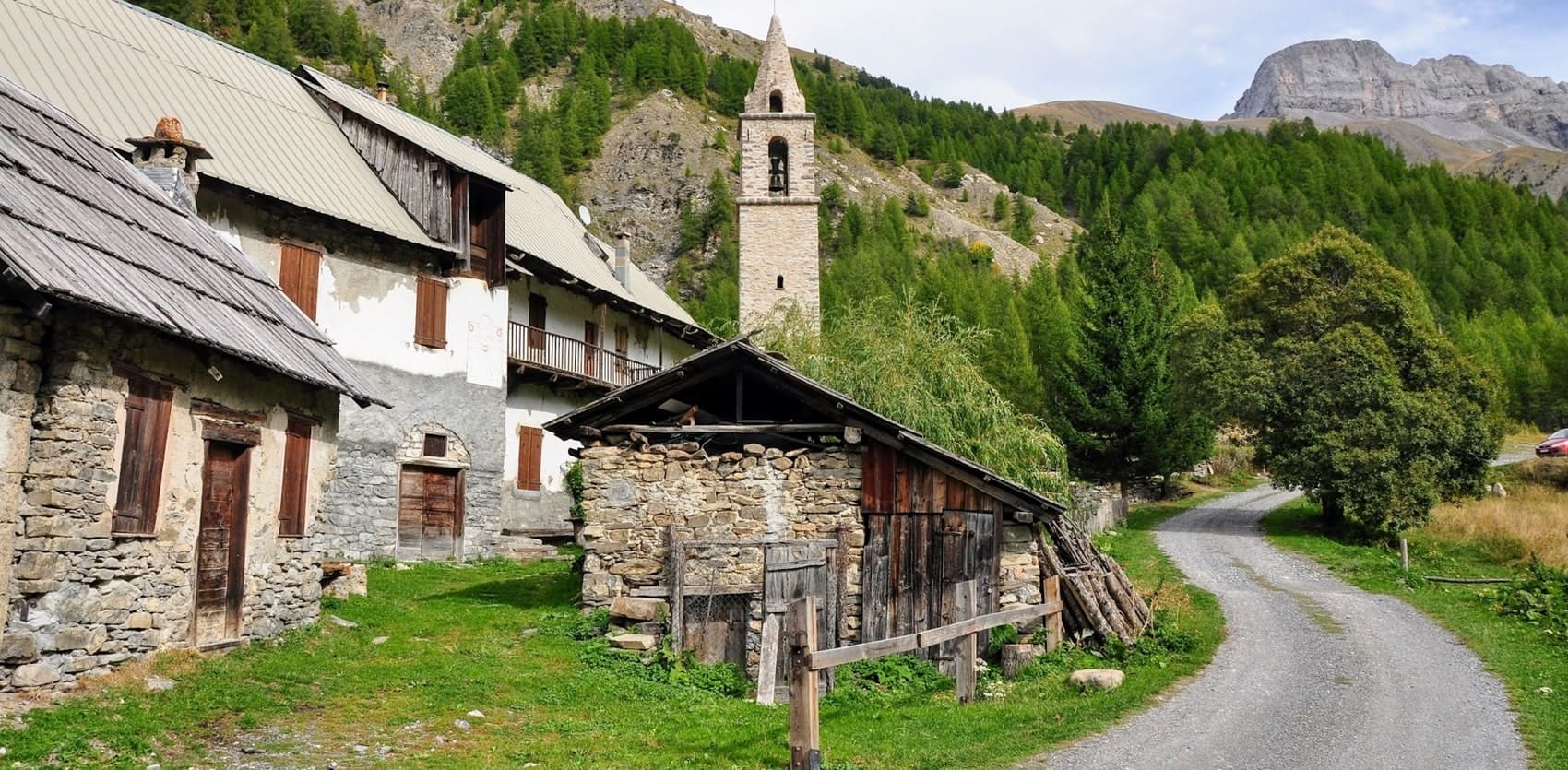
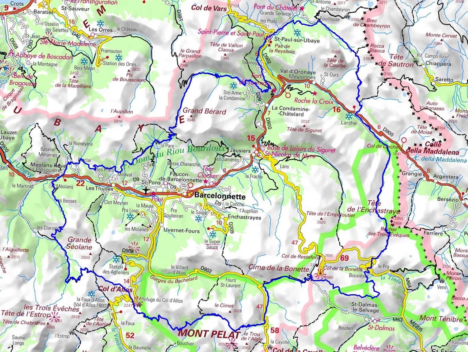
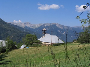
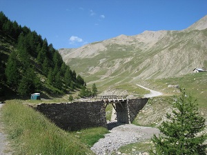
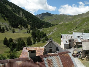
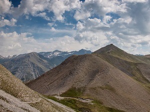
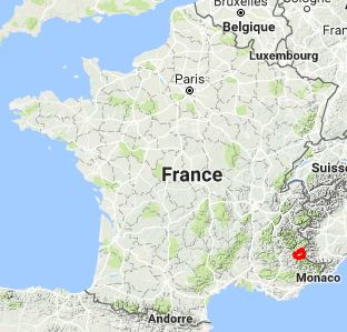
The GR®56, stretching approximately 158 kilometres, begins in the charming village of Méolans-Revel. Hikers will discover natural sites such as the Mercantour National Park, where Alpine fauna and flora thrive in a protected environment. The trail crosses renowned passes like the Col d'Allos and the Col de la Cayolle, and skirts majestic lakes such as Lac d'Allos, the largest natural high-altitude lake in Europe. The Ubaye Valley, long isolated by its mountain ramparts, has forged a unique cultural identity, visible in its fortified villages and the imposing Citadelle of Barcelonnette, a legacy of the Napoleonic era.
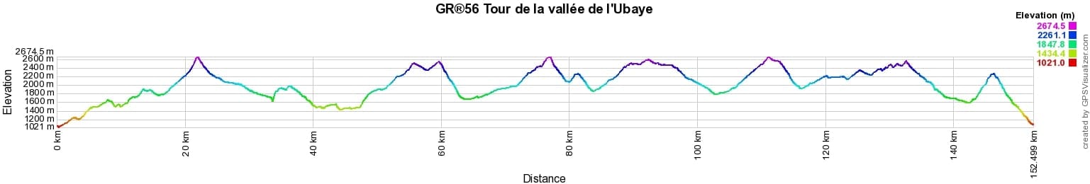
 Distance: 152km, Elevation maximum: 2674m, Elevation minimum: 1021m, Elevation gain uphill: 8720m
|
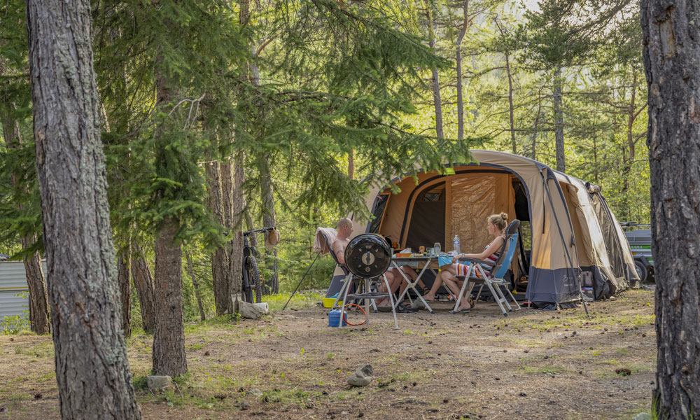
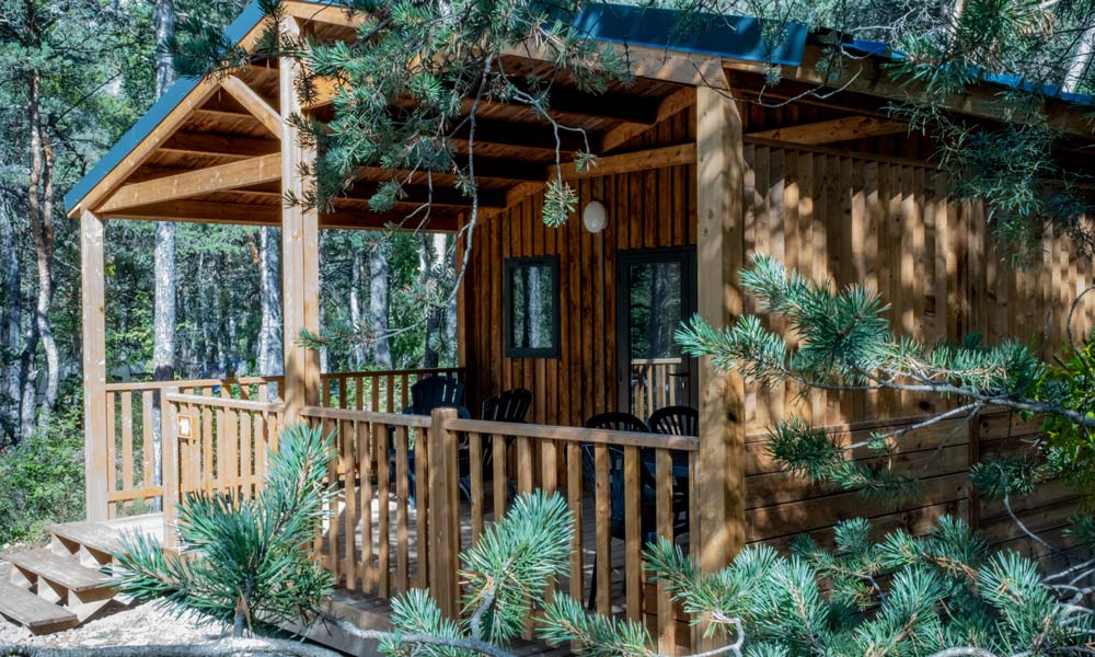
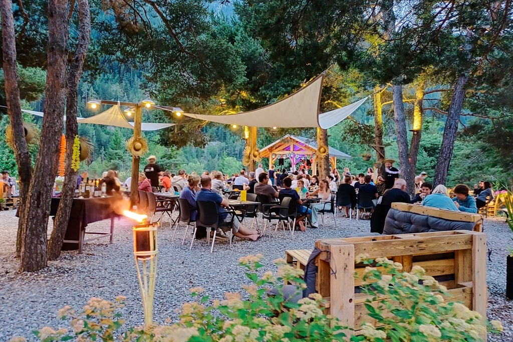
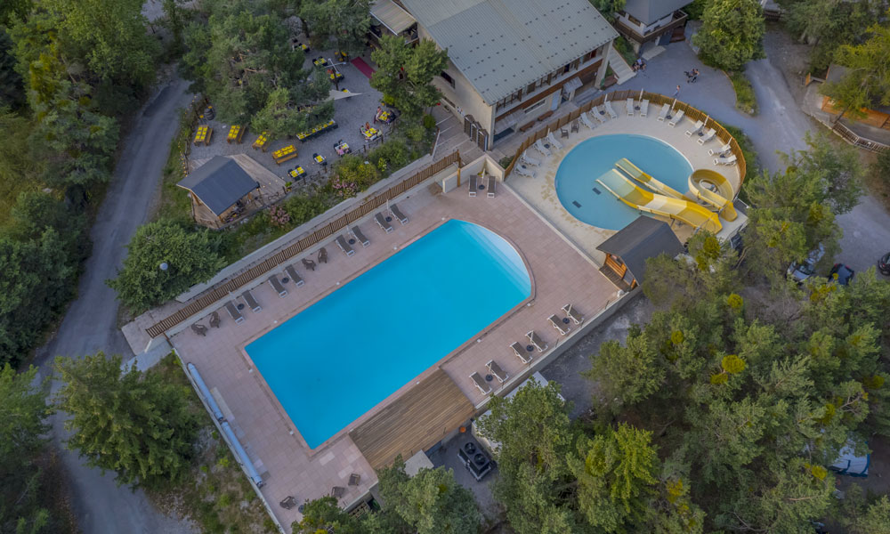
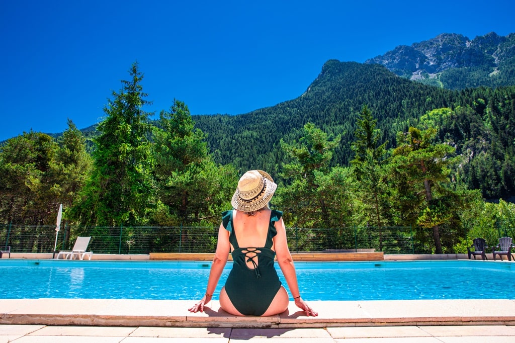
Méolans-Revel: Camping Rioclar****, Julie et Benoît Clayette, 04 92 81 10 32, Email On the banks of the Ubaye river, the Rioclar campsite welcomes you in an 8-hectare forest of pine, spruce and larch trees at an altitude of 1,100 metres. Stay in self-catering accommodation or on a traditional campsite for a break focused on nature, discovery, sport and relaxation. Heated swimming pool and restaurant with a breathtaking view of the Séolanes and its forests. |
|
|
Méolans-Revel: Méolans Guesthouse, M. Gatelet, 06 75 41 05 13, 09 54 88 86 25 The guesthouse is an excellent base camp. You can enjoy hiking, rafting, climbing, mountain biking, road cycling, paragliding or water sports, as well as relaxing on Lake Serre-Ponçon. |


|
Nearby paths:
![]() It is advisable to follow the beacons all along your hike and to bring the FFRP topo-guide. You will also find information on MonGR.fr.
It is advisable to follow the beacons all along your hike and to bring the FFRP topo-guide. You will also find information on MonGR.fr.
® The GR® GRP® PR acronyms, as well as the corresponding trail signs (white/red, yellow and yellow/red), are trademarks of the Fédération Française de la Randonnée Pédestre. They may not be reproduced without its permission. The FFRP, recognized as being of public utility, groups together the associations which create and maintain the hiking routes on the GR® GRP® PR. It publishes topo-guides for these hiking routes. With your donations, support the actions of the thousands of volunteer markers of the FFRP.
GR-Infos.com is an editorial partner of MonGR.fr.
| Return |

Former holiday hotel with a garden along the Allier, L'Etoile Guest House is located in La Bastide-Puylaurent between Lozere, Ardeche and the Cevennes in the mountains of Southern France. At the crossroads of GR®7, GR®70 Stevenson trail, GR®72, GR®700 Regordane way, GR®470 Springs and Gorges of the Allier river, GRP® Cevenol, Ardechoise mountain, Margeride. Many loop routes for hiking and cycling for a day. Ideal for a relaxing and hiking stay.
Copyright©gr-infos.com (Authorization of use for private purposes only)
To help us maintain and improve GR-Infos.com, a contribution of 2€ is desired via Wero or bank transfer. Thank you!