
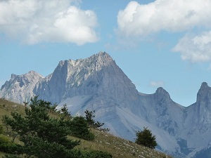
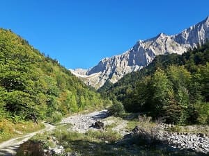
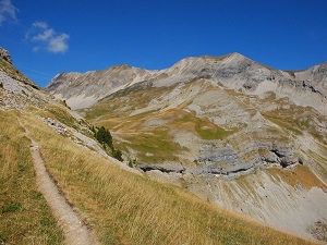
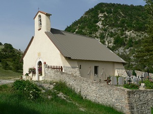
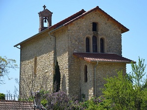
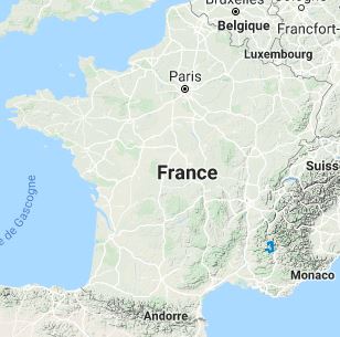
The GR®94, stretching 120 km, begins in Vaunières, a quaint hamlet nestled in the mountains. From the very first steps, hikers are immersed in pristine nature, with dense forests and flowery meadows. The trail leads to Lus-la-Croix-Haute, a charming village surrounded by majestic peaks. It then heads towards La Jarjatte, Cluse, and Glaise, crossing verdant valleys and pine forests. In Veynes, the trail traverses historic paths before continuing towards Saint-Auban-d’Oze and Savournon, where lavender fields and vineyards create a striking contrast with the mountains. La Buissière and Le Bersac, with their stone houses and narrow streets, add to the scenic journey. As you approach Serres, the trail follows rivers and cliffs, passing through Sigottier and La Montagne, with their varied landscapes and panoramic viewpoints, before reaching Praux Pass.

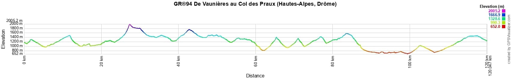
 Distance: 120km, Elevation maximum: 2005m, Elevation minimum: 652m, Elevation gain uphill: 6224m
IGN Maps: Glandasse Col de la Croix-Haute Pnr du Vercors - 3237OT. Luc-En-Diois Valdrome Col de Cabre - 3238OT. Devoluy Obiou Pic de Bure - 3337OT. Serres Veynes Haut Buech Bochaine - 3338OT.
Nearby paths:
![]() It is advisable to follow the beacons all along your hike and to bring the FFRP topo-guide. You will also find information on MonGR.fr.
It is advisable to follow the beacons all along your hike and to bring the FFRP topo-guide. You will also find information on MonGR.fr.
® The GR® GRP® PR acronyms, as well as the corresponding trail signs (white/red, yellow and yellow/red), are trademarks of the Fédération Française de la Randonnée Pédestre. They may not be reproduced without its permission. The FFRP, recognized as being of public utility, groups together the associations which create and maintain the hiking routes on the GR® GRP® PR. It publishes topo-guides for these hiking routes. With your donations, support the actions of the thousands of volunteer markers of the FFRP.
GR-Infos.com is an editorial partner of MonGR.fr.
| Return |

Former holiday hotel with a garden along the Allier, L'Etoile Guest House is located in La Bastide-Puylaurent between Lozere, Ardeche and the Cevennes in the mountains of Southern France. At the crossroads of GR®7, GR®70 Stevenson trail, GR®72, GR®700 Regordane way, GR®470 Springs and Gorges of the Allier river, GRP® Cevenol, Ardechoise mountain, Margeride. Many loop routes for hiking and cycling for a day. Ideal for a relaxing and hiking stay.
Copyright©gr-infos.com (Authorization of use for private purposes only)
To help us maintain and improve GR-Infos.com, a contribution of 2€ is desired via Wero or bank transfer. Thank you!