
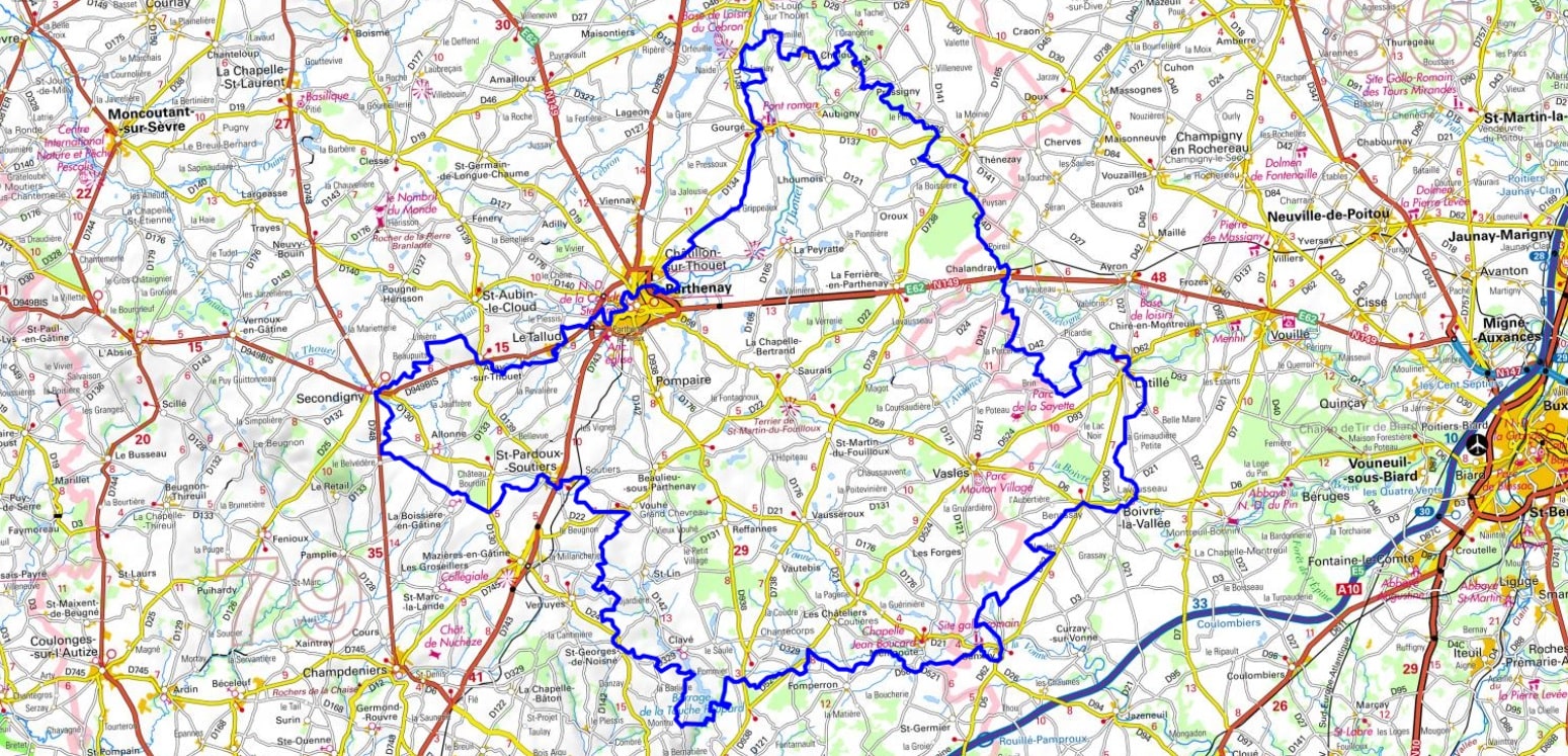
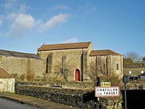
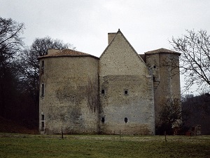
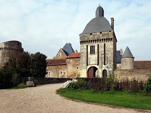
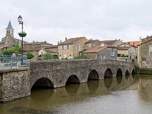
Starting from the medieval town of Parthenay, the trail follows the meanders of the Thouet River towards Saint-Loup-sur-Thouet, a charming village with remarkable architectural heritage, before winding its way into the bocage countryside of the Gâtine region. Passing through Lavausseau, famous for its commandery and its tanners' quarter, artisanal history blends with a preserved natural landscape of hedgerows and small streams. One of the highlights of the journey is Sanxay, where the impressive remains of a Gallo-Roman sanctuary bear witness to the ancient importance of this crossroads. The terrain then undulates towards Secondigny and Saint-Pardoux, offering typical landscapes of ponds and woodlands where biodiversity flourishes far from the hustle and bustle. Between the manor houses of Chillou and the Romanesque churches of Soutiers, each stage reveals an authentic rural way of life and robust granite architecture.

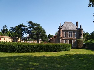
Located on the edge of the Deux-Sèvres department, the Marches de Gâtine form a unique transitional territory where the granite of the Armorican Massif meets the limestone plains of the Poitou threshold. This preserved bocage landscape, characterized by its dense hedgerows and sunken lanes, offers an intimate natural environment where water is ever-present, feeding numerous streams and ponds. The region's history is marked by its position as a natural border, as evidenced by the medieval heritage of towns of character such as Parthenay, a major stop on the Way of St. James (Camino de Santiago) with its Saint James Gate and half-timbered houses. The rural architecture here is authentic, using local stone to build stately homes and discreet yet remarkable Romanesque churches. Biodiversity flourishes in this network of hedgerows, which serves as a refuge for a diverse fauna, from birds of prey to amphibians in the wetlands. Between the steep-sided valleys of the Thouet and the gentle hills, the Marches de Gâtine are a land of traditions where livestock farming has shaped a mosaic of green meadows.
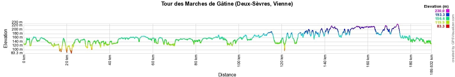
 Distance: 187km, Elevation maximum: 220m, Elevation minimum: 79m, Elevation gain uphill: 1535m
IGN Maps: Parthenay - 1626O. La Chapelle-Saint-Laurent - 1526E. Secondigny - 1527E. Thénezay - 1626E. Vasles - 1627E. Mazières-En-Gâtine - 1627O. Vouillé - 1726O. Coulombiers - 1727O. Coulommiers - 2514E.
Nearby paths:
![]() It is advisable to follow the beacons all along your hike and to bring the FFRandonnée topo-guide. You will also find information on MonGR.fr.
It is advisable to follow the beacons all along your hike and to bring the FFRandonnée topo-guide. You will also find information on MonGR.fr.
GR®, PR®, GRP® and the corresponding markings are trademarks of the French Federation of Hiking. They may not be reproduced without permission. The French Federation of Hiking, state-approved, includes organizations that maintain hiking routes. It publishes guides for these routes. With your donations, support the actions of the thousands of volunteer markers of the FFRandonnée.
GR-Infos.com is an editorial partner of MonGR.fr.
| Return |

Former holiday hotel with a garden along the Allier, L'Etoile Guest House is located in La Bastide-Puylaurent between Lozere, Ardeche, and the Cevennes in the mountains of Southern France. At the crossroads of GR®7, GR®70 Stevenson Path, GR®72, GR®700 Regordane Way, GR®470 Allier River springs and gorges, GRP® Cevenol, Ardechoise Mountains, Margeride. Numerous loop trails for hiking and one-day biking excursions. Ideal for a relaxing and hiking getaway.
Copyright©gr-infos.com (Authorization for private use only)
To help us maintain and improve GR-Infos.com, a contribution of 2€ is desired via Wero or bank transfer. Thank you!