
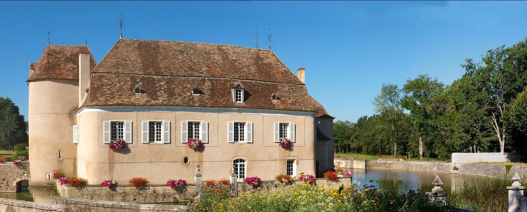
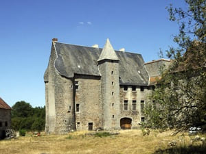
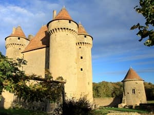
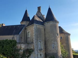
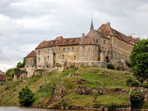
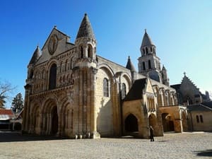
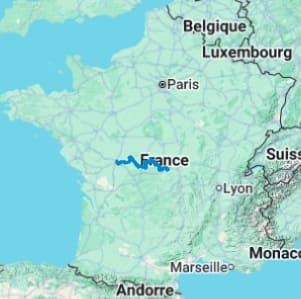
The GR100 follows the footsteps of the 14th-century Franco-English conflict, highlighting more than thirty defensive sites and medieval citadels. From the fortress of the Dukes of Bourbon to the battlefields of Poitou, hikers traverse a France full of character, marked by the raids of the Black Prince. In terms of landscape, the route offers remarkable diversity through five departments. After leaving the green hedgerows of Allier and Cher, the trail dives into the steep valleys of the Creuse, revealing wild panoramas that once inspired Impressionist painters. The transition to Indre takes place through the Brenne Regional Natural Park, nicknamed the "land of a thousand ponds," a biodiversity sanctuary where aquatic wildlife reigns supreme. Finally, the rolling landscapes of Poitou lead gently toward Poitiers, the city of a hundred bell towers.
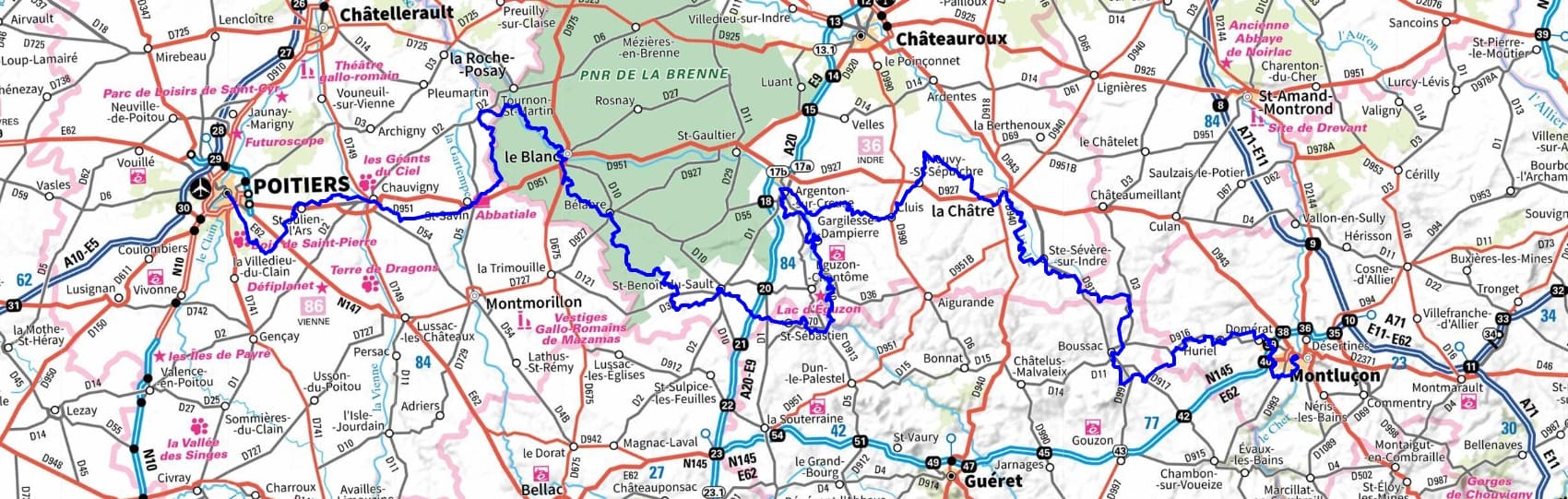
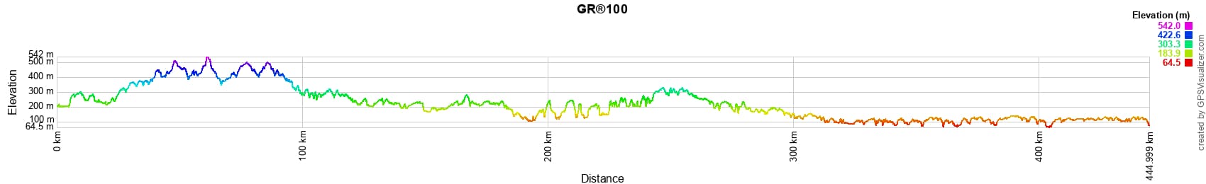
 Distance: 443km (275 miles), Maximum altitude: 541m, Minimum altitude: 64m, Total elevation gain: 5167m
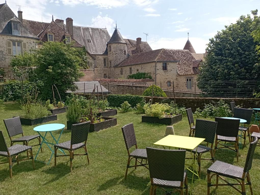
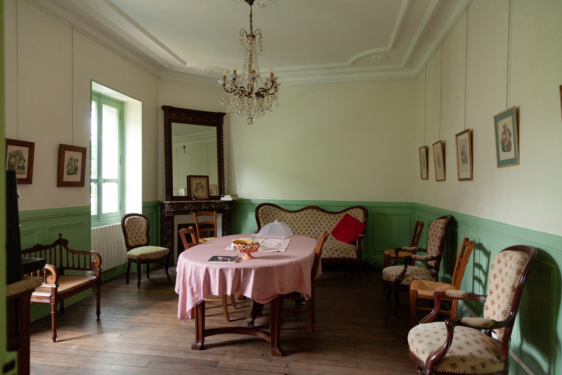
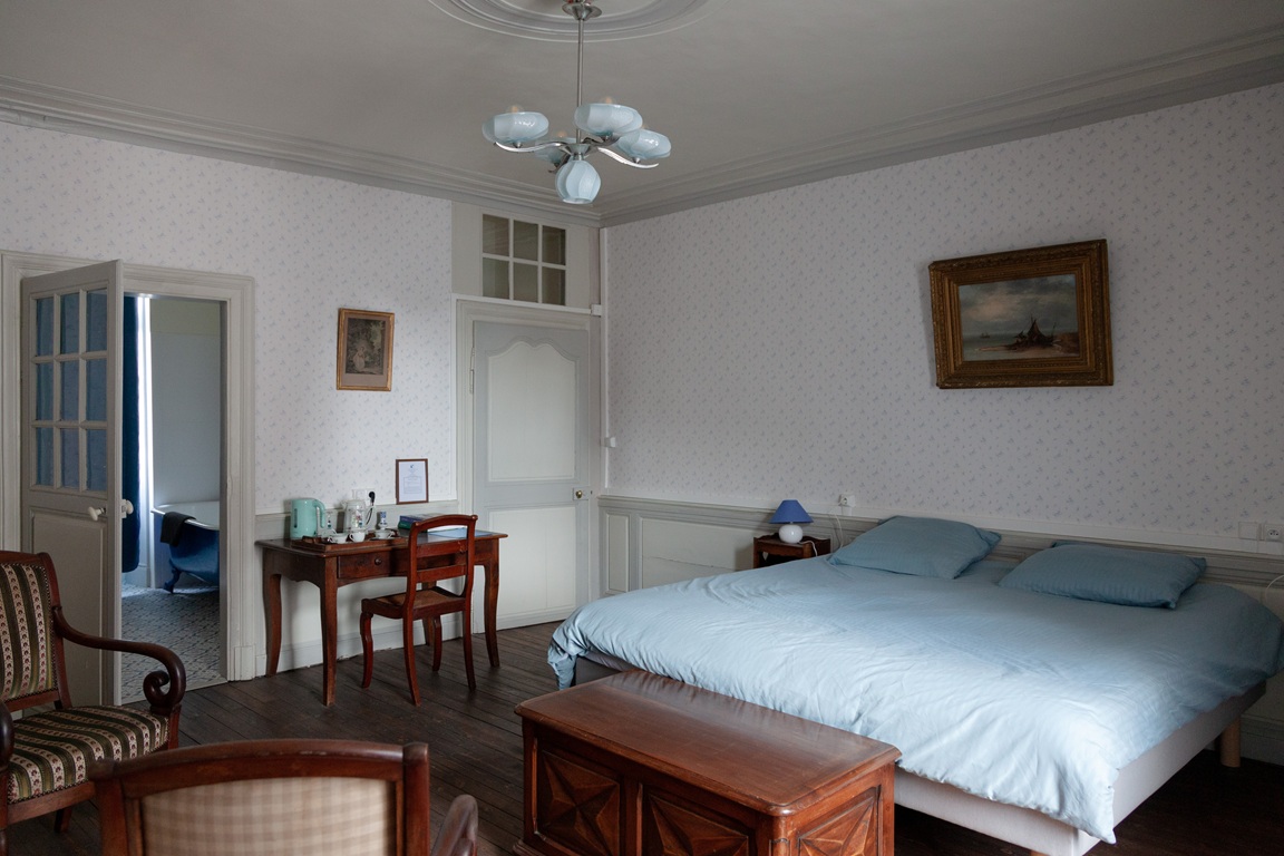
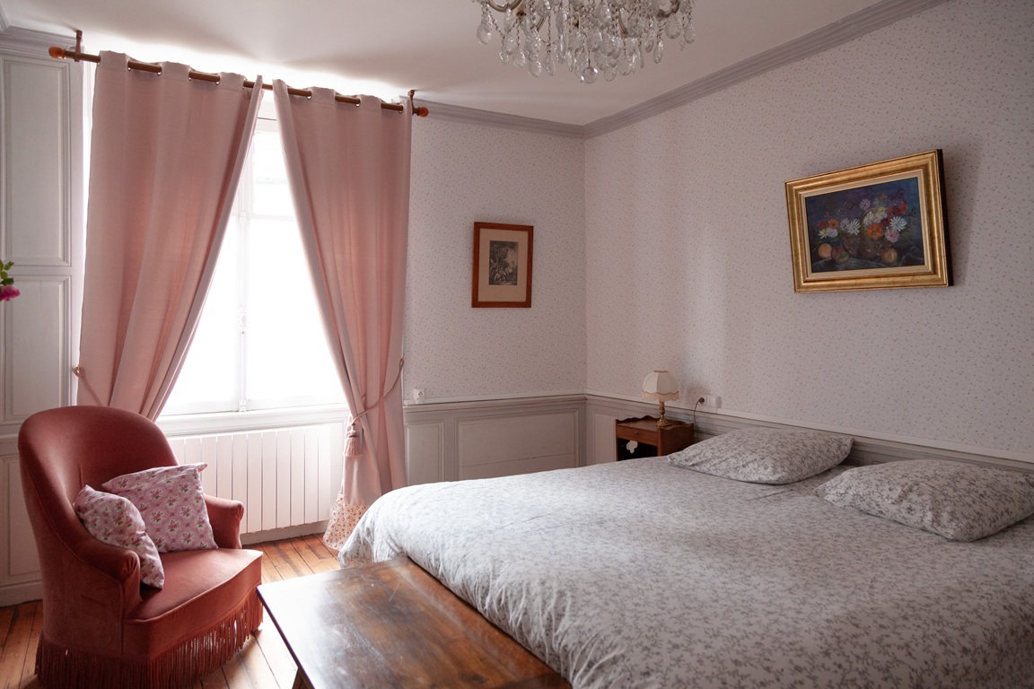
Saint Benoit du Sault: Maison d'hôtes Les chambres fleuries, 07 65 51 23 99, 06 09 60 04 63, Philgallay@yahoo.fr. |
     |
Nearby trails:
![]() It is advisable to follow the trail markers all along your hike and to bring the FFRP topo-guide. You will also find information on MonGR.fr.
It is advisable to follow the trail markers all along your hike and to bring the FFRP topo-guide. You will also find information on MonGR.fr.
® The GR® GRP® PR acronyms, as well as the corresponding trail signs (white/red, yellow and yellow/red), are trademarks of the Fédération Française de la Randonnée Pédestre. They may not be reproduced without its permission. The FFRP, recognized as being of public utility, brings together the associations which create and maintain the hiking routes on the GR® GRP® PR. It publishes topo-guides for these hiking routes. With your donations, support the actions of the thousands of volunteer markers of the FFRP.
GR-Infos.com is an editorial partner of MonGR.fr.
| Return |

Former holiday hotel with a garden along the Allier, L'Etoile Guest House is located in La Bastide-Puylaurent between Lozere, Ardeche and the Cevennes in the mountains of Southern France. At the crossroads of GR®7, GR®70 Stevenson trail, GR®72, GR®700 Regordane way, GR®470 Springs and Gorges of the Allier river, GRP® Cevenol, Ardechoise mountain, Margeride. Many loop routes for hiking and cycling for a day. Ideal for a relaxing and hiking stay.
Copyright©gr-infos.com (Authorization of use for private purposes only)
To help us maintain and improve GR-Infos.com, a contribution of 2€ is desired via Wero or bank transfer. Thank you!