
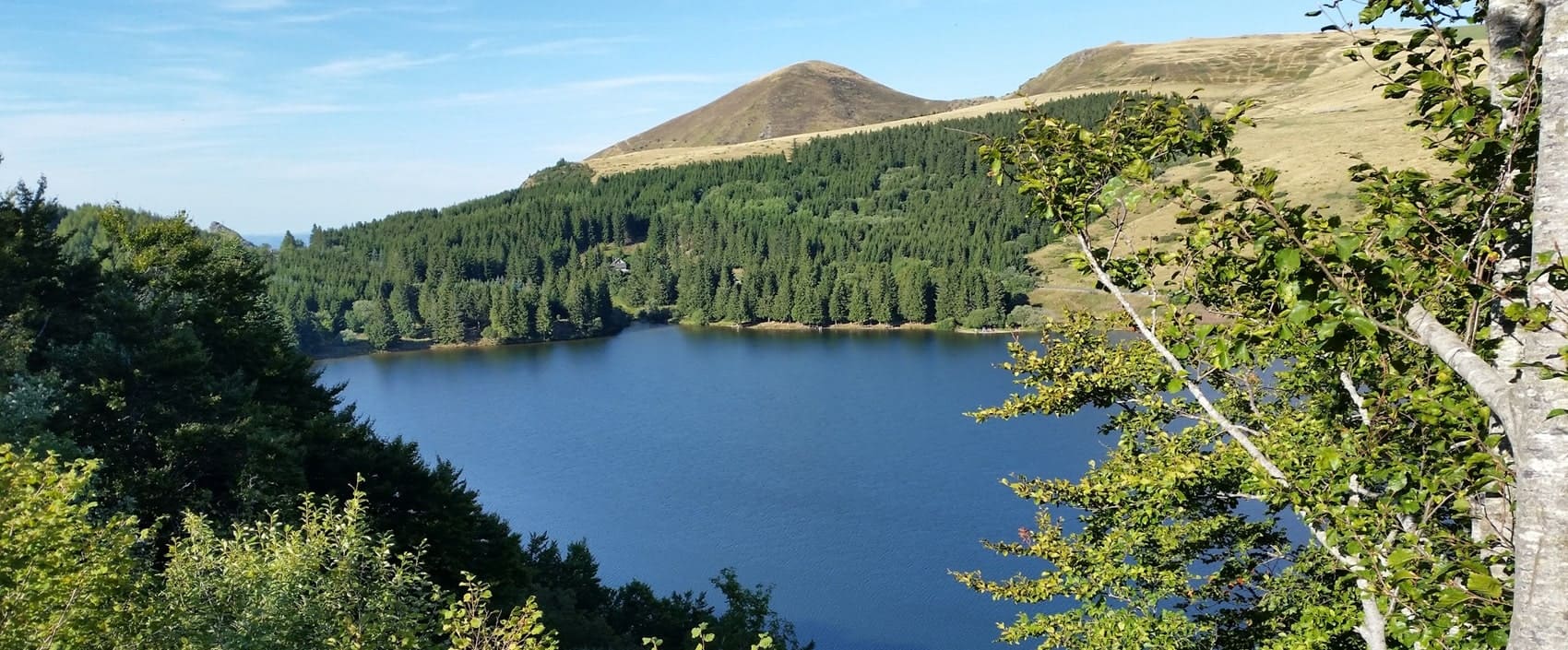
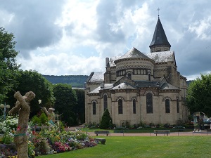
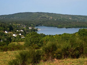
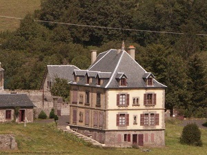
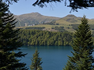
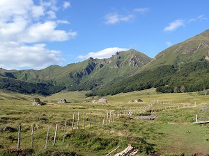
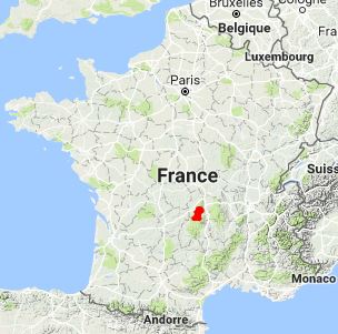
The GR®30, forming a loop around the Auvergne volcanoes and lakes starting from La Bourboule, is an immersion into a unique volcanic landscape in Europe. The trail passes near spectacular crater lakes like Lake Pavin or Lake Guéry, and crosses the vast summer pastures of the Cézallier. The flora is rich with alpine and subalpine species, including the yellow gentian, while the fauna includes marmots, mouflons, and birds of prey such as the peregrine falcon. The heritage is marked by mountain agriculture, with its traditional burons where Saint-Nectaire cheese is produced. This demanding hike offers breathtaking panoramas of the Chaîne des Puys and the Dore Mountains.
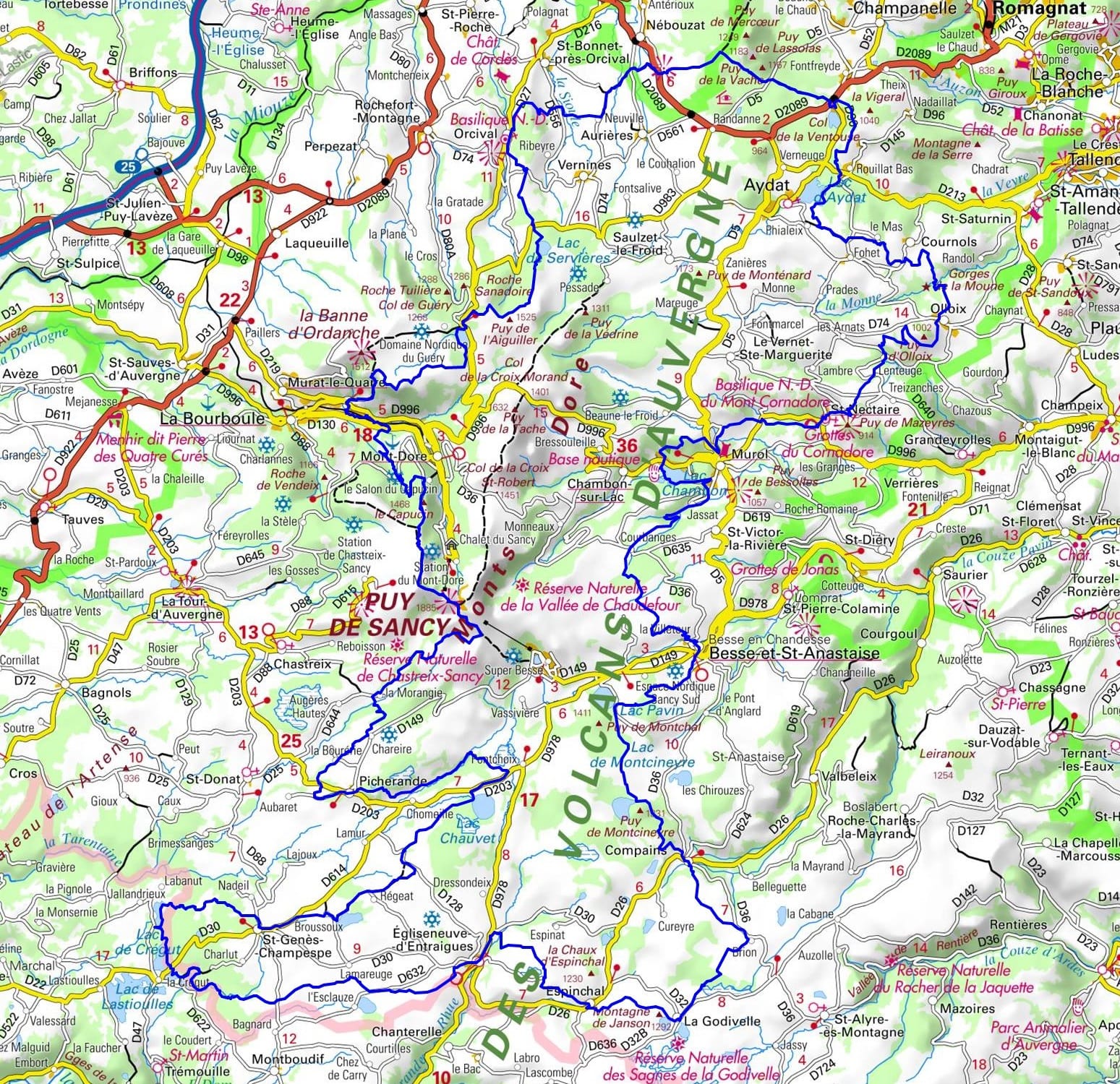
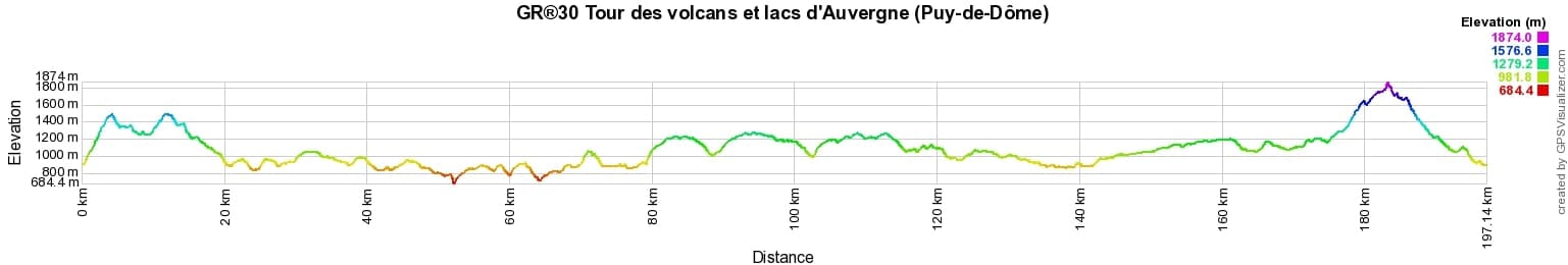
 Distance: 198km, Elevation maximum: 1845m, Elevation minimum: 785m, Elevation gain uphill: 6157m
IGN Maps: Massif du Sancy PNR des Volcans d'Auvergne (2432ET). Bort-les-Orgues PNR des Volcans d'Auvergne (2433SB). Lac Pavin (2432SB).
Nearby paths:
![]() It is advisable to follow the beacons all along your hike and to bring the FFRandonnee topo-guide. You will also find information on MonGR.fr.
It is advisable to follow the beacons all along your hike and to bring the FFRandonnee topo-guide. You will also find information on MonGR.fr.
GR®, PR®, GRP®, and the corresponding signs of markings (white/red, yellow and yellow/red) are trademarks of the French Federation of Hiking. They may not be reproduced without permission. The French Federation of Hiking, state-approved, includes organizations that create and maintain hiking routes on GR®, PR® and GRP®. It publishes guides for these topo hiking routes. With your donations, support the actions of the thousands of volunteer markers of the FFRandonnee.
GR-Infos.com is an editorial partner of MonGR.fr.
| Return |

Former holiday hotel with a garden along the Allier, L'Etoile Guest House is located in La Bastide-Puylaurent between Lozere, Ardeche, and the Cevennes in the mountains of Southern France. At the crossroads of GR®7, GR®70 Stevenson Path, GR®72, GR®700 Regordane Way, GR®470 Allier River springs and gorges, GRP® Cevenol, Ardechoise Mountains, Margeride. Numerous loop trails for hiking and one-day biking excursions. Ideal for a relaxing and hiking getaway.
Copyright©gr-infos.com (Authorization for private use only)
To help us maintain and improve GR-Infos.com, a contribution of 2€ is desired via Wero or bank transfer. Thank you!