
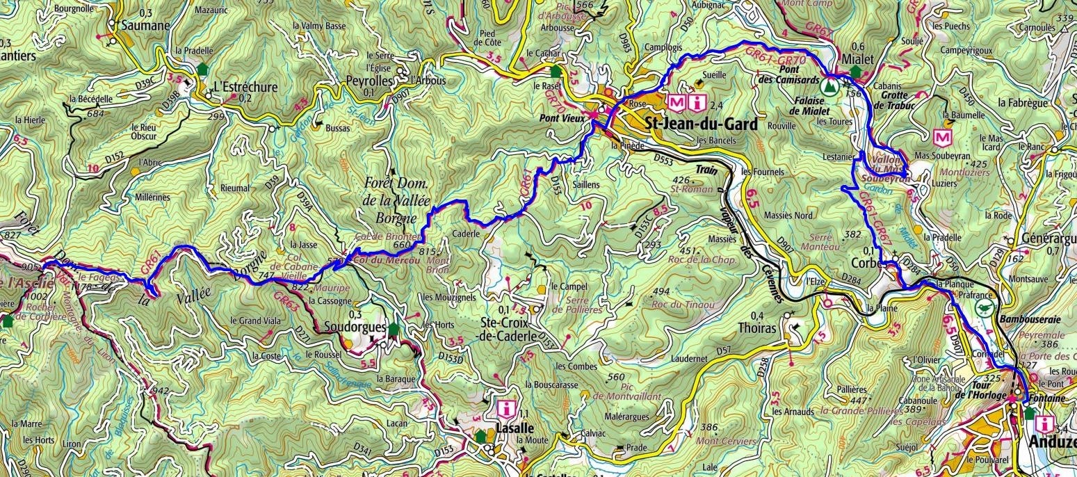
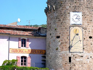
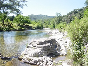
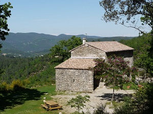
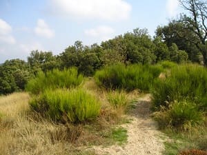
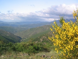
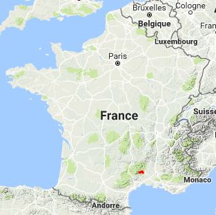
The GR®61, spanning 35 kilometres, traverses the Cévennes National Park. Starting from Anduze, the path follows the course of the Gardon d'Anduze towards Générargues and then Mialet, a historic village renowned for its Desert Museum, which chronicles the history of the Cévennes Protestants. Upon reaching Saint-Jean-du-Gard, known for its vibrant weekly market, hikers are rewarded with glimpses of the rugged Cévennes landscape. The trail then climbs towards the Asclier Pass, offering panoramic views of the surrounding mountains, before descending into the valley. The park's flora is rich in chestnut trees and Mediterranean species, while the fauna includes various bird species and mammals such as the roe deer.

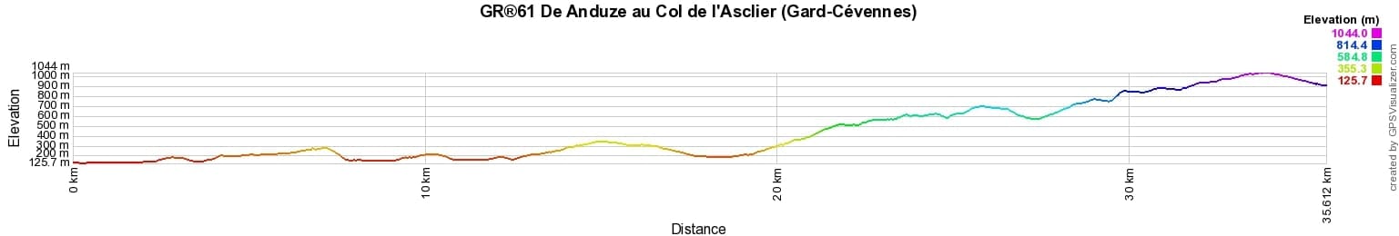
 Distance: 35km, Elevation maximum: 1050m, Elevation minimum: 130m, Elevation gain uphill: 1722m
Nearby paths:
![]() It is advisable to follow the beacons all along your hike and to bring the FFRandonnée topo-guide. You will also find information on MonGR.fr.
It is advisable to follow the beacons all along your hike and to bring the FFRandonnée topo-guide. You will also find information on MonGR.fr.
GR®, PR®, GRP®, and the corresponding signs of markings (white/red, yellow and yellow/red) are trademarks of the French Federation of Hiking. They may not be reproduced without permission. The French Federation of Hiking, state-approved, includes organizations that create and maintain hiking routes on GR®, PR® and GRP®. It publishes topo-guides for these hiking routes. With your donations, support the actions of the thousands of volunteer markers of the FFRandonnée.
GR-Infos.com is an editorial partner of MonGR.fr.
| Return |

Former holiday hotel with a garden along the Allier, L'Etoile Guest House is located in La Bastide-Puylaurent between Lozere, Ardeche, and the Cevennes in the mountains of Southern France. At the crossroads of GR®7, GR®70 Stevenson Path, GR®72, GR®700 Regordane Way, GR®470 Allier River springs and gorges, GRP® Cevenol, Ardechoise Mountains, Margeride. Numerous loop trails for hiking and one-day biking excursions. Ideal for a relaxing and hiking getaway.
Copyright©gr-infos.com (Authorization for private use only)
To help us maintain and improve GR-Infos.com, a contribution of 2€ is desired via Wero or bank transfer. Thank you!