
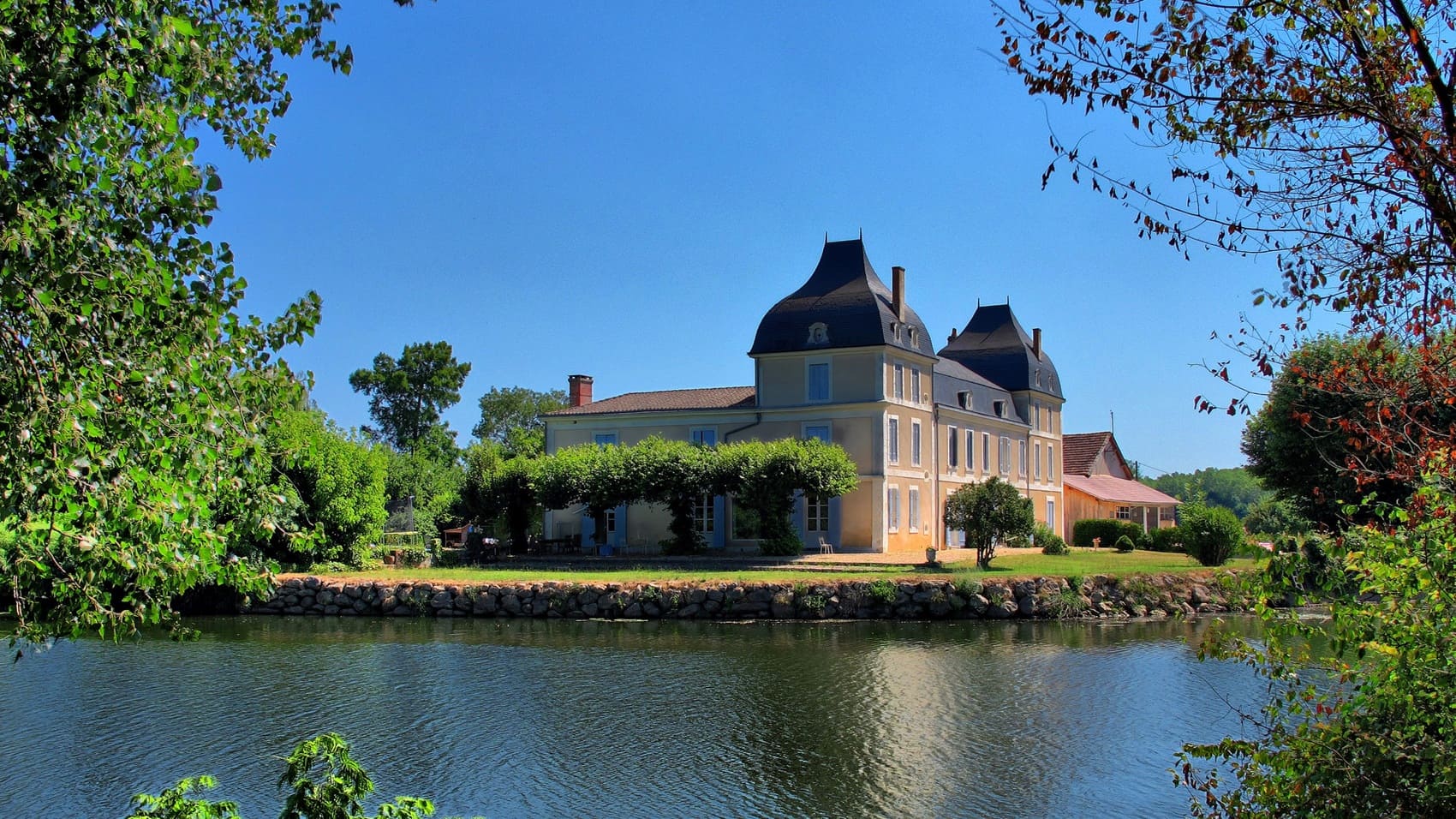
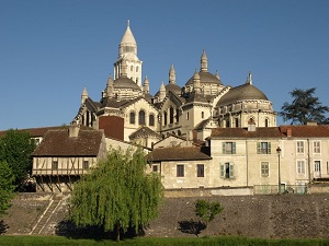
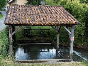
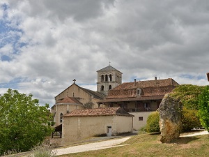
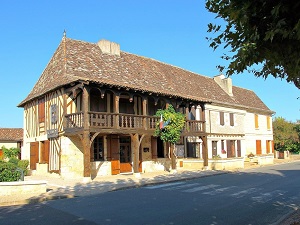
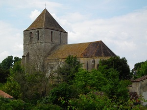
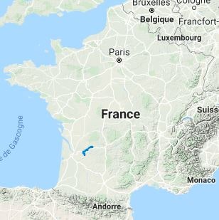
The GR646 trail follows the course of the water, meandering between the wooded banks of the river and the limestone hillsides in a centuries-old passage between the Massif Central and the Aquitaine Basin. It follows old towpaths and communication routes that were once vital for transporting goods to Libourne and Bordeaux. The built heritage is exceptionally rich: the trail begins opposite the majestic Saint-Front Cathedral in Périgueux, before passing through charming villages like Douzillac with its traditional Périgord houses. In Montpon-Ménestérol, the river's history is revealed through its locks and mills, while Saint-Méard-de-Gurçon marks the entrance to the wine-growing landscapes. Nature here is generous and soothing, alternating between oak forests, wet meadows, and renowned vineyards as you approach the fortified town of Sainte-Foy-la-Grande.
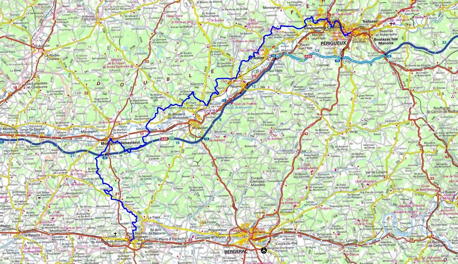
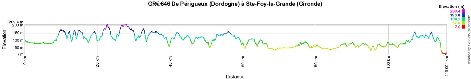
 Distance: 116km, Elevation maximum: 210m, Elevation minimum: 13m, Elevation gain uphill: 1621m
IGN Maps: Saint-Medard-De-Mussidan - 1735E. Montpon Menesterol - 1735O. Velines - 1736O. Mussidan - 1835O. Sainte-Foy-La-Grande - 1736E.
Nearby paths:
![]() It is advisable to follow the beacons throughout your itinerary and to take the Fédération Française de la Randonnée Pédestre topo-guide with you. You will also find information on MonGR.fr.
It is advisable to follow the beacons throughout your itinerary and to take the Fédération Française de la Randonnée Pédestre topo-guide with you. You will also find information on MonGR.fr.
GR®, PR®, GRP®, and the corresponding signs of markings (white / red, yellow and yellow / red) are trademarks of the French Federation of Hiking. They may not be reproduced without permission. The French Federation of Hiking, state-approved, includes organizations that create and maintain hiking routes on GR®, PR®, and GRP®. It publishes guides for these topo hiking routes. With your donations, you support the actions of the thousands of FFRandonnée volunteer markers.
GR-Infos.com is an editorial partner of MonGR.fr.
| Return |

Former holiday hotel with a garden along the Allier, L'Etoile Guest House is located in La Bastide-Puylaurent between Lozere, Ardeche, and the Cevennes in the mountains of Southern France. At the crossroads of GR®7, GR®70 Stevenson Path, GR®72, GR®700 Regordane Way, GR®470 Allier River springs and gorges, GRP® Cevenol, Ardechoise Mountains, Margeride. Numerous loop trails for hiking and one-day biking excursions. Ideal for a relaxing and hiking getaway.
Copyright©gr-infos.com (Authorization for private use only)
To help us maintain and improve GR-Infos.com, a contribution of 2€ is desired via Wero or bank transfer. Thank you!