|
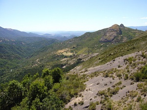
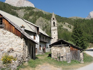
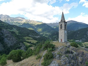
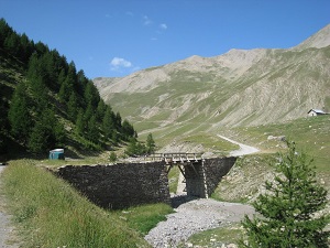
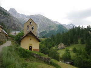
Hike on the GR®6 through Alpes-de-Haute-Provence department from Authon to Fouillouse via Surville, Bas Chardavon, Haut Chardavon, Seyne, Saint-Pons, Saint-Barthelemy, Les Clarionds, Col de Seolane, Gaudeissard, Rioclar Haut, Lac de Rioclar, Les Prats, Vallee du Parpaillon, Col de la Pare, Les Pras, Tournoux, Saint-Paul-sur-Ubaye and Pont de l'Estrech. Guest House, Bed and Breakfast, Hotel, Camping, Shelter, Inn, Shops.
|

|

GR®6
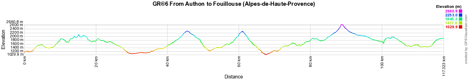
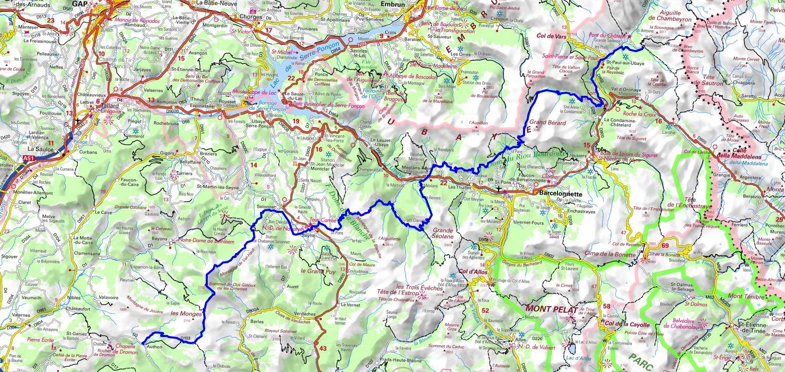
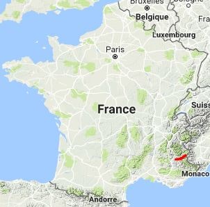
From Authon to Fouillouse (Alpes-de-Haute-Provence)
117Km
Google Maps - Google Earth

© GPX Private use only |
Distance: 117km, Elevation maximum: 2661m, Elevation minimum: 1030m, Elevation gain uphill: 7385m
IGN Maps: La Motte-Du-Caire Vallee du Sasse - 3339ET. Embrun Les Orres Lac de Serre-Poncon - 3438ET. Seyne Chabanon Grand-Puy Tete de l'Estrop - 3439ET. Aiguille de Chambeyron Cols de Larche et de Vars - 3538ET.
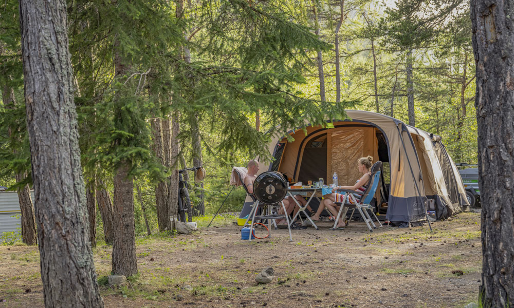
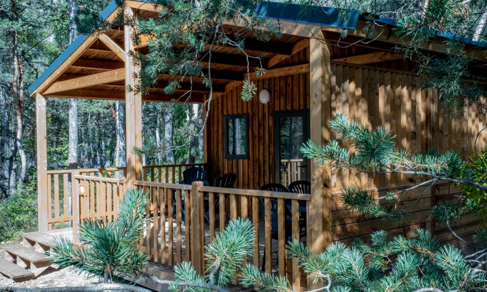
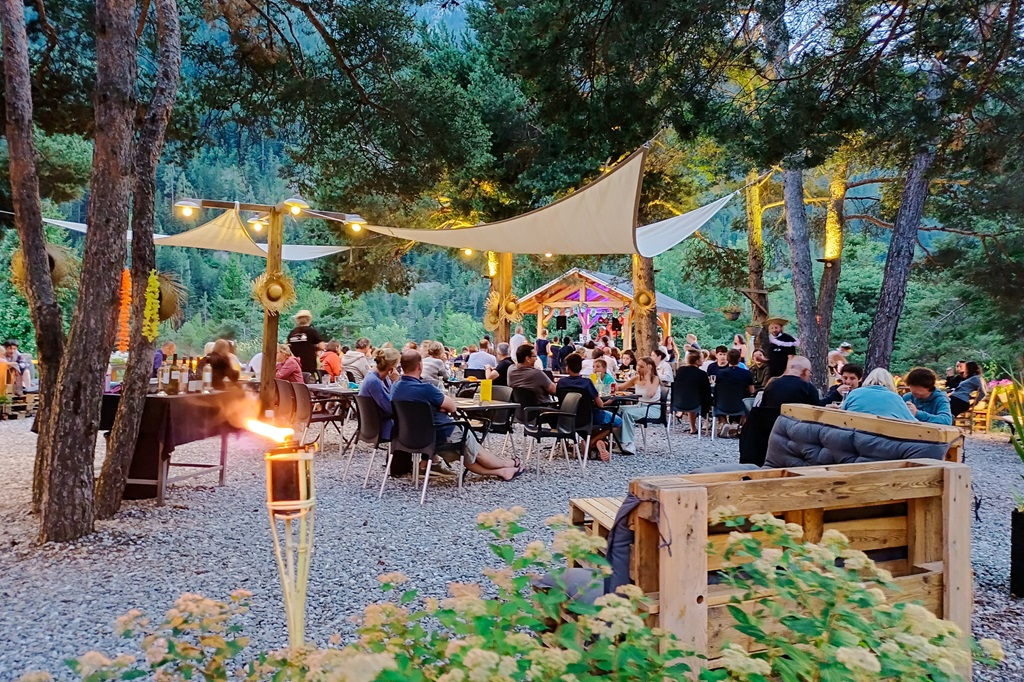
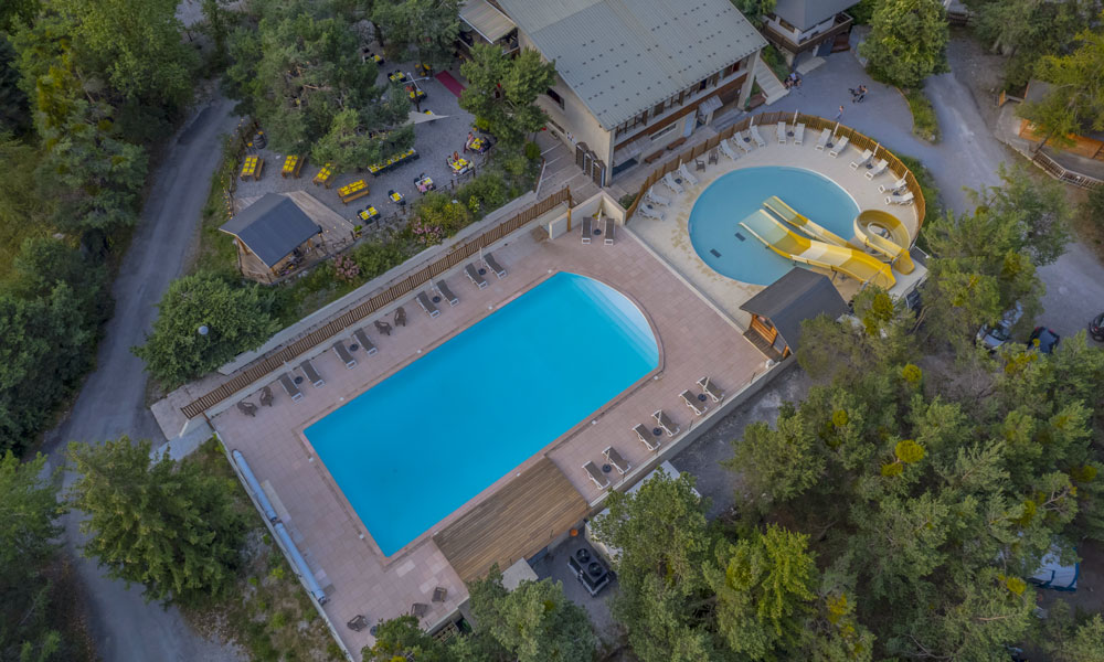
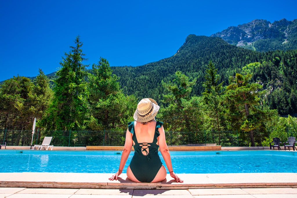
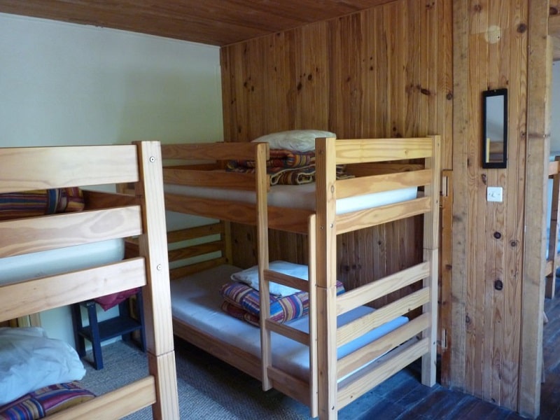
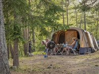
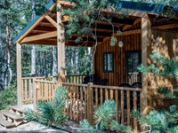
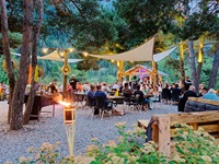
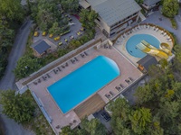
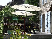
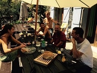
Meolans-Revel: Camping Rioclar****, Julie et Benoît Clayette, 04 92 81 10 32, Email
On the banks of the Ubaye river, the Rioclar campsite welcomes you in an 8ha forest of pine, spruce and larch trees at an altitude of 1100 meters. Stay at Rioclar in accommodation or in a traditional campsite for a stay focused on nature, discovery, sport and relaxation! Heated swimming pool and restaurant with a breathtaking view of the Séolanes and its forests. |
|
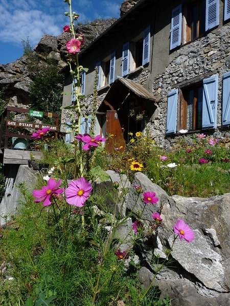
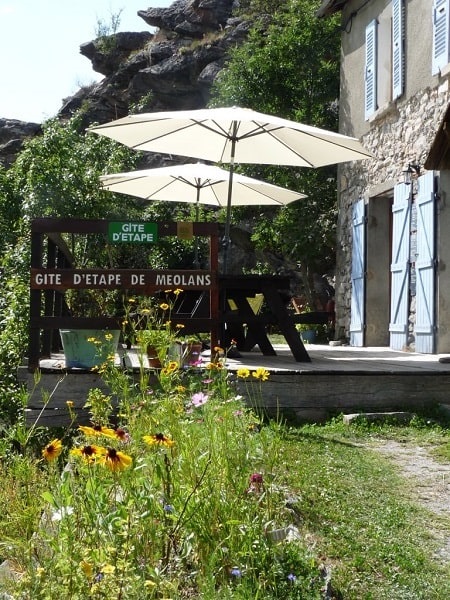
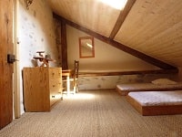
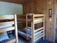
Meolans-Revel: Meolans Guesthouse, M. Gatelet, 06 75 41 05 13, 09 54 88 86 25
The Guesthouse is an excellent base camp. You can practice hiking, rafting, climbing, mountain biking, road cycling, paragliding or water sports and lazing on Lake Serre Poncon. |
|

Registration
Accommodation or business owner on or near a GR®, you can appear on GR-INFOS
For your registration, you can send me by email (papadimitriou4@gmail.com): your address and phone number, your website (Facebook page), a brief description with 5 beautiful photos of your establishment.
Registration price : 100€/5 years per GR® or GRP®. Renewable. |
|
GR®6 From Gironde to Alpes-de-Haute-Provence
From Arcachon to Villandraut (Gironde)
From Villandraut to Ste Foy-la-Grande (Gironde)
From Ste Foy-la-Grande (Gironde) to Eyzies-de-Tayac-Sireuil (Dordogne)
From Eyzies-de-Tayac-Sireuil (Dordogne) to Lacapelle-Marival (Lot)
From Lacapelle-Marival (Lot) to Espalion (Aveyron)
From Espalion (Aveyron) to St Pierre-des-Tripiers (Lozere)
From Saint-Pierre-des-Tripiers (Lozere) to Ners (Gard)
From Ners (Gard) to Aureille (Bouches-du-Rhone)
From Aureille (Bouches-du-Rhone) to Viens (Vaucluse)
From Viens (Vaucluse) to Authon (Alpes-de-Haut e-Provence)
From Authon to Fouillouse (Alpes-de-Haute-Provence)
 It is advisable to follow the beacons all along your hike and to bring you the FFRandonnee topo-guide. You
will also find information on MonGR.fr.
It is advisable to follow the beacons all along your hike and to bring you the FFRandonnee topo-guide. You
will also find information on MonGR.fr.
GR®, PR®, GRP®, and the corresponding signs of markings (white / red, yellow and yellow / red) are trademarks of the French
Federation of Hiking. They may not be reproduced without permission. The French Federation of Hiking, state-approved, includes organizations that create and maintain hiking routes on GR®, PR® and
GRP®. It publishes guides these topo hiking routes.
With your donations, support the actions of the thousands of volunteer markers of the FFRandonnee.
GR-Infos.com is an editorial partner of MonGR.fr.

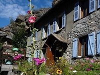
Old romantic Hotel, L'Etoile Guest-House is a mountain retreat in the South of France. With a beautiful park along the Allier River, L'Etoile Guesthouse is located in La Bastide-Puylaurent between Lozere, Ardeche and Cevennes. Many hiking trails like GR®7, GR®70 Stevenson trail, GR®72, GR®700 Regordane way, Cevenol, GR®470 Allier River Springs and Gorges, Margeride, Ardechoise. Many hiking loops. The right place to relax.
Copyright©gr-infos.com (Authorization for private use only)