
|
|
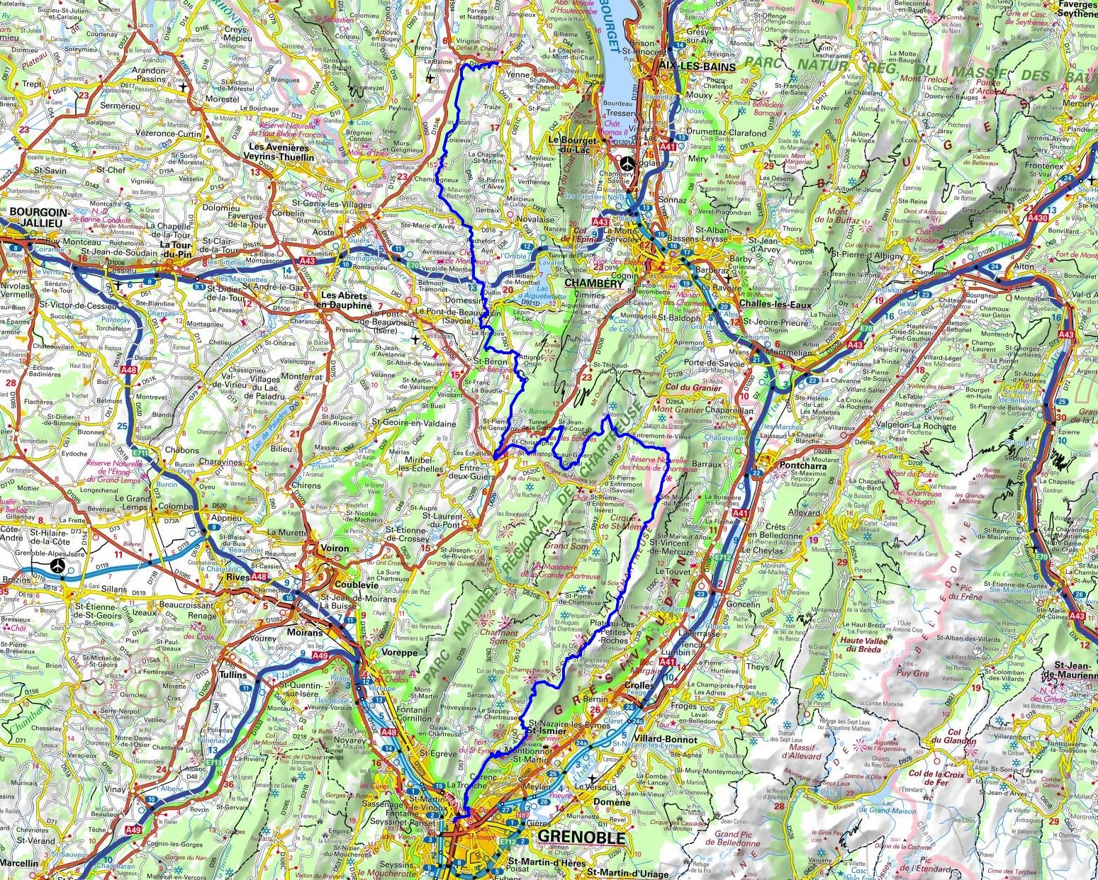
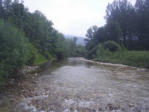
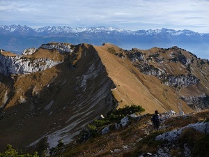
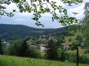
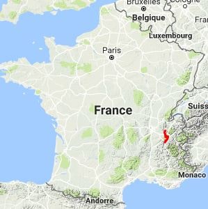
Hike on the GR®9 through Savoie and Isere department from Yenne to Grenoble via Le Borgey, Sainte Marie d'Alvey, Dullin, Rochassieux, Gerbezet, Entre-Deux-Guiers, Cote-Barrier, Epernay and Le Mollard. Guest House, Bed and Breakfast, Hotel, Camping, Shelter, Inn, Shops. |

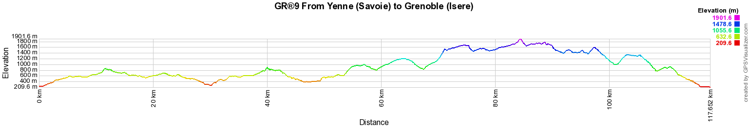
117km
|
 © GPX Private use only |
Distance: 117km, Elevation maximum: 1902m, Elevation minimum: 210m, Elevation gain uphill: 5850m
IGN Maps: Belley St-Genix-sur-Guiers Sud Bugey (3232ET). Massif de la Chartreuse Nord (3333OT). Massif de la Chartreuse Sud (3334OT). Grenoble Chamrousse Belledonne (3335OT).
Registration Accommodation or business owner on or near a GR®, you can appear on GR-INFOS For your registration, you can send me by email (papadimitriou4@gmail.com): your address and phone number, your website (Facebook page), a brief description with 5 beautiful photos of your establishment. Registration price : 100€/5 years per GR® or GRP®. Renewable. |
|
GR®9 From Jura to Mediterranean
From St Amour (Jura) to Mijoux (Ain)
From Mijoux (Ain) to Yenne (Savoie)
From Yenne (Savoie) to Grenoble (Isere)
From Grenoble (Isere) to Beaufort-sur-Gervanne (Drome)
From Beaufort-sur-Gervanne to Buis-les-Baronnies (Drome)
From Buis-les-Baronnies (Drome) to Cucuron (Vaucluse)
From Cucuron (Vaucluse) to Saint Zacharie (Var)
From Saint Zacharie to Port Grimaud (Var)
Wikipedia GR®9
![]() It is advisable to follow the beacons all along your hike and to bring you the FFRandonnee topo-guide. You
will also find information on MonGR.fr.
It is advisable to follow the beacons all along your hike and to bring you the FFRandonnee topo-guide. You
will also find information on MonGR.fr.
GR®, PR®, GRP®, and the corresponding signs of markings (white / red, yellow and yellow / red) are trademarks of the French Federation of Hiking. They may not be reproduced without permission. The French Federation of Hiking, state-approved, includes organizations that create and maintain hiking routes on GR®, PR® and GRP®. It publishes guides these topo hiking routes.
With your donations, support the actions of the thousands of volunteer markers of the FFRandonnee.
GR-Infos.com is an editorial partner of MonGR.fr.

|
| Return |
Old romantic Hotel, L'Etoile Guest-House is a mountain retreat in the South of France. With a beautiful park along the Allier River, L'Etoile Guesthouse is located in La Bastide-Puylaurent between Lozere, Ardeche and Cevennes. Many hiking trails like GR®7, GR®70 Stevenson trail, GR®72, GR®700 Regordane way, Cevenol, GR®470 Allier River Springs and Gorges, Margeride, Ardechoise. Many hiking loops. The right place to relax.
Copyright©gr-infos.com (Authorization for private use only)
