
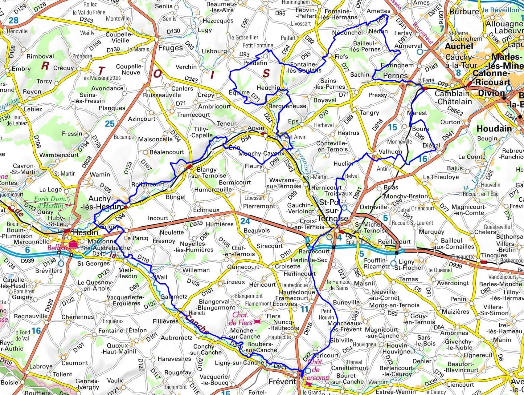
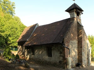
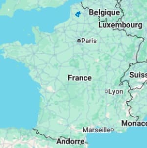
Starting from Saint-Pol-sur-Ternoise, the trail heads towards Frévent and Conchy-sur-Canche, following the meanders of the Canche river where ancient mills dot a landscape of wet meadows. Crossing through Fillièvres and Le Parcq, hikers enter the Forest of Créquy, a remnant of the great medieval woodlands. The route reaches Auchy-lès-Hesdin and its centuries-old abbey, before heading back up the Ternoise valley towards Blangy and Anvin. The terrain becomes steeper towards Prédefin, a high point offering clear views over silty plateaus and beech groves. The path passes through Amettes, the birthplace of Saint Benedict Joseph Labre, before reaching Pernes and its ancient fortifications. Between Diéval and Huclier, apple orchards alternate with the sunken lanes typical of Pas-de-Calais. The stage at Troisvaux marks a serene break with Belval Abbey, a haven of peace nestled in a lush green valley.
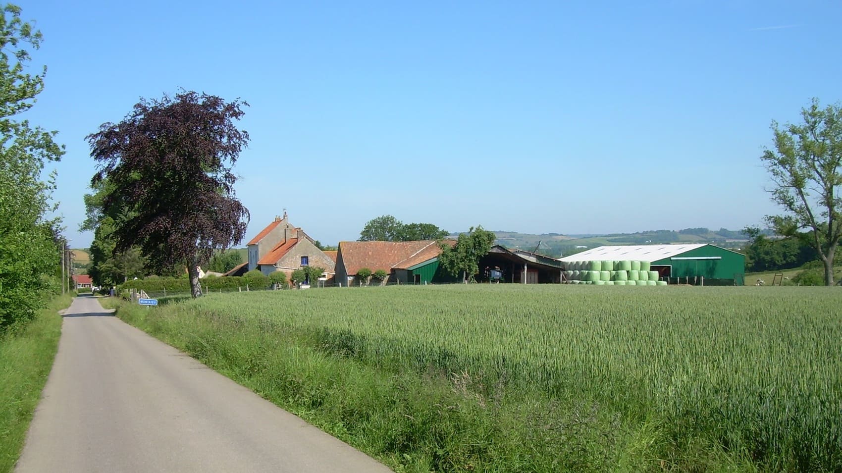
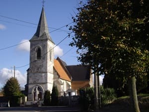
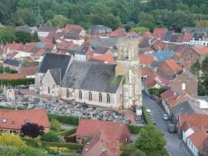
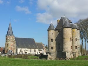
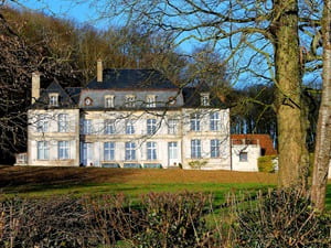
Nestled in the heart of Pas-de-Calais, the Ternois region reveals itself as a preserved green sanctuary, a true "green lung" between the Artois and the Opal Coast. Its ancient history centers around Saint-Pol-sur-Ternoise, a former countal city whose remains bear witness to its strategic importance since the Middle Ages. The architectural heritage is remarkable, highlighted by the elegance of Belval Abbey, a place of serenity, and by numerous castles and rural churches built of chalk stone. The landscapes are characterized by a rolling terrain, where agricultural plateaus give way to deep valleys and vast forest massifs. Nature expresses itself gently along the banks of the Ternoise and Canche rivers, teeming with fish as they wind through wet meadows and traditional bocage hedgerows. These waterways have shaped a strong rural identity, punctuated by old mills and square-courtyard farms typical of the regional architecture. Biodiversity reigns supreme here, offering hikers trails away from the main roads, under the leafy canopies of the Gauchin-Verloingt or Hesdin forests.
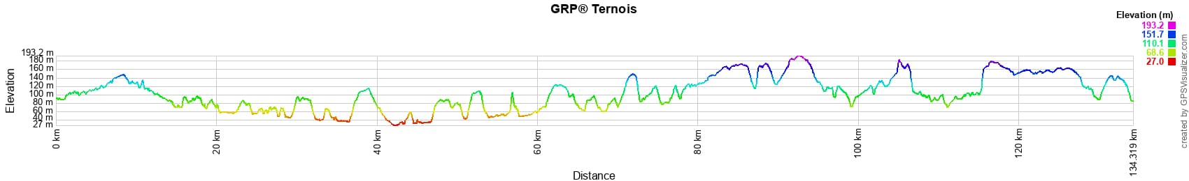
 Distance: 134km, Maximum elevation: 193m, Minimum elevation: 27m, Total ascent: 1475m
Nearby paths:
![]() It is advisable to follow the beacons all along your hike and to bring the FFRandonnée topo-guide. You will also find information on MonGR.fr.
It is advisable to follow the beacons all along your hike and to bring the FFRandonnée topo-guide. You will also find information on MonGR.fr.
GR®, PR®, GRP® and the corresponding markings are trademarks of the French Federation of Hiking. They may not be reproduced without permission. The French Federation of Hiking, state-approved, includes organizations that maintain hiking routes. It publishes guides for these routes. With your donations, support the actions of the thousands of volunteer markers of the FFRandonnée.
GR-Infos.com is an editorial partner of MonGR.fr.
| Return |

Former holiday hotel with a garden along the Allier, L'Etoile Guest House is located in La Bastide-Puylaurent between Lozere, Ardeche, and the Cevennes in the mountains of Southern France. At the crossroads of GR®7, GR®70 Stevenson Path, GR®72, GR®700 Regordane Way, GR®470 Allier River springs and gorges, GRP® Cevenol, Ardechoise Mountains, Margeride. Numerous loop trails for hiking and one-day biking excursions. Ideal for a relaxing and hiking getaway.
Copyright©gr-infos.com (Authorization for private use only)
To help us maintain and improve GR-Infos.com, a contribution of 2€ is desired via Wero or bank transfer. Thank you!