
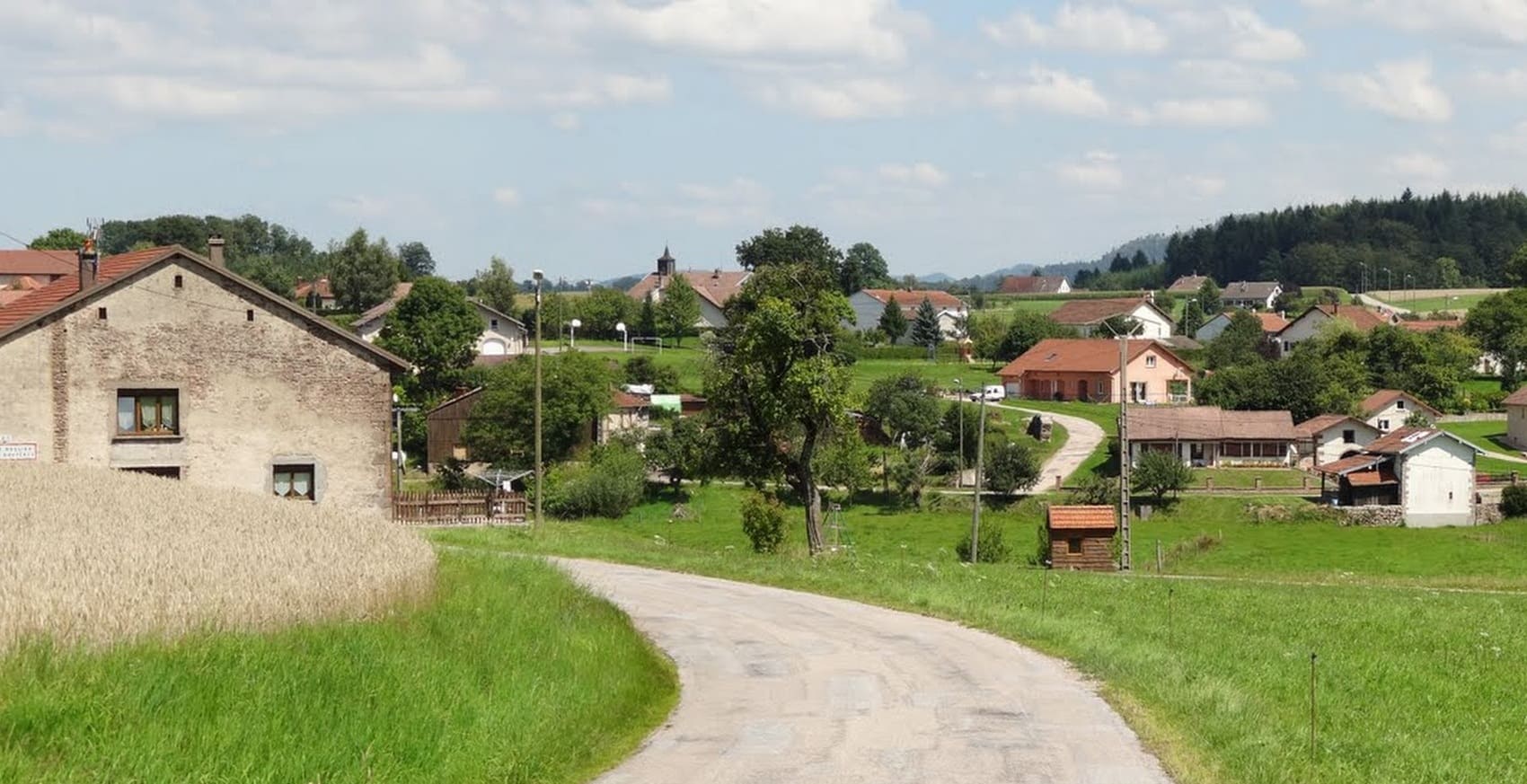
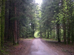
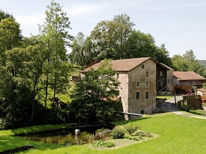
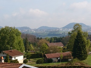
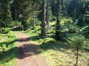
Starting from Gérardmer, the "Pearl of the Vosges," the trail first climbs towards the Champdray viewpoints and the famous Tendon waterfalls, the highest in the department, nestled in a setting of ancient fir trees. Descending towards the Moselle Valley via Pouxeux and Archettes, you'll discover a heritage linked to the traditional paper industry, before climbing back up towards the mystical Bruyères forests. The terrain then becomes more challenging towards Granges-Aumontzey, the gateway to the high Vosges pastures. The highlight of the route is at the Hohneck, the third highest peak in the massif, where chamois are often seen on the steep slopes overlooking the Alsace plain. The descent is via Xonrupt-Longemer, whose shimmering lake reflects the dark ridges.
The Vologne flows in a mountainous environment in the Vosges. The banks of the river are lined with coniferous and deciduous forests, as well as meadows. The river is also lined with numerous waterfalls. The Vologne valley is home to diverse flora and fauna. The river is an important habitat for fish, birds, mammals, and reptiles. The most common fish in the Vologne are brown trout, Atlantic salmon, and sculpin. The most common birds include the woodcock, green woodpecker, and kingfisher. The most common mammals include roe deer, wild boar, and fox. The most common reptiles include the grass snake and the asp viper.
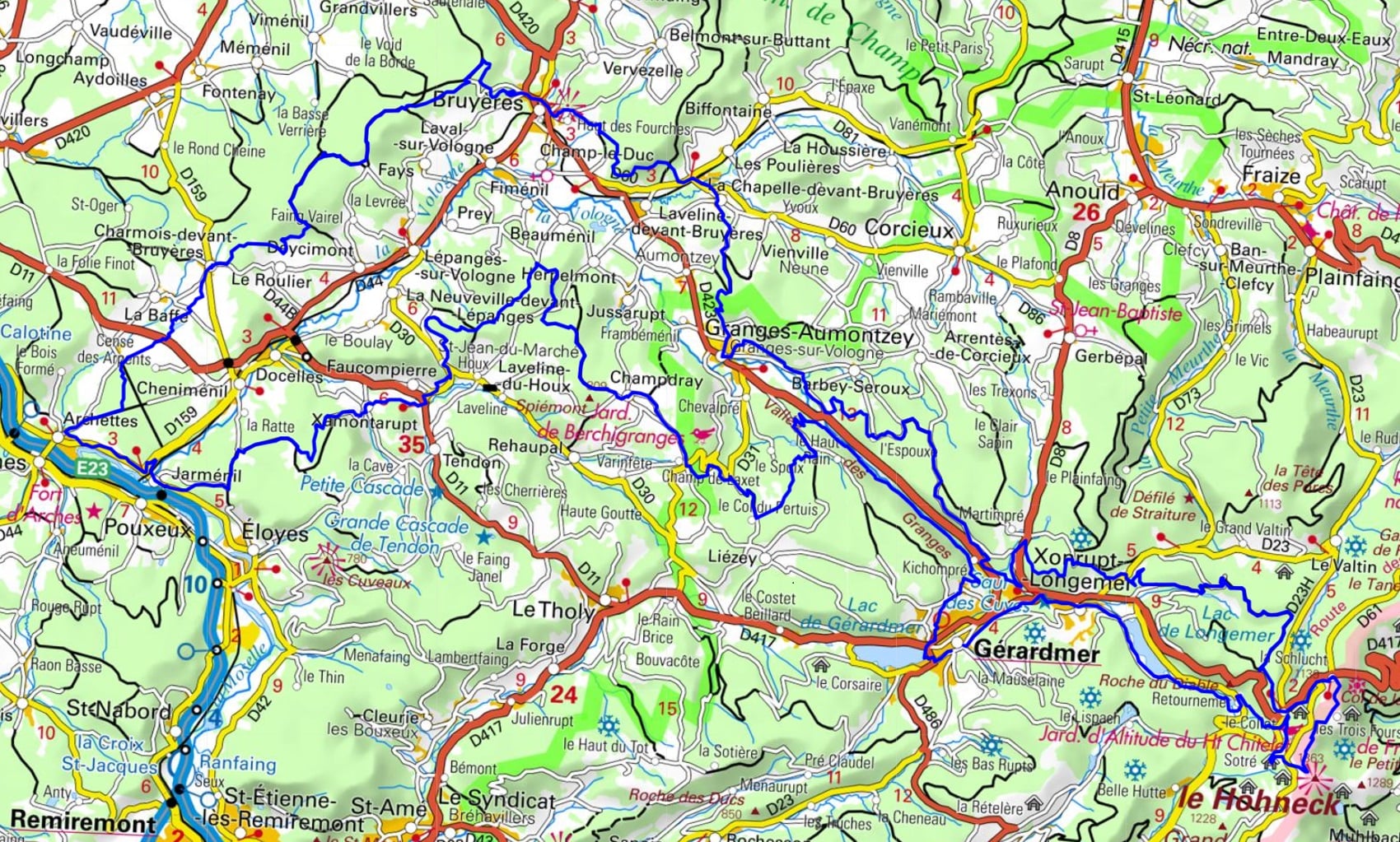
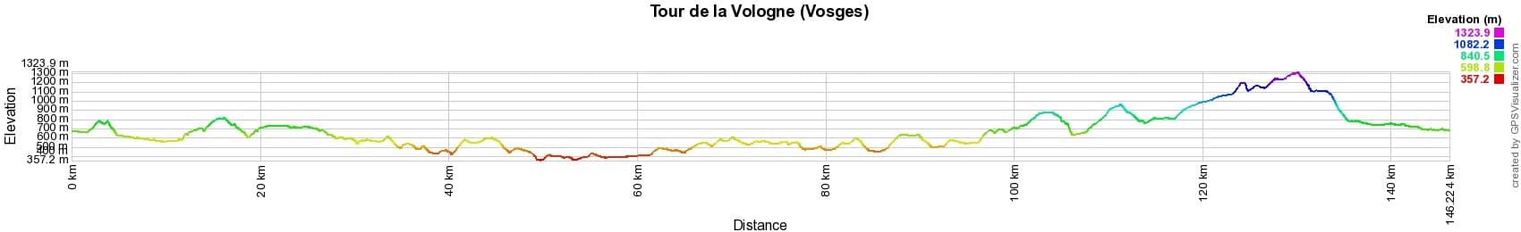
 Distance: 146km, Maximum elevation: 1324m, Minimum elevation: 357m, Total ascent: 3895m
IGN Maps: 3517SB - RAMBERVILLERS CHÂTEL-SUR-MOSELLE. 3518OT - ÉPINAL BRUYÈRES VALLÉE DE LA MOSELLE. 3617OT - SAINT-DIÉ-DES-VOSGES SENONES FRAIZE. 3618OT - GÉRARDMER LE HOHNECK LA BRESSE. 3719OT - COLMAR LE HOHNECK VALLÉE DE MUNSTER.

Nearby paths:
![]() It is advisable to follow the beacons all along your hike and to bring the FFRandonnée topo-guide. You will also find information on MonGR.fr.
It is advisable to follow the beacons all along your hike and to bring the FFRandonnée topo-guide. You will also find information on MonGR.fr.
GR®, PR®, GRP® and the corresponding markings are trademarks of the French Federation of Hiking. They may not be reproduced without permission. The French Federation of Hiking, state-approved, includes organizations that maintain hiking routes. It publishes guides for these routes. With your donations, support the actions of the thousands of volunteer markers of the FFRandonnée.
GR-Infos.com is an editorial partner of MonGR.fr.
| Return |

Former holiday hotel with a garden along the Allier, L'Etoile Guest House is located in La Bastide-Puylaurent between Lozere, Ardeche, and the Cevennes in the mountains of Southern France. At the crossroads of GR®7, GR®70 Stevenson Path, GR®72, GR®700 Regordane Way, GR®470 Allier River springs and gorges, GRP® Cevenol, Ardechoise Mountains, Margeride. Numerous loop trails for hiking and one-day biking excursions. Ideal for a relaxing and hiking getaway.
Copyright©gr-infos.com (Authorization for private use only)
To help us maintain and improve GR-Infos.com, a contribution of 2€ is desired via Wero or bank transfer. Thank you!