
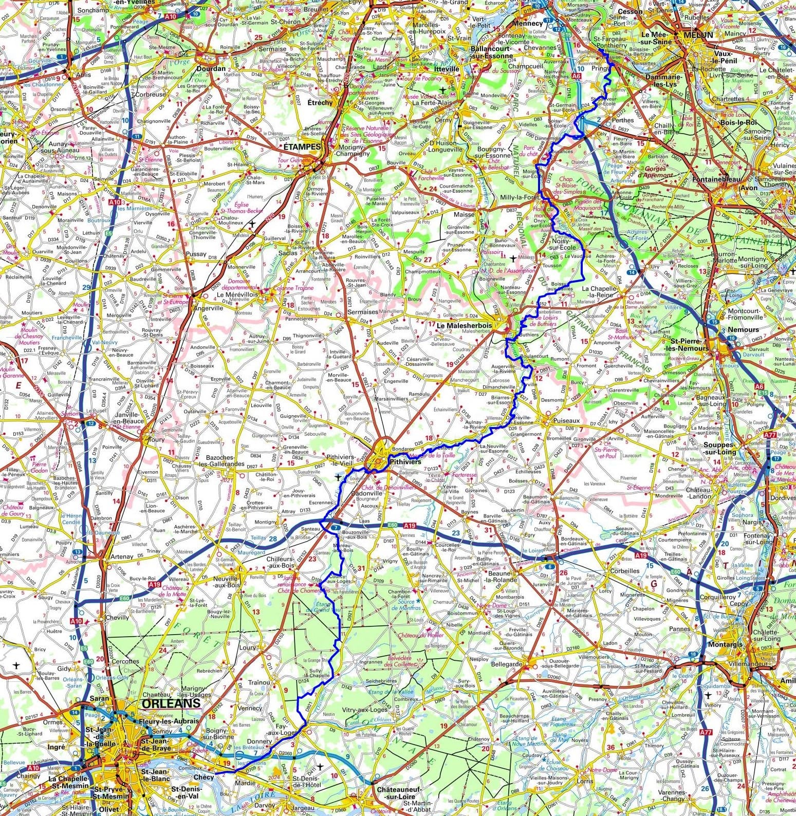
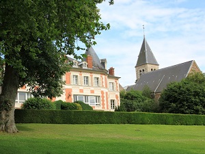
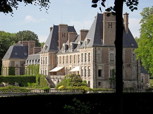
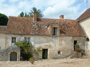
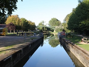
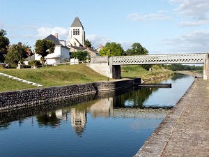
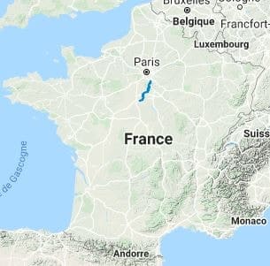
The GR®32 is a renowned long-distance hiking trail that elegantly weaves its way through the French departments of Seine-et-Marne and Loiret. The journey begins in the scenic town of Saint-Fargeau-Ponthierry, nestled in Seine-et-Marne, and culminates in the delightful town of Chécy, located in the Loiret. Covering an impressive distance of approximately 135 km, the trail meanders through a host of picturesque towns and villages, such as Courances, Milly-la-Forêt, Le Vaudoué, Buthiers, Puiseaux, La Neuville-sur-Essonne, Estouy, Pithiviers, Le Boulay, Mareau-aux-Bois, Chilleurs-aux-Bois, Sully-la-Chapelle, and Fay-aux-Loges. The GR®32 provides a rich and diverse hiking experience, unveiling a tapestry of landscapes from lush forests to tranquil lakes, interspersed with intriguing historical sites. It presents an unparalleled opportunity to immerse oneself in and appreciate the mesmerizing natural landscapes that it traverses.

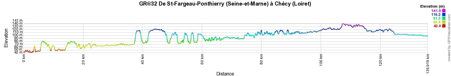
 Distance: 136km, Elevation maximum: 141m, Elevation minimum: 42m, Elevation gain uphill: 699m
IGN Maps: Pithiviers Neuville-Aux-Bois (2218E). Milly-la-Foret Malesherbes la Ferte-Alais foret des Trois Pignons Ouest (2316ET). Malesherbes Puiseaux (2318E). Evry Melun forets de Notre-Dame, de Senart and de Rougeau (2415OT). Foret de Fontainebleau (2417OT). Foret d'Orleans Massif d'Ingrannes Bellegarde (2319OT).
Nearby paths:
![]() It is advisable to follow the beacons all along your hike and to bring the FFRandonnee topo-guide. You will also find information on MonGR.fr.
It is advisable to follow the beacons all along your hike and to bring the FFRandonnee topo-guide. You will also find information on MonGR.fr.
GR®, PR®, GRP®, and the corresponding signs of markings (white/red, yellow and yellow/red) are trademarks of the French Federation of Hiking. They may not be reproduced without permission. The French Federation of Hiking, state-approved, includes organizations that create and maintain hiking routes on GR®, PR® and GRP®. It publishes guides for these topo hiking routes. With your donations, support the actions of the thousands of volunteer markers of the FFRandonnee.
GR-Infos.com is an editorial partner of MonGR.fr.
| Return |

Former holiday hotel with a garden along the Allier, L'Etoile Guest House is located in La Bastide-Puylaurent between Lozere, Ardeche, and the Cevennes in the mountains of Southern France. At the crossroads of GR®7, GR®70 Stevenson Path, GR®72, GR®700 Regordane Way, GR®470 Allier River springs and gorges, GRP® Cevenol, Ardechoise Mountains, Margeride. Numerous loop trails for hiking and one-day biking excursions. Ideal for a relaxing and hiking getaway.
Copyright©gr-infos.com (Authorization for private use only)
To help us maintain and improve GR-Infos.com, a contribution of 2€ is desired via Wero or bank transfer. Thank you!