
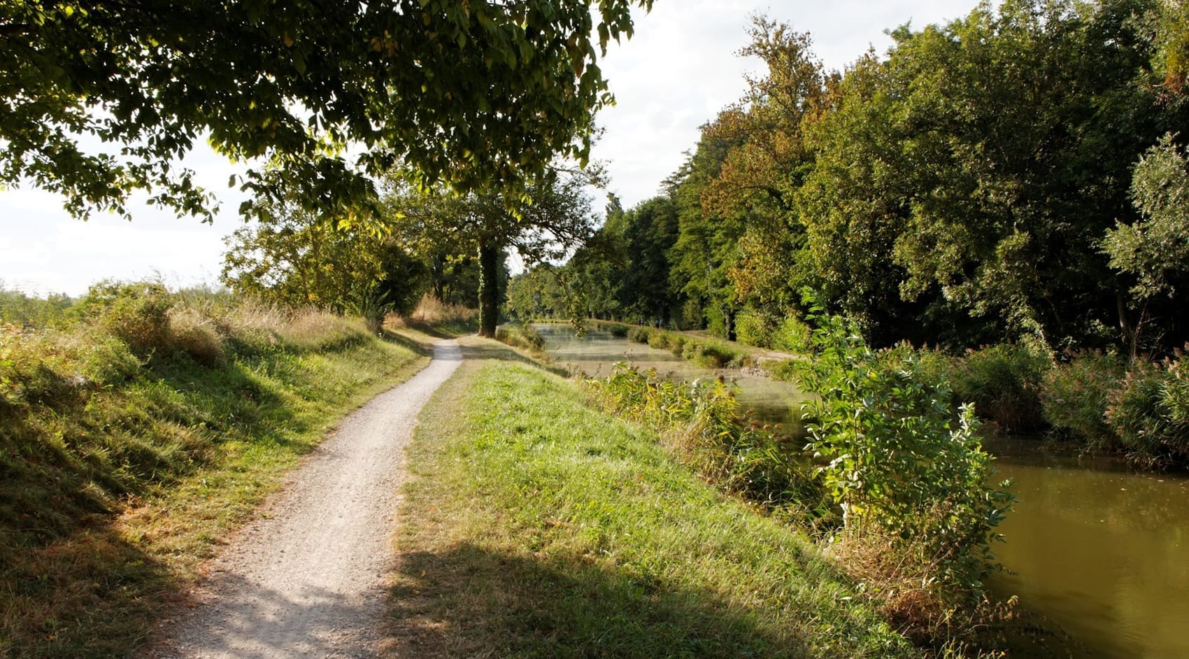
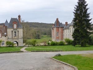
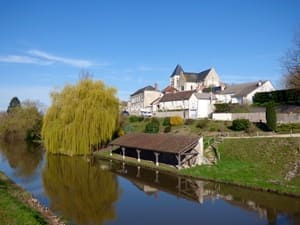
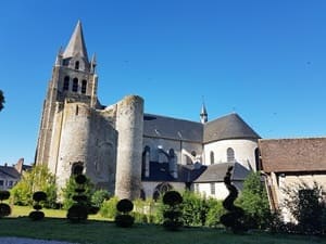
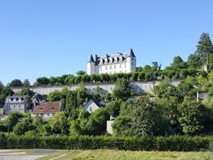
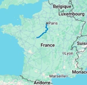
The GR655 EAST, a variant of the Via Turonensis towards Santiago de Compostela, connects the Île-de-France region to the gardens of Touraine. This historic route begins in the Yvette valley before crossing the vast grain plains of Beauce towards Étampes and Pithiviers. The landscape changes radically as you approach the Forest of Orléans, one of the largest forest massifs in France. From the medieval castle of Sully-sur-Loire to the majestic cathedrals of Orléans and Blois, hikers walk through the pages of French history. Between renowned vineyards and tuffeau stone cliffs, the trail winds its way to Vouvray, famous for its white wines and troglodyte dwellings. It is a journey where the wild nature of the Loire banks harmoniously dialogues with the splendor of Renaissance châteaux.
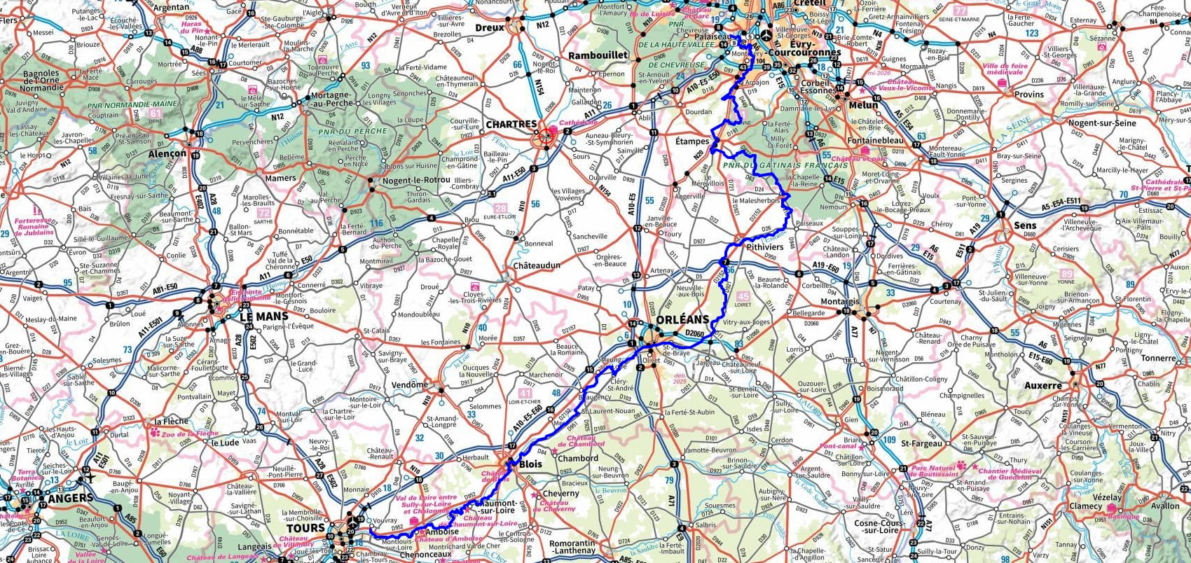
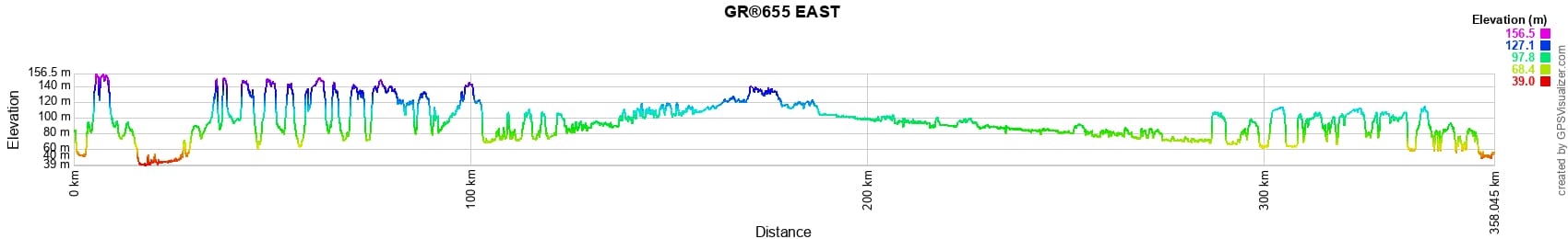
 Distance: 356km, Maximum altitude: 156m, Minimum altitude: 39m, Total ascent: 2150m
Nearby paths:
![]() It is advisable to follow the beacons throughout your itinerary and to take the Fédération Française de la Randonnée Pédestre topo-guide with you. You will also find information on MonGR.fr.
It is advisable to follow the beacons throughout your itinerary and to take the Fédération Française de la Randonnée Pédestre topo-guide with you. You will also find information on MonGR.fr.
GR®, PR®, GRP®, and the corresponding markings are trademarks of the French Federation of Hiking. They may not be reproduced without permission. The Federation creates and maintains routes on GR®, PR®, and GRP® and publishes topo-guides. Your donations support the volunteer markers.
GR-Infos.com is an editorial partner of MonGR.fr.
| Return |

Former holiday hotel with a garden along the Allier, L'Etoile Guest House is located in La Bastide-Puylaurent between Lozere, Ardeche, and the Cevennes in the mountains of Southern France. At the crossroads of GR®7, GR®70 Stevenson Path, GR®72, GR®700 Regordane Way, GR®470 Allier River springs and gorges, GRP® Cevenol, Ardechoise Mountains, Margeride. Numerous loop trails for hiking and one-day biking excursions. Ideal for a relaxing and hiking getaway.
Copyright©gr-infos.com (Authorization for private use only)
To help us maintain and improve GR-Infos.com, a contribution of 2€ is desired via Wero or bank transfer. Thank you!