
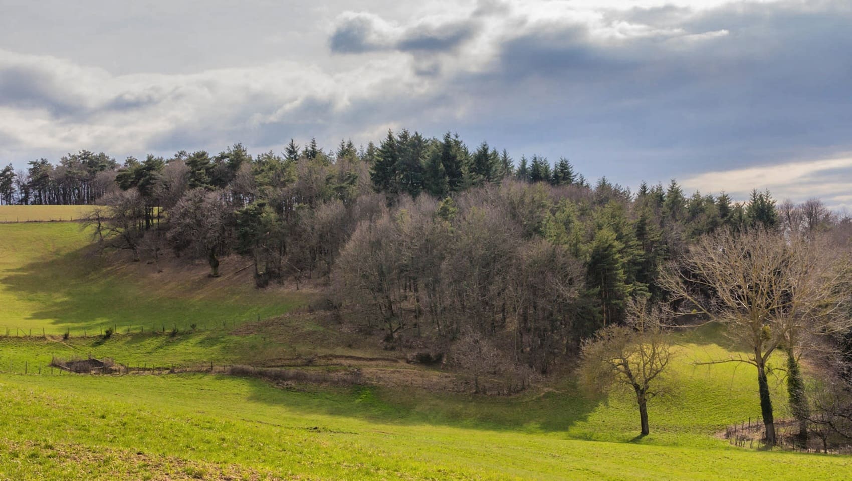
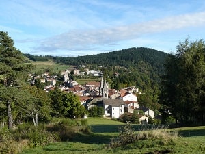
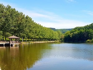
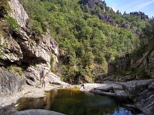
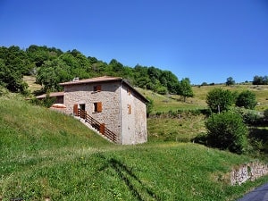
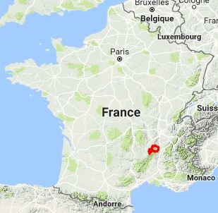
The Haut-Vivarais, a land of contrasts located north of the Ardèche, rises from the banks of the Rhône to the edge of the Massif Central's mountain range. This region, sculpted by a complex geology of granite and basalt, is defined by its wild high plateaus and steep-sided valleys, such as those of the Ay and Cance rivers. Its history is one of resistance and hard work, marked by Protestantism and an early industrial revolution linked to leather and paper production in Annonay. The built heritage is elegantly understated, featuring squat Romanesque churches, granite castles, and charming villages like Satillieu and Lalouvesc, a major pilgrimage site. Nature is omnipresent and unspoiled here, offering landscapes of dense fir forests and broom-covered heaths, where the mountain climate becomes apparent as soon as you reach the first mountain passes.
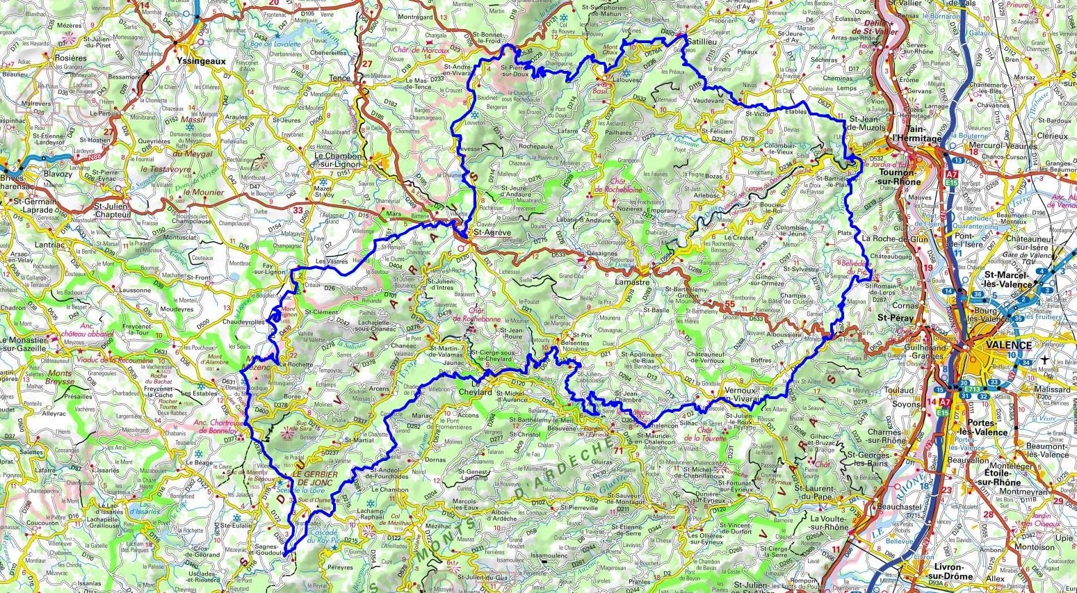
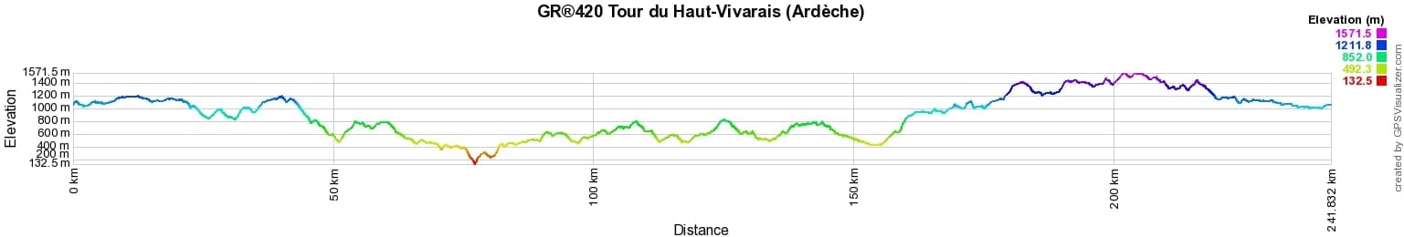
 Distance: 234.03km, Elevation maximum: 1573m, Elevation minimum: 139m, Elevation gain uphill: 7084m
IGN Maps: Satillieu (2935E). Le Chambon-sur-Lignon St-Agreve (2935OT). Lamastre (2936E). Tournon-sur-Rhone (3035O). St-Peray (3036O). Gerbier de Jonc Mezenc Vivarais (2836OT). Lac d'Issarles Thueyts Sources de la Loire (2837OT). Le Cheylard (2936O).
Nearby paths:
![]() It is advisable to follow the beacons throughout your itinerary and to bring the Fédération Française de la Randonnée Pédestre topo-guide with you. You will also find information on MonGR.fr.
It is advisable to follow the beacons throughout your itinerary and to bring the Fédération Française de la Randonnée Pédestre topo-guide with you. You will also find information on MonGR.fr.
GR®, PR®, GRP®, and the corresponding signs of markings (white / red, yellow and yellow / red) are trademarks of the French Federation of Hiking. They may not be reproduced without permission. The French Federation of Hiking, state-approved, includes organizations that create and maintain hiking routes on GR®, PR®, and GRP®. It publishes guides for these topo hiking routes. With your donations, you support the actions of the thousands of FFRandonnée volunteer markers.
GR-Infos.com is an editorial partner of MonGR.fr.
| Return |

Former holiday hotel with a garden along the Allier, L'Etoile Guest House is located in La Bastide-Puylaurent between Lozere, Ardeche, and the Cevennes in the mountains of Southern France. At the crossroads of GR®7, GR®70 Stevenson Path, GR®72, GR®700 Regordane Way, GR®470 Allier River springs and gorges, GRP® Cevenol, Ardechoise Mountains, Margeride. Numerous loop trails for hiking and one-day biking excursions. Ideal for a relaxing and hiking getaway.
Copyright©gr-infos.com (Authorization for private use only)
To help us maintain and improve GR-Infos.com, a contribution of 2€ is desired via Wero or bank transfer. Thank you!