
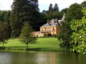
Starting from Vouziers, the trail heads towards Voncq and Bairon before entering the Ardennes hills via Grandpré, home to a Renaissance castle. Crossing into the Meuse department, hikers pass through Varennes-en-Argonne—a significant site in French history—and Clermont-en-Argonne, which overlooks the surrounding plain. Beaulieu-en-Argonne, a picturesque hilltop village, offers breathtaking views of the vast forest massif. The region's rich heritage is further revealed in the typical villages of Èvres and Givry-en-Argonne, leading up to Sainte-Menehould, a town of character and the birthplace of the famous "pig's trotter" dish. The forest crossing continues through Florent-en-Argonne and Vienne-le-Château. Between the Aisne and Aire rivers, wild nature reclaims its dominance, showcasing remarkable biodiversity that includes red deer and black storks. The journey concludes via Servon-Melzicourt and Olizy-Primat, completing a loop defined by resilience and raw beauty.
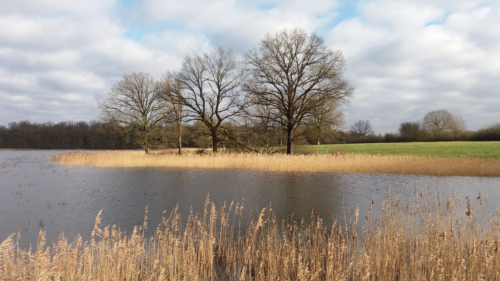
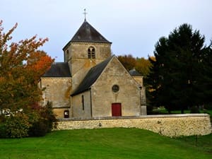
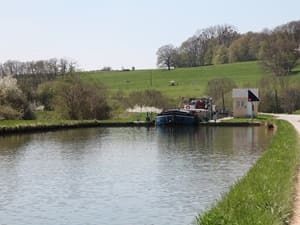
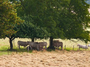
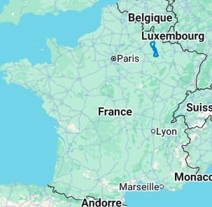
The Argonne is a vast forest massif straddling the Marne, Meuse, and Ardennes departments. It is a land of silence and mystery shaped by its unique "gaize" geology (a siliceous sedimentary rock). Its landscapes are characterized by impenetrable wooded ridges, deep valleys, and numerous ponds that form an exceptional refuge for biodiversity, particularly for red deer and migratory birds. Historically, this natural region served as a protective barrier for France. It was the setting for the famous Battle of Valmy in 1792, where the eponymous windmill remains a symbol of the Republic. The Argonne's heritage is also marked by the indelible scars of the Great War, such as at Haute-Chevauchée or the Ravin du Génie, where nature has now overgrown the mine craters. Local architecture is showcased in charming villages featuring half-timbered houses and local stone churches, prominently seen in Sainte-Menehould. The glass-making tradition, which once flourished thanks to the abundance of wood and sand, has given way to discreet artistic craftsmanship and tourism focused on memory and nature. With hiking trails winding beneath tall trees and exceptional bird-watching sites, the Argonne offers a wild and authentic escape. This relatively unknown territory remains one of the most preserved green lungs in Eastern France.
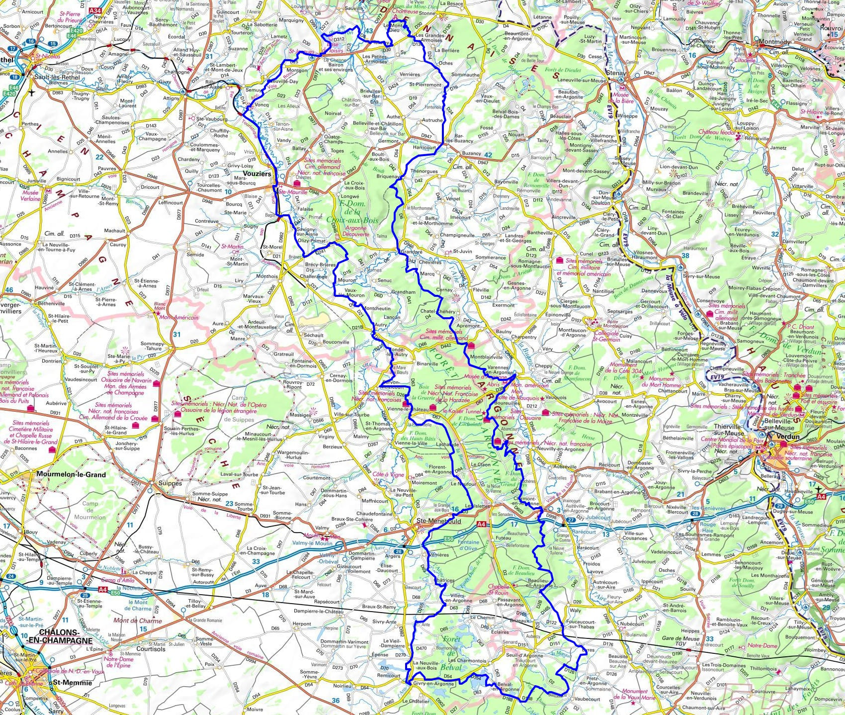
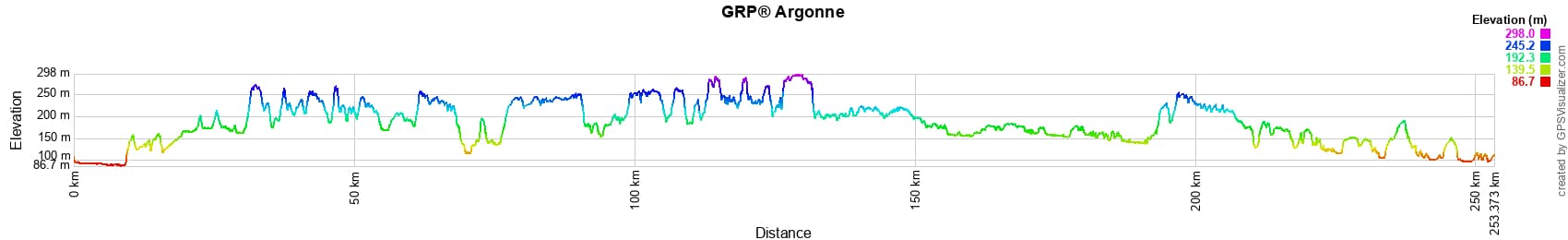
 Distance: 253km (157 miles), Max altitude: 296m, Min altitude: 87m, Total elevation gain: 2591m
Nearby paths:
![]() It is advisable to follow the beacons all along your hike and to bring the FFRandonnée topo-guide. You will also find information on MonGR.fr.
It is advisable to follow the beacons all along your hike and to bring the FFRandonnée topo-guide. You will also find information on MonGR.fr.
GR®, PR®, GRP® and the corresponding markings are trademarks of the French Federation of Hiking. They may not be reproduced without permission. The French Federation of Hiking, state-approved, includes organizations that maintain hiking routes. It publishes guides for these routes. With your donations, support the actions of the thousands of volunteer markers of the FFRandonnée.
GR-Infos.com is an editorial partner of MonGR.fr.
| Return |

Former holiday hotel with a garden along the Allier, L'Etoile Guest House is located in La Bastide-Puylaurent between Lozere, Ardeche, and the Cevennes in the mountains of Southern France. At the crossroads of GR®7, GR®70 Stevenson Path, GR®72, GR®700 Regordane Way, GR®470 Allier River springs and gorges, GRP® Cevenol, Ardechoise Mountains, Margeride. Numerous loop trails for hiking and one-day biking excursions. Ideal for a relaxing and hiking getaway.
Copyright©gr-infos.com (Authorization for private use only)
To help us maintain and improve GR-Infos.com, a contribution of 2€ is desired via Wero or bank transfer. Thank you!