
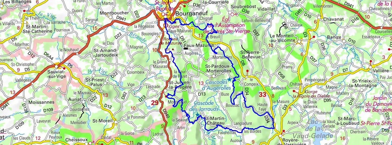
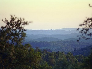
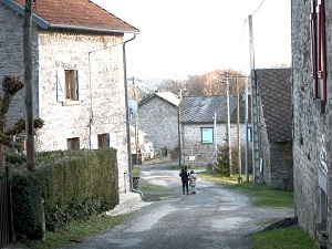
Starting from the medieval town of Bourganeuf, a former Hospitaller commandery, this captivating trail first crosses the sweeping Chadoulénas and Chignat moors, offering vibrant landscapes of heather and gorse that are highly typical of the Limousin region. Heading steadily towards Morterolles, walkers quickly discover unspoiled nature where deep peat bogs—acting as veritable natural sponges—safely shelter rare and fragile flora. A major highlight is Saint-Martin-Château, featuring a spectacular, roaring waterfall gracefully cascading from the very heart of a dense forest filled with centuries-old beech and oak trees. The region's rich built heritage is beautifully revealed in the rustic hamlets of L'Age and Montayaud, where sturdy granite houses and old stone bridges bear quiet witness to a deeply rooted, centuries-old rural life. Between striking rocky outcrops and steep-sided valleys, the route peacefully follows the gentle murmur of the Maulde's clear waters, offering constant, refreshing coolness beneath the dense, leafy canopy.
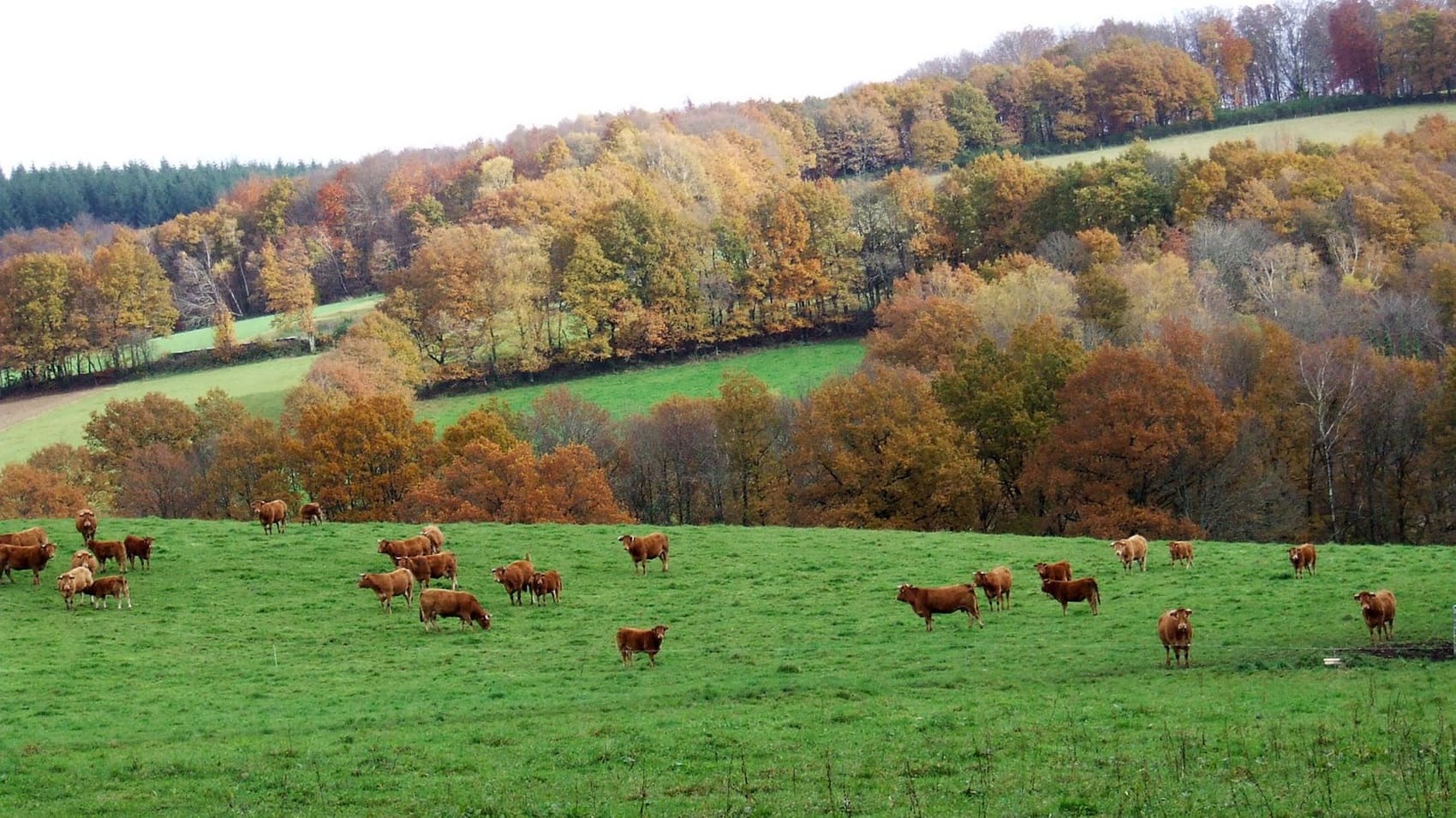
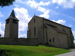
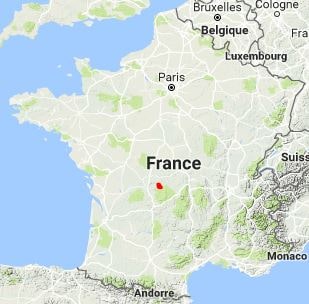
The Land of Waterfalls, Moors, and Peat Bogs, ideally located in the south of the Creuse department, is a beautifully wild territory where flowing water and solid granite seamlessly shape landscapes of raw, natural poetry. This expansive plateau in the ancient Limousin mountains, widely known as a land of legend, is home to truly exceptional natural sites such as the impressive Jarrauds Waterfall. Notably, its hydroelectric power innovatively enabled the early electrification of the village of Saint-Martin-Château as early as the late 19th century. The ancient peat bogs, acting as veritable living climate archives, stretch endlessly between the flowering heathlands, offering a highly precious refuge to rare, delicate flora such as the carnivorous sundew. The built heritage, clearly marked by the renowned, masterful stonemasons of the Creuse, is powerfully revealed through austere granite churches and charming, traditional villages capped with classic slate roofs. The rich history here is undoubtedly that of a tenacious, hardworking peasantry, permanently etched into the rustic dry-stone walls that carefully delineate the green pastures.
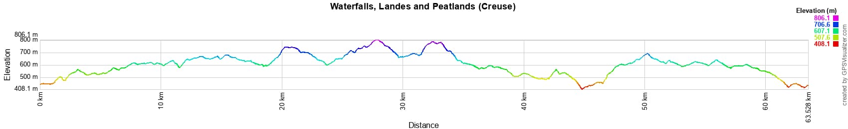
 Distance: 63km, Elevation maximum: 810m, Elevation minimum: 415m, Elevation gain uphill: 1628m
IGN Maps: Bourganeuf - 2130E. Eymoutiers - 2131E. Pontarion Sardent - 2230O. Royere-De-Vassiviere - 2231O.
|
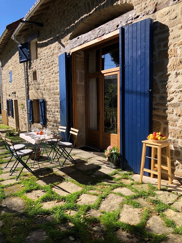
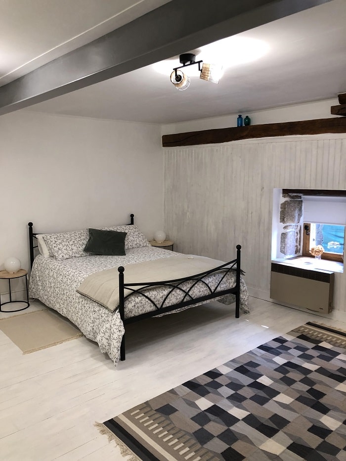
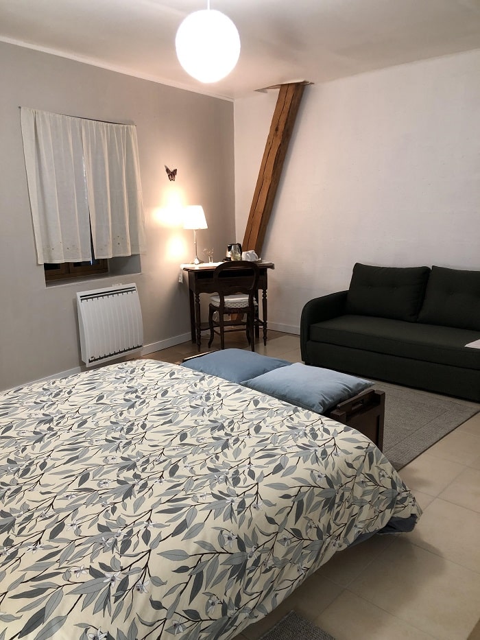
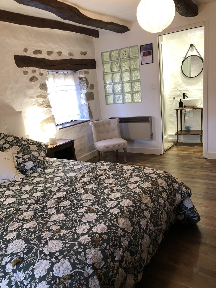
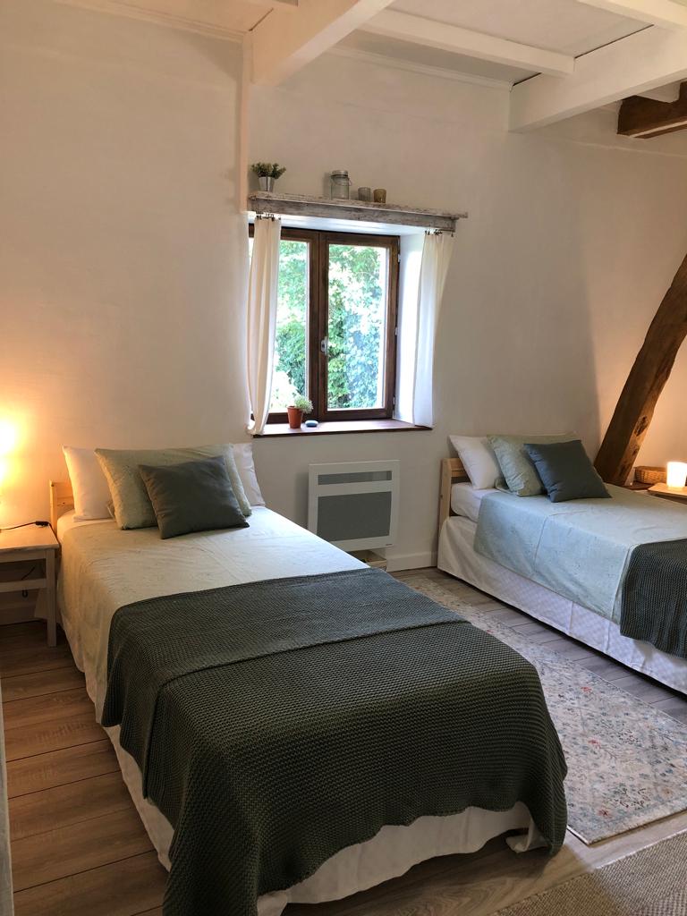
Chignat (Soubrebost): Els Pomers Guest house, M. Christopher Geatrell, 06 01 97 66 41, Email. |
|
Nearby paths:
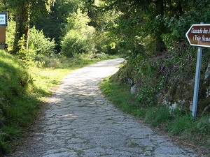
![]() It is advisable to follow the beacons all along your hike and to bring the FFRandonnée topo-guide. You will also find information on MonGR.fr.
It is advisable to follow the beacons all along your hike and to bring the FFRandonnée topo-guide. You will also find information on MonGR.fr.
GR®, PR®, GRP® and the corresponding markings are trademarks of the French Federation of Hiking. They may not be reproduced without permission. The French Federation of Hiking, state-approved, includes organizations that maintain hiking routes. It publishes guides for these routes. With your donations, support the actions of the thousands of volunteer markers of the FFRandonnée.
GR-Infos.com is an editorial partner of MonGR.fr.
| Return |

Former holiday hotel with a garden along the Allier, L'Etoile Guest House is located in La Bastide-Puylaurent between Lozere, Ardeche, and the Cevennes in the mountains of Southern France. At the crossroads of GR®7, GR®70 Stevenson Path, GR®72, GR®700 Regordane Way, GR®470 Allier River springs and gorges, GRP® Cevenol, Ardechoise Mountains, Margeride. Numerous loop trails for hiking and one-day biking excursions. Ideal for a relaxing and hiking getaway.
Copyright©gr-infos.com (Authorization for private use only)
To help us maintain and improve GR-Infos.com, a contribution of 2€ is desired via Wero or bank transfer. Thank you!