
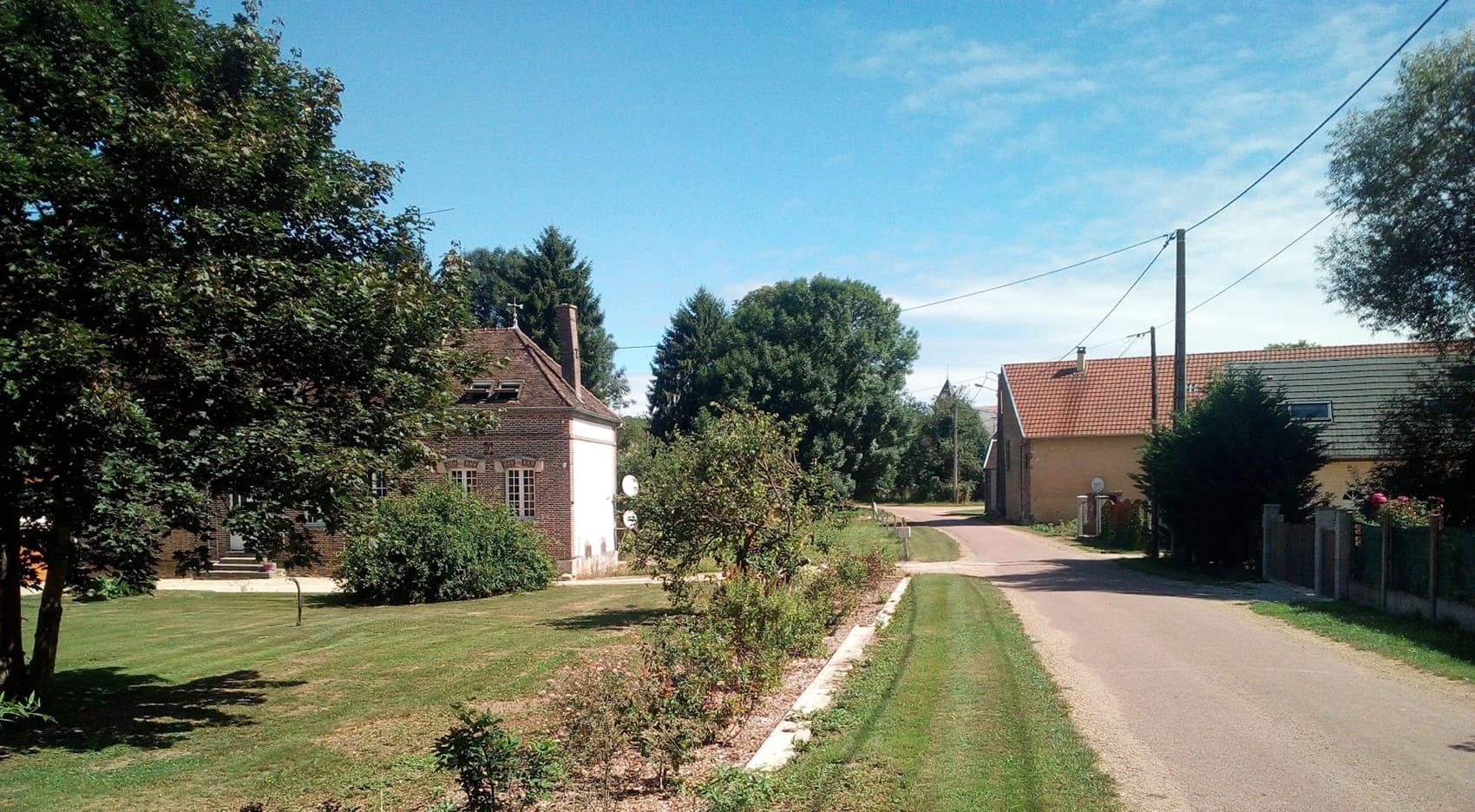
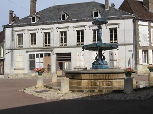
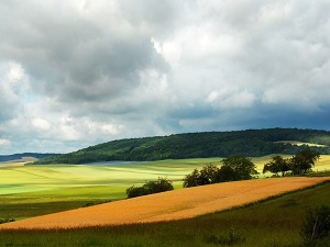
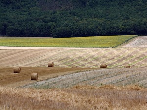
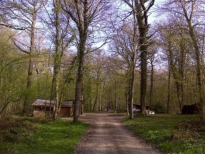
This cider trail, starting in Saint-Mards-en-Othe, winds through a rolling landscape where vast deciduous forests alternate with traditional apple orchards, the cornerstones of an age-old cider-making tradition. Passing through Maraye-en-Othe and Eaux-Puiseaux, hikers discover an authentic rural heritage, marked by half-timbered churches and old cider presses that bear witness to the richness of this terroir. In Vosnon and Nogent-en-Othe, nature reclaims its territory with sunken lanes bordered by hedgerows, havens for preserved biodiversity. This route, a true link between forestry history and farming traditions, invites leisurely strolls as much as tasting. It's a sensory hike where the murmur of springs and the changing colors of the hills celebrate the gentle pace of life in a lesser-known Champagne region.
Straddling the Aube and Yonne departments, the Pays d'Othe is a hidden gem where vast deciduous forests intertwine with chalky hills. This green lung, located at the gateway to Champagne, is distinguished by its cider-making heritage, with orchards shaping bucolic and colorful landscapes. History is etched in the typical brick and flint architecture, as well as in the churches with their remarkable 16th-century stained-glass windows. Nature reigns supreme here, offering hikers shaded trails through the national forest, a haven for protected wildlife. Between the medieval market halls of Ervy-le-Châtel and the crystal-clear springs that irrigate the valleys, absolute tranquility prevails.
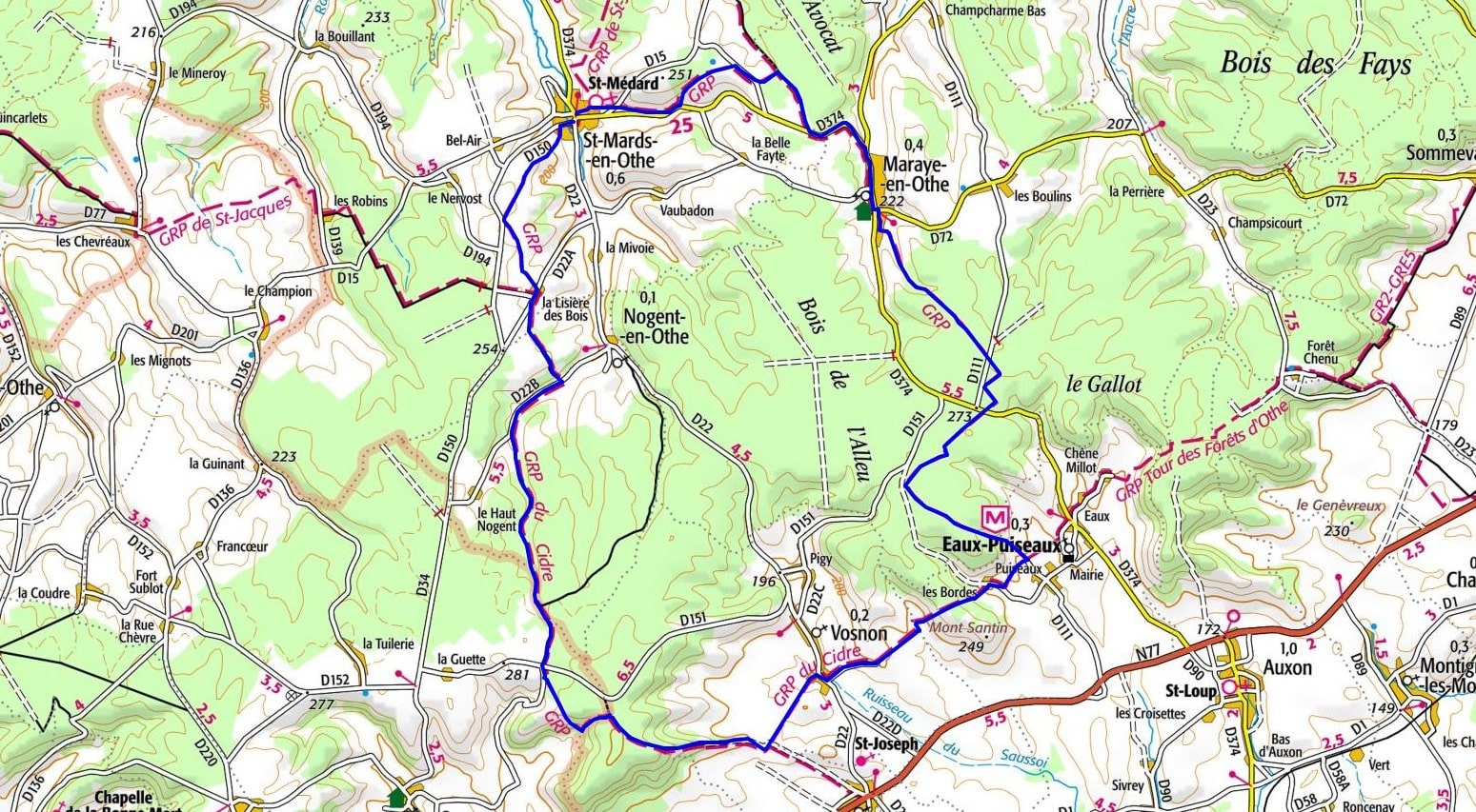
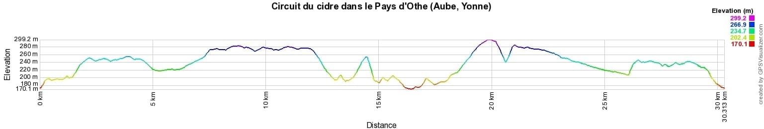
 Distance: 30km, Elevation maximum: 299m, Elevation minimum: 170m, Elevation gain uphill: 457m
IGN Maps: 2718SB - AUXON RIGNY-LE-FERRON.

Nearby paths:
![]() It is advisable to follow the beacons all along your hike and to bring the FFRandonnée topo-guide. You will also find information on MonGR.fr.
It is advisable to follow the beacons all along your hike and to bring the FFRandonnée topo-guide. You will also find information on MonGR.fr.
GR®, PR®, GRP® and the corresponding markings are trademarks of the French Federation of Hiking. They may not be reproduced without permission. The French Federation of Hiking, state-approved, includes organizations that maintain hiking routes. It publishes guides for these routes. With your donations, support the actions of the thousands of volunteer markers of the FFRandonnée.
GR-Infos.com is an editorial partner of MonGR.fr.
| Return |

Former holiday hotel with a garden along the Allier, L'Etoile Guest House is located in La Bastide-Puylaurent between Lozere, Ardeche, and the Cevennes in the mountains of Southern France. At the crossroads of GR®7, GR®70 Stevenson Path, GR®72, GR®700 Regordane Way, GR®470 Allier River springs and gorges, GRP® Cevenol, Ardechoise Mountains, Margeride. Numerous loop trails for hiking and one-day biking excursions. Ideal for a relaxing and hiking getaway.
Copyright©gr-infos.com (Authorization for private use only)
To help us maintain and improve GR-Infos.com, a contribution of 2€ is desired via Wero or bank transfer. Thank you!