
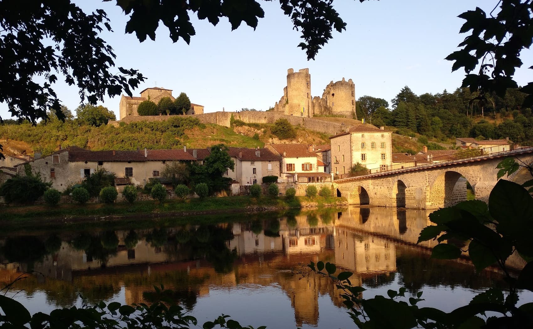
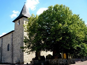
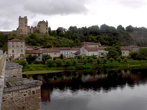
Starting from Brillac, the trail passes through charming hamlets like La Digardèche and Villeflayoux, where the rural stone architecture bears witness to a flourishing agricultural past. The religious and castle heritage is strongly evident in Saint-Christophe, renowned for its Romanesque church, and especially in Saint-Germain-de-Confolens. Here, the majestic ruins of its medieval castle overlook the confluence of the Vienne and Issoire rivers, offering a striking historical panorama. In Esse, the heritage comes alive with its reconstructed Gallic village, recalling the ancient roots of this wooded area. Between the Laffy valleys and the banks of the Vienne, each stage of this circuit around the Mandragore reveals a hidden France, where ancient stones tell the stories of lords and peasants of yesteryear.
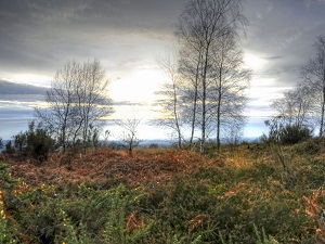
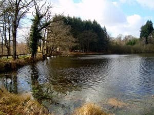
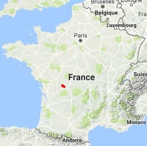
La Mandragore is a secluded area, nestled at the crossroads of the Charente and Haute-Vienne departments, marking the gentle transition between Limousin and Poitou. This region is characterized by a landscape of dense hedgerows, rolling hills, and vast deciduous forests, crisscrossed by numerous small streams that foster a peaceful rural atmosphere. The area is renowned for its medieval architectural heritage, particularly its Romanesque churches and castles that dot the verdant valleys. Livestock farming is a dominant activity, perpetuating centuries-old agricultural traditions in a pristine environment.
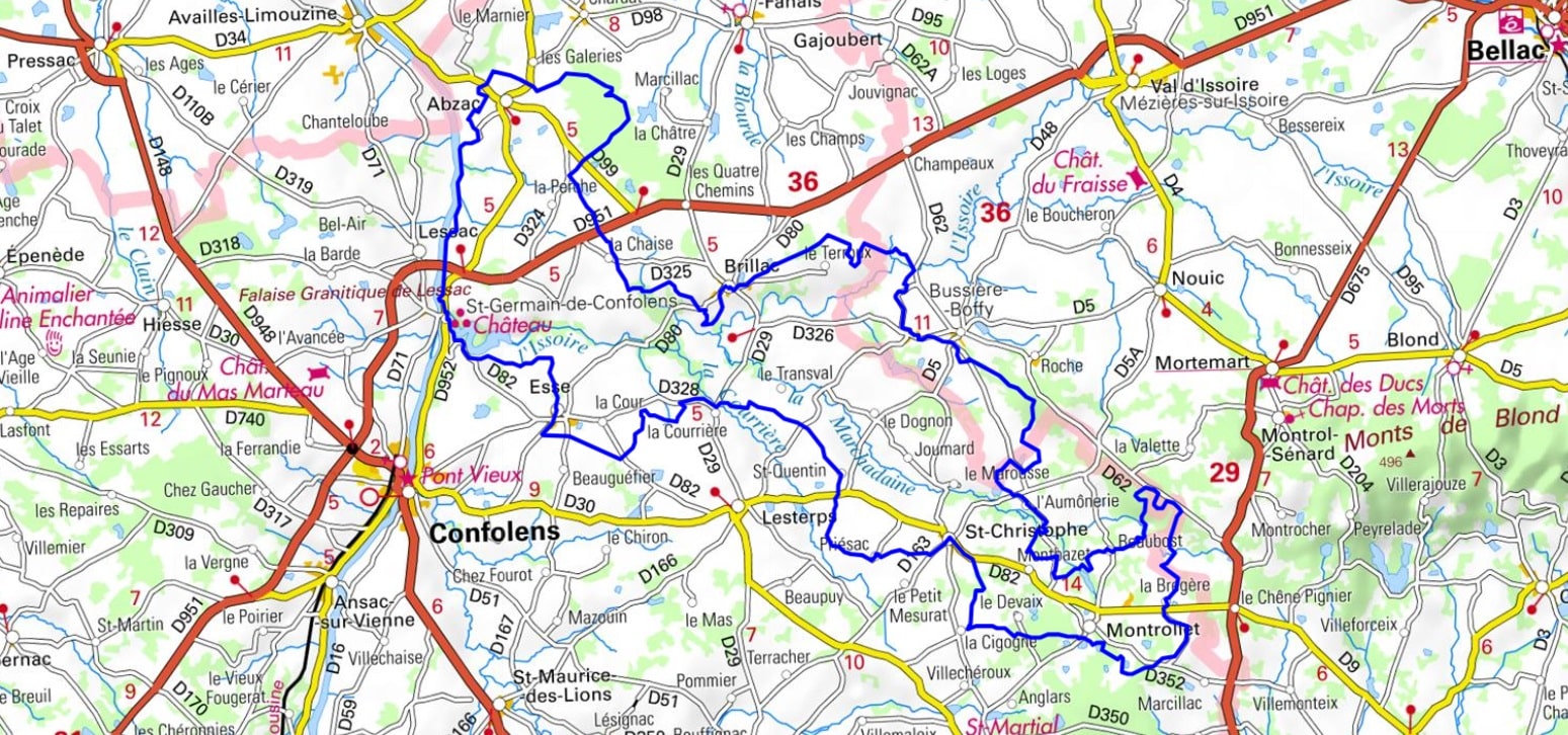
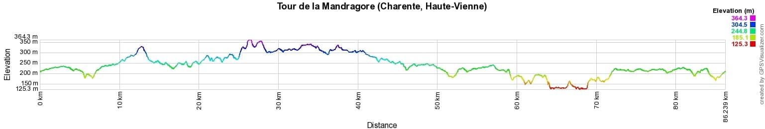
 Distance: 94km, Elevation maximum: 365m, Elevation minimum: 128m, Elevation gain uphill: 956m
IGN Maps: L'Isle-Jourdain (Vienne) (1829E). Oradour-sur-Glane (1930E). Brigueuil (1930O).
Nearby paths:
![]() It is advisable to follow the beacons all along your hike and to bring the FFRandonnée topo-guide. You will also find information on MonGR.fr.
It is advisable to follow the beacons all along your hike and to bring the FFRandonnée topo-guide. You will also find information on MonGR.fr.
GR®, PR®, GRP® and the corresponding markings are trademarks of the French Federation of Hiking. They may not be reproduced without permission. The French Federation of Hiking, state-approved, includes organizations that maintain hiking routes. It publishes guides for these routes. With your donations, support the actions of the thousands of volunteer markers of the FFRandonnée.
GR-Infos.com is an editorial partner of MonGR.fr.
| Return |

Former holiday hotel with a garden along the Allier, L'Etoile Guest House is located in La Bastide-Puylaurent between Lozere, Ardeche, and the Cevennes in the mountains of Southern France. At the crossroads of GR®7, GR®70 Stevenson Path, GR®72, GR®700 Regordane Way, GR®470 Allier River springs and gorges, GRP® Cevenol, Ardechoise Mountains, Margeride. Numerous loop trails for hiking and one-day biking excursions. Ideal for a relaxing and hiking getaway.
Copyright©gr-infos.com (Authorization for private use only)
To help us maintain and improve GR-Infos.com, a contribution of 2€ is desired via Wero or bank transfer. Thank you!