
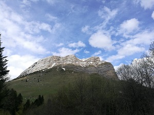
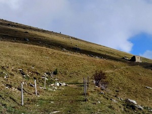
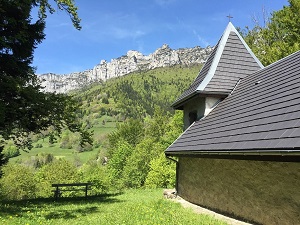
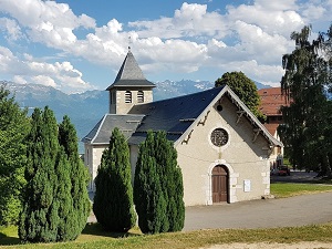
Perched above the Grésivaudan Valley, the trail offers a spectacular immersion between the cliffs of the Chartreuse Mountains and the Belledonne massif. Starting from Saint-Pancrasse, the route crosses the hamlets of Tournoud and Meunières, where traditional stone architecture bears witness to centuries of mountain life. On the way to Saint-Michel and Saint-Bernard du Touvet, hikers wander through beech forests and high-altitude meadows. Heritage is revealed through old mills and village fountains, reflections of an age-old water management tradition. The trail then reaches the Gaudes area before arriving in Saint-Hilaire, famous for its historic funicular. Passing by the locality of Le Vieux Frêne (The Old Ash Tree), remarkable trees stand guard facing the peaks of the Dent de Crolles. This natural balcony was once a haven for sanatoriums thanks to its pure air.
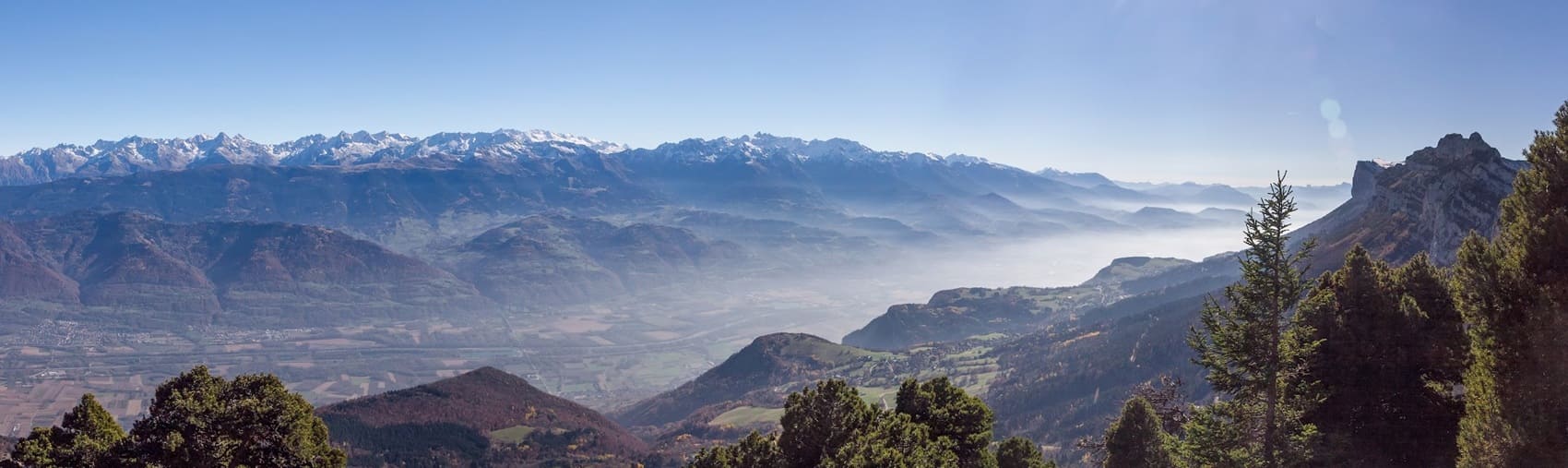
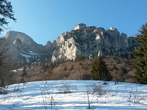
The Plateau des Petites Roches is a spectacular natural terrace nestled on the eastern slopes of the Chartreuse massif in Isère, overlooking the Grésivaudan valley. The landscape is striking, formed by the immense limestone wall of the massif on one side and the panoramic view of the Belledonne massif on the other. The plateau's history is marked by its relative isolation, broken by the construction of the Saint-Hilaire-du-Touvet funicular, which opened the site to tourism and sanatoriums. The flora is rich, combining coniferous forests on the slopes (fir and spruce) with high-altitude meadows and species typical of limestone soils. The fauna is that of the pre-Alpine environment, with chamois on the steep cliffs and numerous birds of prey taking advantage of the updrafts for free flight, making the plateau a unique and breathtaking place.
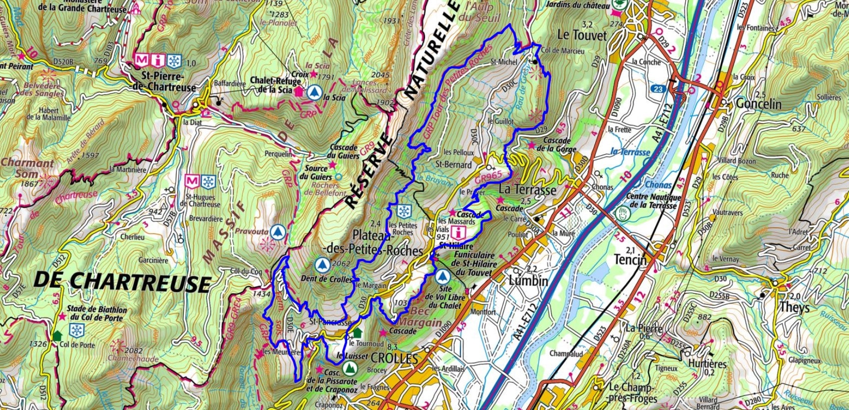
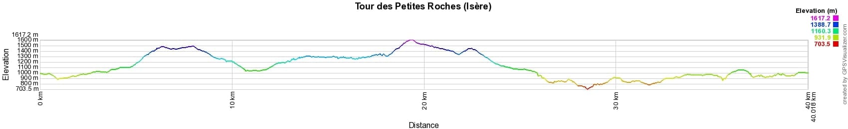
 Distance: 40km, Elevation maximum: 1625m, Elevation minimum: 682m, Elevation gain uphill: 2698m
IGN Map: Massif de la Chartreuse Sud Saint-Pierre-De-Chartreuse Villard-Bonnot - 3334OT.
Nearby paths:
![]() It is advisable to follow the beacons all along your hike and to bring the FFRandonnée topo-guide. You will also find information on MonGR.fr.
It is advisable to follow the beacons all along your hike and to bring the FFRandonnée topo-guide. You will also find information on MonGR.fr.
GR®, PR®, GRP® and the corresponding markings are trademarks of the French Federation of Hiking. They may not be reproduced without permission. The French Federation of Hiking, state-approved, includes organizations that maintain hiking routes. It publishes guides for these routes. With your donations, support the actions of the thousands of volunteer markers of the FFRandonnée.
GR-Infos.com is an editorial partner of MonGR.fr.
| Return |

Former holiday hotel with a garden along the Allier, L'Etoile Guest House is located in La Bastide-Puylaurent between Lozere, Ardeche, and the Cevennes in the mountains of Southern France. At the crossroads of GR®7, GR®70 Stevenson Path, GR®72, GR®700 Regordane Way, GR®470 Allier River springs and gorges, GRP® Cevenol, Ardechoise Mountains, Margeride. Numerous loop trails for hiking and one-day biking excursions. Ideal for a relaxing and hiking getaway.
Copyright©gr-infos.com (Authorization for private use only)
To help us maintain and improve GR-Infos.com, a contribution of 2€ is desired via Wero or bank transfer. Thank you!