
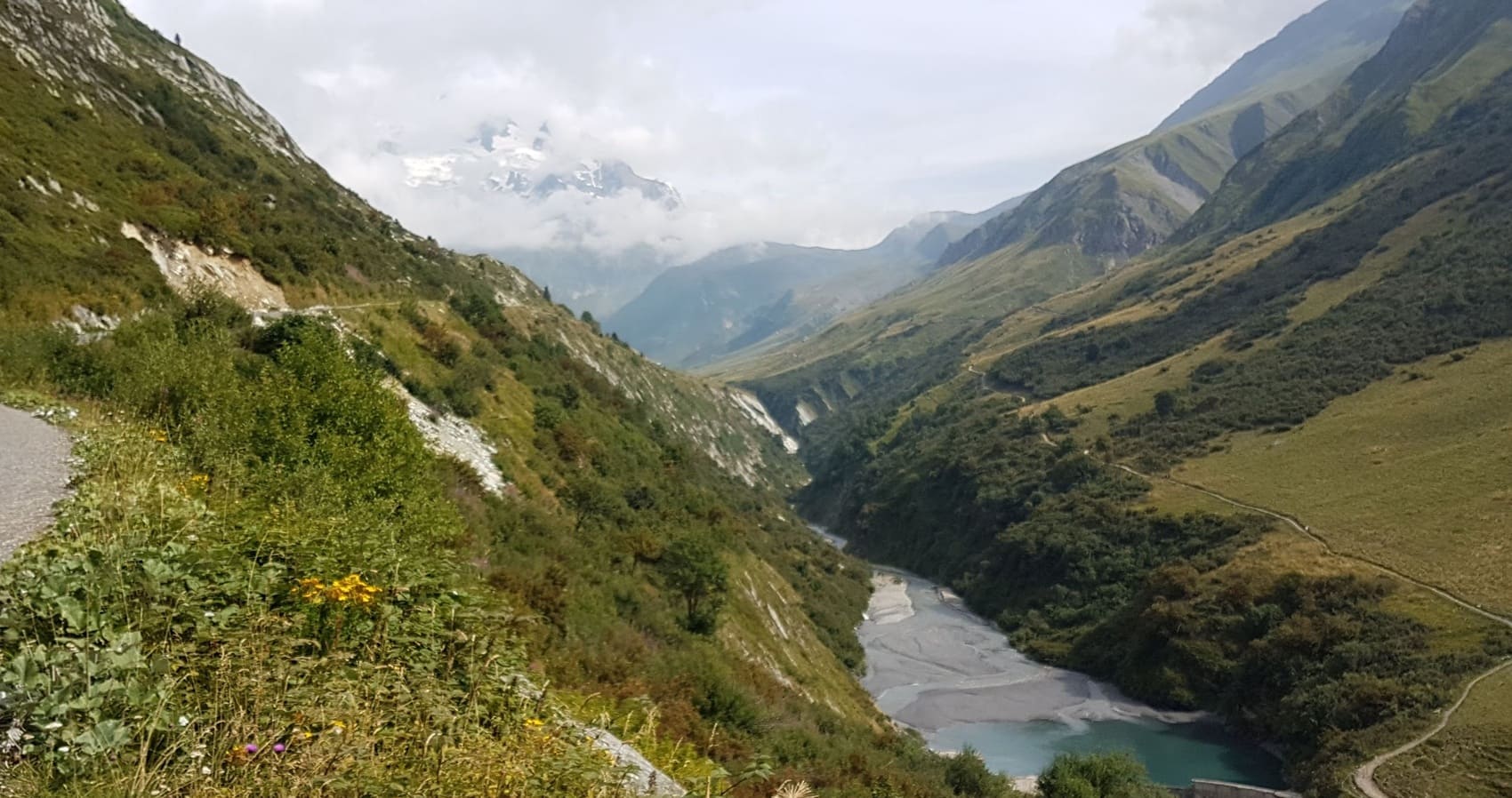
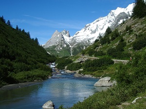
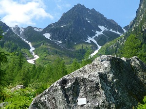
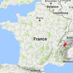
Starting from Les Houches, the trail initially climbs towards the Brévent, offering a unique panoramic view of the glaciers, before descending into Valais via the Col de Balme and the charming village of Trient. Skirting the massif through Champex-Lac and the Val Ferret, the scenery changes dramatically, revealing the steep and majestic Italian side above Courmayeur. Crossing the Col de la Seigne marks the return to France and the wild atmosphere of the Val des Glaciers, where the pastoral heritage of the Beaufortain region is expressed through centuries-old alpine farms. The descent then crosses the formidable Col du Bonhomme to reach the Roman road of Notre-Dame de la Gorge and the village of Les Contamines-Montjoie. Between the larch forests of Bionnassay and the airy ridges, nature unfolds in all its power, sheltering ibex and golden eagles at the foot of the snow-capped peaks.
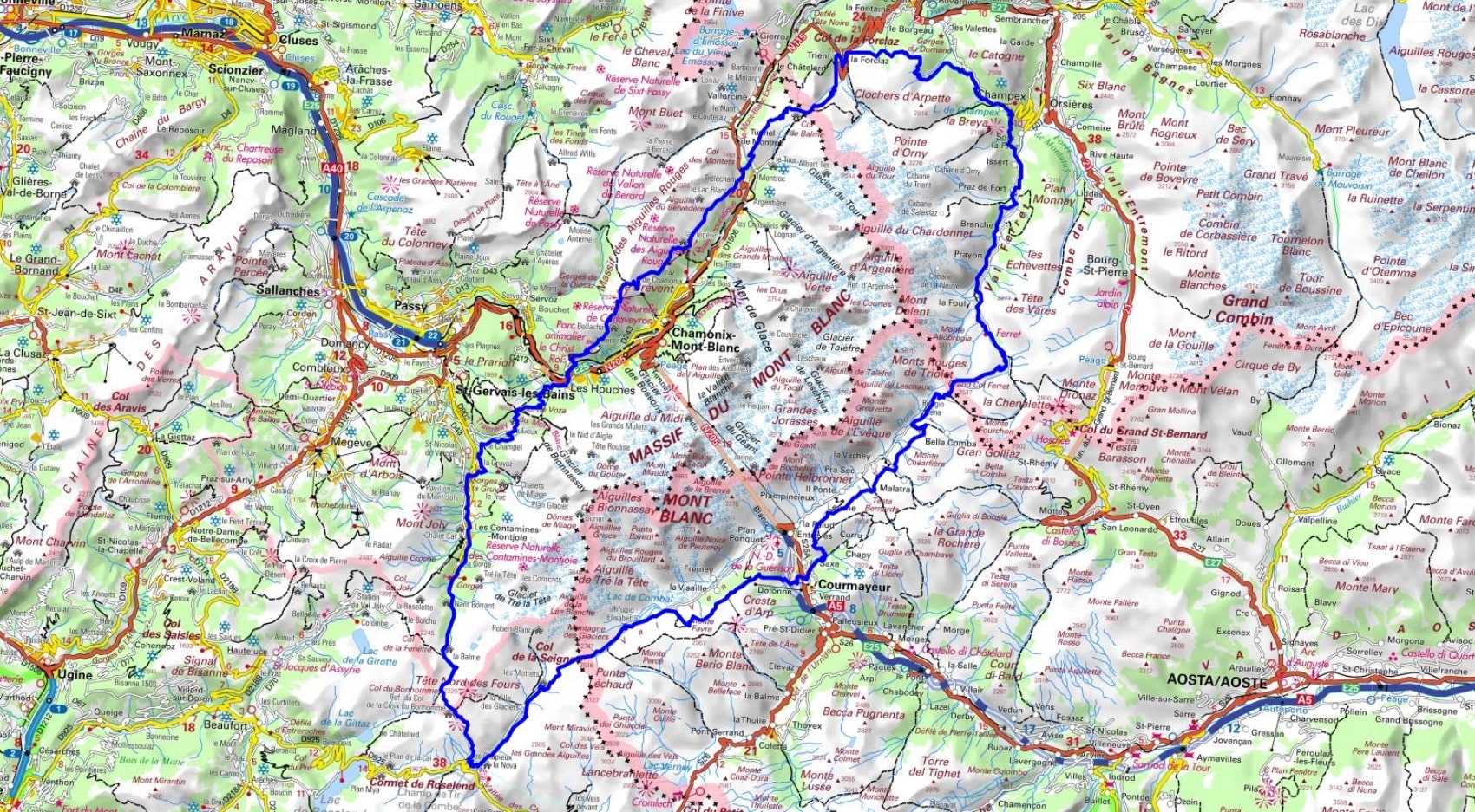
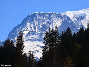
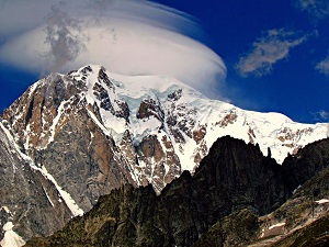
Mont Blanc, also known as Monte Bianco in Italian, is a majestic peak that dominates the border between France, Italy, and Switzerland. At 4,807 meters (15,776 feet), it is the highest mountain in the Alps and Western Europe. The surrounding region, known as the Mont Blanc massif, is a UNESCO World Heritage Site and is home to a number of glacial valleys, lakes, and forests. Mont Blanc is located in the Mont Blanc massif, which is a group of mountains that spans France, Italy, and Switzerland. The massif is characterized by a mountain climate, with cold, snowy winters and cool, humid summers.
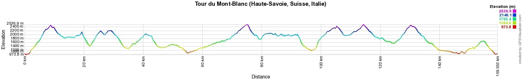
 Distance: 159km, Maximum elevation: 2524m, Minimum elevation: 980m, Total ascent: 11137m
IGN Maps: Samoens Haut-Giffre - 3530ET. Saint-Gervais-Les-Bains Massif du Mont-Blanc - 3531ET. Megeve Col des Aravis - 3531OT. Chamonix Massif du Mont-Blanc - 3630OT
Nearby paths:
![]() It is advisable to follow the beacons all along your hike and to bring the FFRandonnée topo-guide. You will also find information on MonGR.fr.
It is advisable to follow the beacons all along your hike and to bring the FFRandonnée topo-guide. You will also find information on MonGR.fr.
GR®, PR®, GRP® and the corresponding markings are trademarks of the French Federation of Hiking. They may not be reproduced without permission. The French Federation of Hiking, state-approved, includes organizations that maintain hiking routes. It publishes guides for these routes. With your donations, support the actions of the thousands of volunteer markers of the FFRandonnée.
GR-Infos.com is an editorial partner of MonGR.fr.
| Return |

Former holiday hotel with a garden along the Allier, L'Etoile Guest House is located in La Bastide-Puylaurent between Lozere, Ardeche, and the Cevennes in the mountains of Southern France. At the crossroads of GR®7, GR®70 Stevenson Path, GR®72, GR®700 Regordane Way, GR®470 Allier River springs and gorges, GRP® Cevenol, Ardechoise Mountains, Margeride. Numerous loop trails for hiking and one-day biking excursions. Ideal for a relaxing and hiking getaway.
Copyright©gr-infos.com (Authorization for private use only)
To help us maintain and improve GR-Infos.com, a contribution of 2€ is desired via Wero or bank transfer. Thank you!