
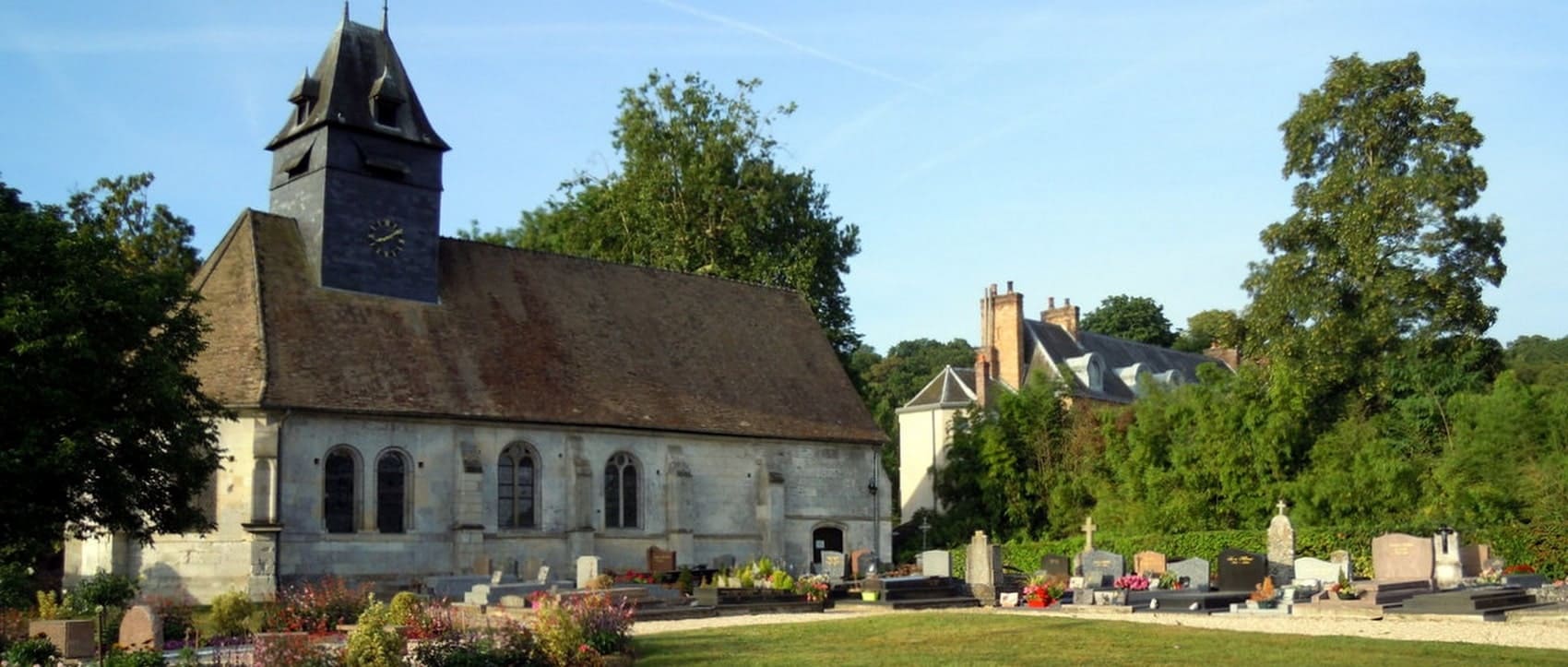
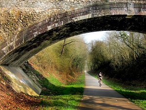
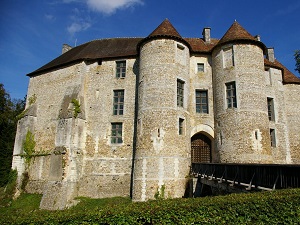
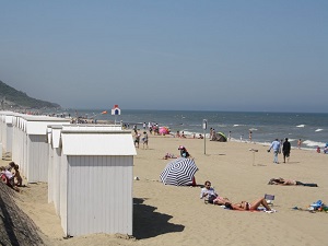
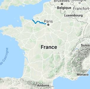
The GR®26 trail, from Poissy to Villers-sur-Mer, offers a picturesque hike through the Yvelines, Eure, and Calvados departments. Leaving the Paris region, the path crosses the varied landscapes of the Vexin Français and the Eure valley, with its rolling hills, green meadows, and historical Norman villages. The flora is composed of dense forests of oaks and beeches, while the fauna includes forest mammals and numerous birds of prey. The route passes through charming towns and ends on the Normandy coast at Villers-sur-Mer, offering a striking contrast between the peaceful inland countryside and the invigorating shores of the English Channel.
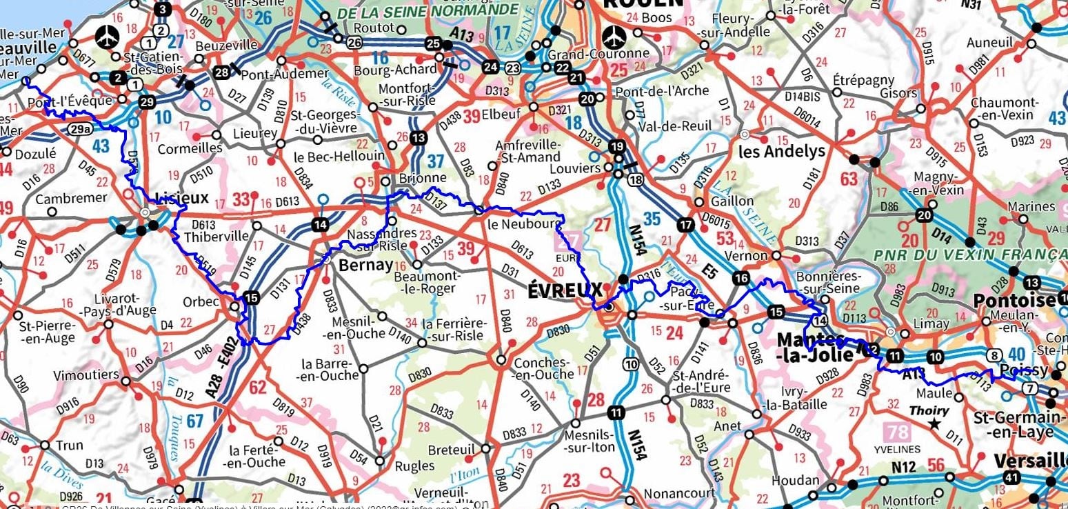
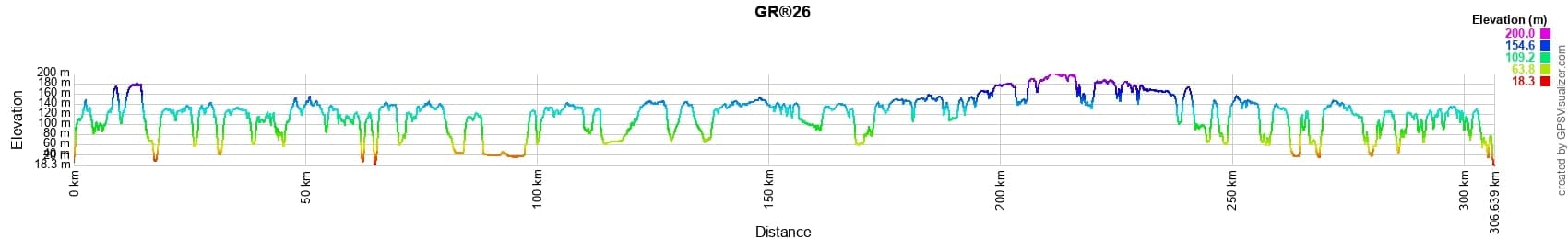
 Distance: 304km, Elevation maximum: 202m, Elevation minimum: 2m, Elevation gain uphill: 3951m
IGN Maps: St-Germain-en-Laye Poissy (2214ET). Mantes-la-Jolie (2114O). Pacy-sur-Eure (2013E). Louviers (2013O). Le Neubourg (1913E). Brionne (1913O). Lieurey (1813E). Bernay (1813O). Pont-Audemer (1812E). Cormeilles (1712E). Pont-l'Eveque (1712O). Deauville Trouville Honfleur (1612OT).
Nearby paths:
![]() It is advisable to follow the beacons all along your hike and to bring the FFRandonnee topo-guide. You will also find information on MonGR.fr.
It is advisable to follow the beacons all along your hike and to bring the FFRandonnee topo-guide. You will also find information on MonGR.fr.
GR®, PR®, GRP®, and the corresponding signs of markings (white/red, yellow and yellow/red) are trademarks of the French Federation of Hiking. They may not be reproduced without permission. The French Federation of Hiking, state-approved, includes organizations that create and maintain hiking routes on GR®, PR® and GRP®. It publishes guides for these topo hiking routes. With your donations, support the actions of the thousands of volunteer markers of the FFRandonnee.
GR-Infos.com is an editorial partner of MonGR.fr.
| Return |

Former holiday hotel with a garden along the Allier, L'Etoile Guest House is located in La Bastide-Puylaurent between Lozere, Ardeche, and the Cevennes in the mountains of Southern France. At the crossroads of GR®7, GR®70 Stevenson Path, GR®72, GR®700 Regordane Way, GR®470 Allier River springs and gorges, GRP® Cevenol, Ardechoise Mountains, Margeride. Numerous loop trails for hiking and one-day biking excursions. Ideal for a relaxing and hiking getaway.
Copyright©gr-infos.com (Authorization for private use only)
To help us maintain and improve GR-Infos.com, a contribution of 2€ is desired via Wero or bank transfer. Thank you!