
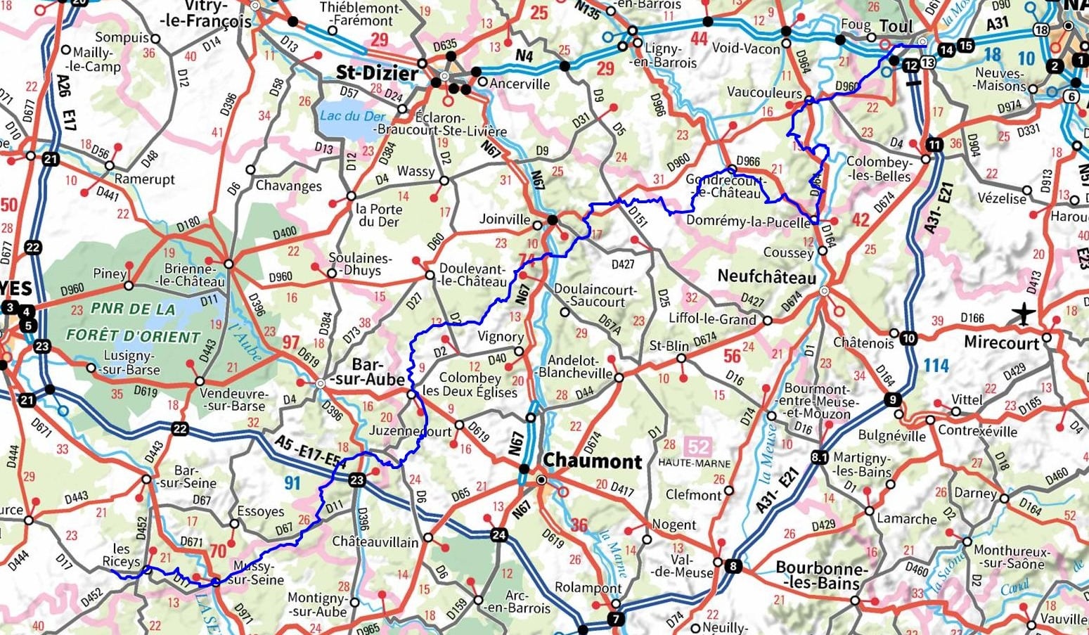
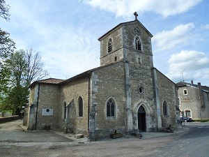
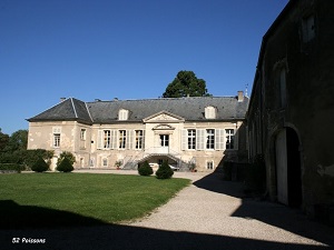
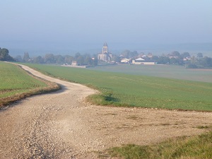
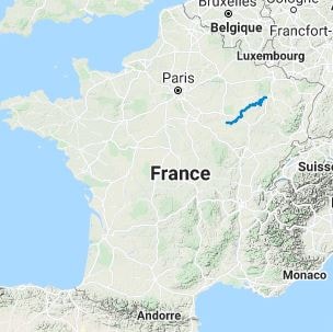
The GR703 trail follows in the footsteps of Joan of Arc. Starting in Toul, an episcopal city with imposing ramparts and a flamboyant Gothic cathedral, the route winds its way through the rolling landscapes of Lorraine. In Domrémy-la-Pucelle, you will discover her birthplace and the Bois-Chenu Basilica overlooking the Meuse Valley. The path then meanders through limestone plateaus and dense forests. Upon entering the Haute-Marne department, the route becomes more hilly and stops in Colombey-les-Deux-Églises, linking Joan of Arc's epic story to contemporary French history. The heritage unfolds through charming villages and half-timbered churches typical of the wet Champagne region. Approaching Mussy-sur-Seine, the former residence of the bishops of Langres, the landscape is adorned with renowned vineyards.

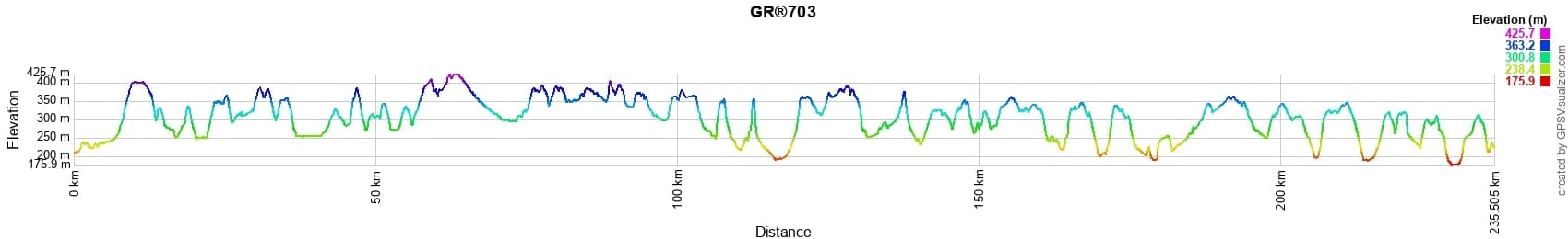


 Distance: 235km, Elevation maximum: 426m, Elevation minimum: 172m, Elevation gain uphill: 3572m
IGN Maps: Poissons - 3116E. Doulaincourt Saucourt - 3117O. Domremy-La-Pucelle - 3216E. Gondrecourt-Le-Chateau - 3216O. Nancy Toul Forêt de Haye - 3315ET. Toul - 3315O. Chaource - 2819E. Mussy-Sur-Seine - 2919E. Les Riceys - 2919O. Doulevant-Le-Chateau - 3017E. Colombey-Les-Deux-Eglises - 3018E. Bar-Sur-Aube - 3018O.
Nearby paths:
![]() It is advisable to follow the beacons throughout your itinerary and to take the Fédération Française de la Randonnée Pédestre topo-guide with you. You will also find information on MonGR.fr.
It is advisable to follow the beacons throughout your itinerary and to take the Fédération Française de la Randonnée Pédestre topo-guide with you. You will also find information on MonGR.fr.
GR®, PR®, GRP®, and the corresponding markings are trademarks of the French Federation of Hiking. They may not be reproduced without permission. The Federation creates and maintains routes on GR®, PR®, and GRP® and publishes topo-guides. Your donations support the volunteer markers.
GR-Infos.com is an editorial partner of MonGR.fr.
| Return |

Former holiday hotel with a garden along the Allier, L'Etoile Guest House is located in La Bastide-Puylaurent between Lozere, Ardeche, and the Cevennes in the mountains of Southern France. At the crossroads of GR®7, GR®70 Stevenson Path, GR®72, GR®700 Regordane Way, GR®470 Allier River springs and gorges, GRP® Cevenol, Ardechoise Mountains, Margeride. Numerous loop trails for hiking and one-day biking excursions. Ideal for a relaxing and hiking getaway.
Copyright©gr-infos.com (Authorization for private use only)
To help us maintain and improve GR-Infos.com, a contribution of 2€ is desired via Wero or bank transfer. Thank you!