
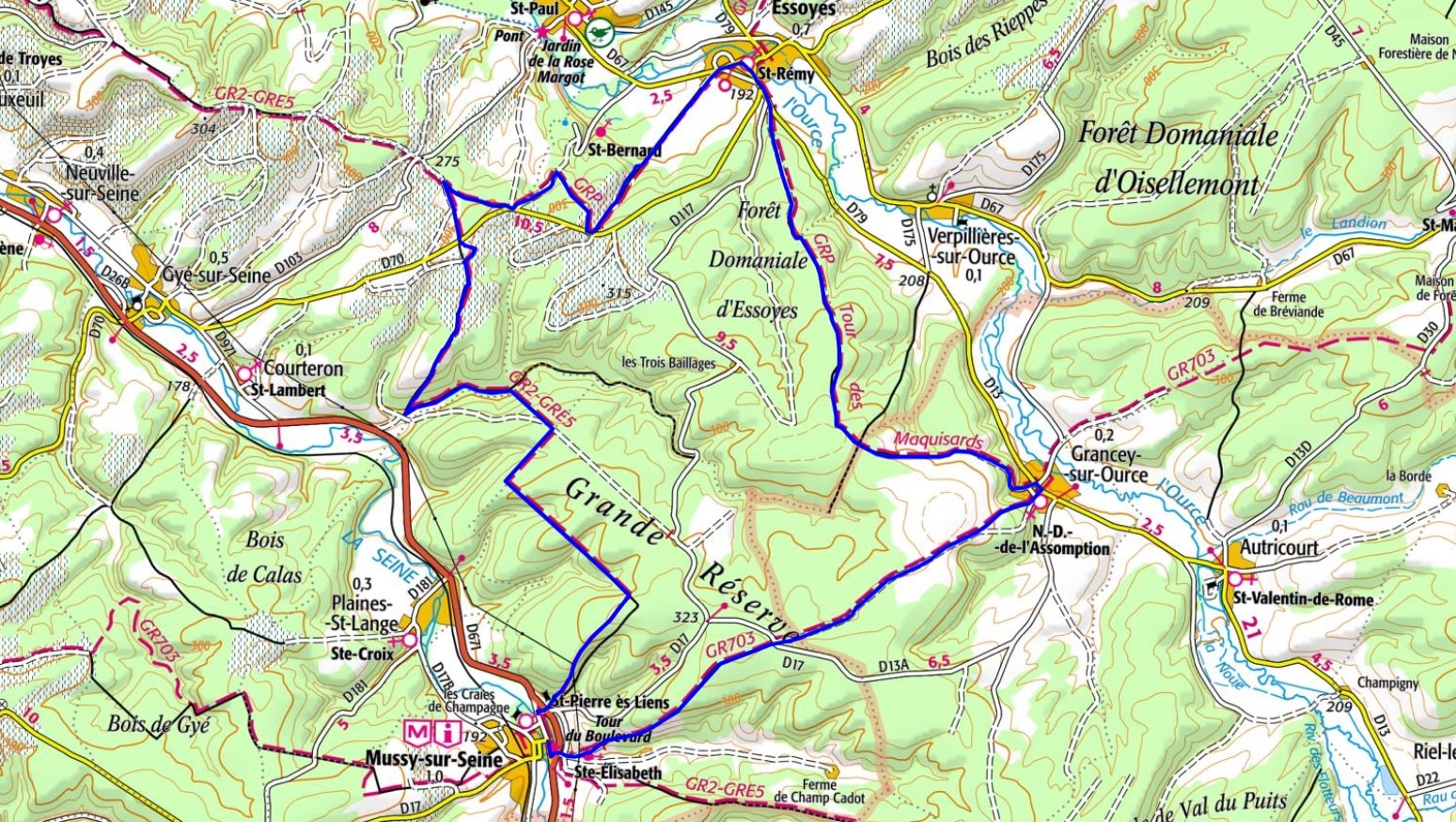
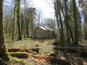
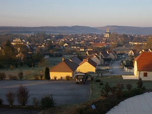
Starting in Mussy-sur-Seine, a charming town nestled in the Seine Valley, the Maquisards Trail offers a moving immersion into the history of the Aube Resistance. This memorial trail crosses the vast forests of the Côte des Bar, where the largest maquis in the department was established in 1944, sheltering over a thousand men. Local heritage unfolds in Essoyes, a village dear to Renoir, whose narrow streets and vineyard landscapes bear witness to the Champagne way of life. Continuing towards Grancey-sur-Ource, hikers discover a region where limestone and vineyards shape the architectural identity of the small stone villages. Between memorials and isolated farms, each stop recalls the courage of the resistance fighters in the heart of unspoiled nature.
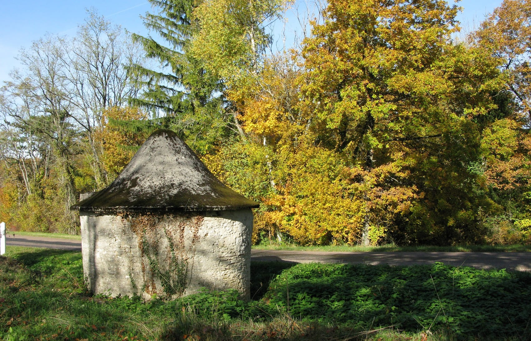
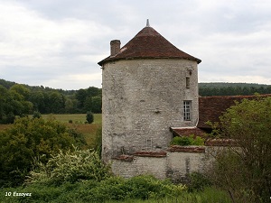
The Côte des Bar, located in the southern Aube region, is a distinctive area where the history of Champagne is inextricably linked to that of the steep hillside landscapes. The birthplace of Renoir's family in Essoyes, this wine-growing region is distinguished by its significant Cistercian heritage, under the shadow of the powerful Clairvaux Abbey founded by Saint Bernard. Limestone villages, such as Bar-sur-Seine and Bar-sur-Aube, boast half-timbered churches and medieval cellars, testaments to a past prosperity linked to the Champagne fair trade. Local architecture is characterized by "cadoles," dry-stone huts built by winegrowers of yesteryear amidst the Pinot Noir vineyards.
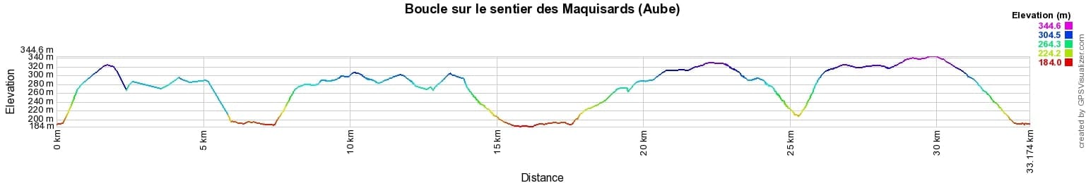
 Distance: 33km, Elevation maximum: 345m, Elevation minimum: 184m, Elevation gain uphill: 626m
IGN Maps: 2918SB - BAR-SUR-SEINE LOCHES-SUR-OURCE. 2919SB - LES RICEYS MUSSY-SUR-SEINE.

Nearby paths:
![]() It is advisable to follow the beacons all along your hike and to bring the FFRandonnée topo-guide. You will also find information on MonGR.fr.
It is advisable to follow the beacons all along your hike and to bring the FFRandonnée topo-guide. You will also find information on MonGR.fr.
GR®, PR®, GRP® and the corresponding markings are trademarks of the French Federation of Hiking. They may not be reproduced without permission. The French Federation of Hiking, state-approved, includes organizations that maintain hiking routes. It publishes guides for these routes. With your donations, support the actions of the thousands of volunteer markers of the FFRandonnée.
GR-Infos.com is an editorial partner of MonGR.fr.
| Return |

Former holiday hotel with a garden along the Allier, L'Etoile Guest House is located in La Bastide-Puylaurent between Lozere, Ardeche, and the Cevennes in the mountains of Southern France. At the crossroads of GR®7, GR®70 Stevenson Path, GR®72, GR®700 Regordane Way, GR®470 Allier River springs and gorges, GRP® Cevenol, Ardechoise Mountains, Margeride. Numerous loop trails for hiking and one-day biking excursions. Ideal for a relaxing and hiking getaway.
Copyright©gr-infos.com (Authorization for private use only)
To help us maintain and improve GR-Infos.com, a contribution of 2€ is desired via Wero or bank transfer. Thank you!