
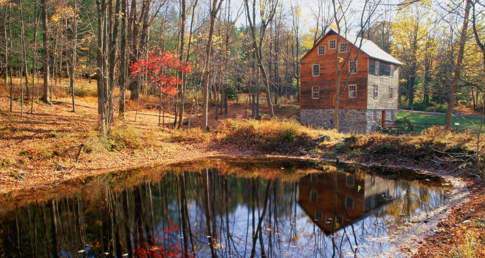
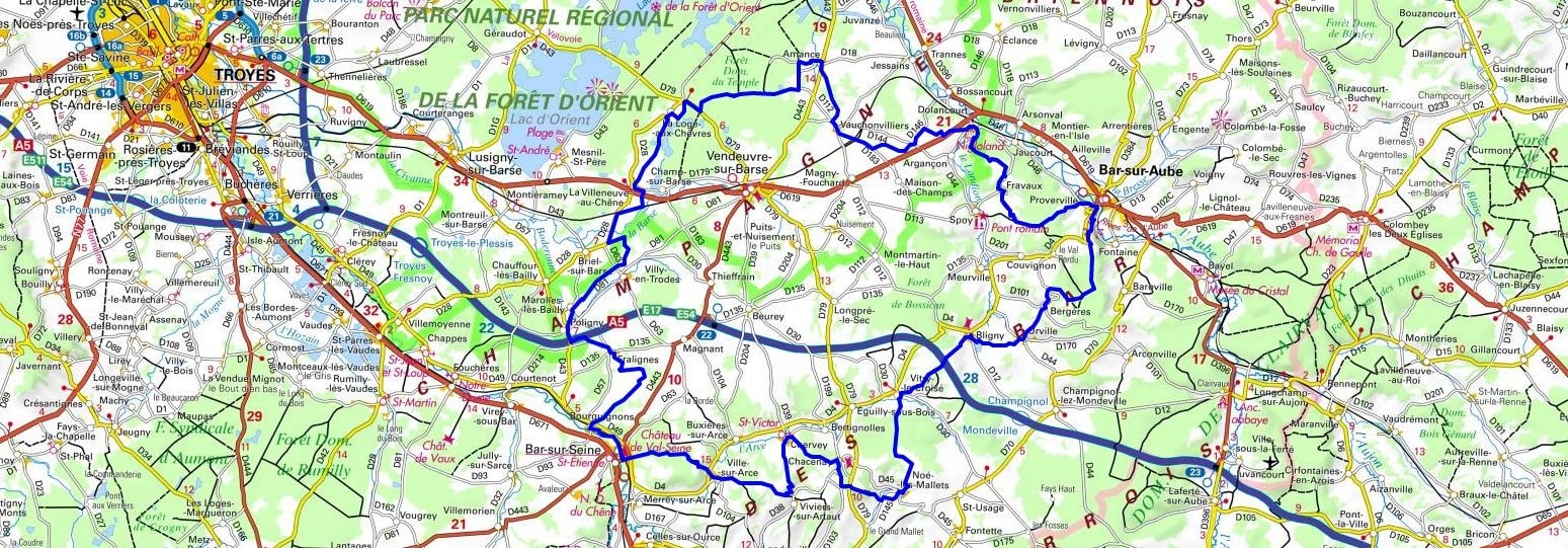
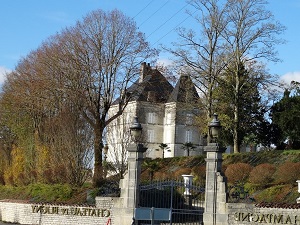
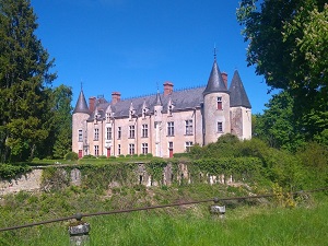
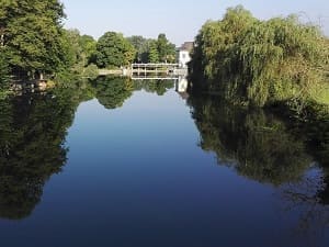
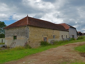
Starting in Bar-sur-Aube, a medieval town marked by the influence of the Counts of Champagne, hikers are immersed in the renowned vineyards of Urville and Bligny, where winemaking heritage shapes the landscape. The trail meanders between chalk hillsides and verdant valleys, passing through charming villages like Chacenay, famous for its fortified castle overlooking the Arce River. Upon reaching Bar-sur-Seine, one discovers a rich industrial past and half-timbered houses typical of the Aube region. The route then turns north, entering the serene Forêt d'Orient after passing through Fralignes and Villy-en-Trodes. The passage through La Loge-aux-Chèvres and Amance reveals authentic rural life before reaching the Aube Valley near Dolancourt. This journey ends in Proverville, completing a circuit where the elegance of champagne bubbles meets the ruggedness of the forest and the depth of local history.
The term "Deux Bar" in Aube (Champagne-Ardenne) refers to the region encompassing the two main towns in the southeast of the department: Bar-sur-Aube and Bar-sur-Seine. This area, often called the Barséquanais and Bar-sur-Aubois, forms the heart of the Côte des Bar, one of the main Champagne production zones. The landscape is heavily rolling, characterized by hills covered with vineyards interspersed with forests and valleys, notably those of the Seine and Aube rivers. It is a region rich in heritage, featuring numerous wine-producing villages, Romanesque churches, and charming towns. The GR® de Pays des Deux Bar is a long-distance hiking trail that connects these two towns, allowing exploration of the wine and forest landscapes. Sporting events, such as the "BARBAR," a walking crossing, highlight the significance of this geographical and historical connection.
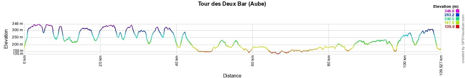
 Distance: 109km, Elevation maximum: 346m, Elevation minimum: 135m, Elevation gain uphill: 1685m
IGN Maps: 3018SB - BAR-SUR-AUBE COLOMBEY-LES-DEUX-ÉGLISES. 2917SB - BRIENNE-LE-CHÂTEAU PINEY LACS DE LA FORÊT D'ORIENT. 2918SB - BAR-SUR-SEINE LOCHES-SUR-OURCE. 3017SB - DOULEVANT-LE-CHÂTEAU SOULAINES-DHUYS.

Nearby paths:
![]() It is advisable to follow the trail markers all along your hike and to bring the FFRandonnée topo-guide. You will also find information on MonGR.fr.
It is advisable to follow the trail markers all along your hike and to bring the FFRandonnée topo-guide. You will also find information on MonGR.fr.
GR®, PR®, GRP® and the corresponding markings are trademarks of the French Federation of Hiking. They may not be reproduced without permission. The French Federation of Hiking, state-approved, includes organizations that maintain hiking routes. It publishes guides for these routes. With your donations, support the actions of the thousands of volunteer markers of the FFRandonnée.
GR-Infos.com is an editorial partner of MonGR.fr.
| Return |

Former holiday hotel with a garden along the Allier, L'Etoile Guest House is located in La Bastide-Puylaurent between Lozere, Ardeche, and the Cevennes in the mountains of Southern France. At the crossroads of GR®7, GR®70 Stevenson Path, GR®72, GR®700 Regordane Way, GR®470 Allier River springs and gorges, GRP® Cevenol, Ardechoise Mountains, Margeride. Numerous loop trails for hiking and one-day biking excursions. Ideal for a relaxing and hiking getaway.
Copyright©gr-infos.com (Authorization for private use only)
To help us maintain and improve GR-Infos.com, a contribution of 2€ is desired via Wero or bank transfer. Thank you!