
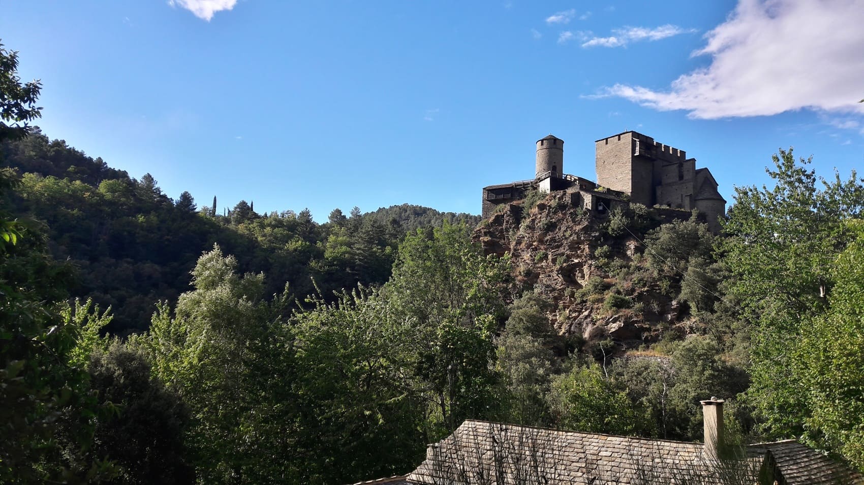
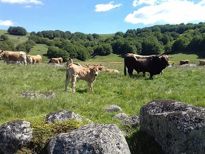
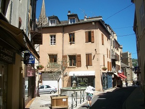
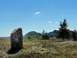
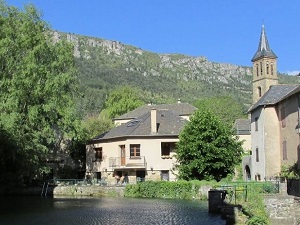
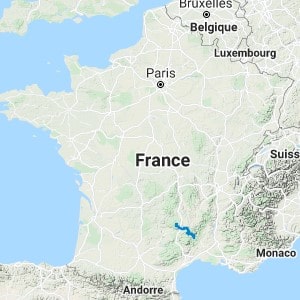
The GR670, also known as the Urbain V Trail, connects the Cantal region to the Cévennes mountains, following in the footsteps of Guillaume de Grimoard. The trail crosses the vast wilderness of the Aubrac plateau, a granite expanse with endless horizons where the wind sweeps across pastures dotted with centuries-old burons (traditional shepherd's huts). The high-altitude meadows give way to the steep-sided valleys of the Lot River and the rugged landscapes of the Gévaudan region. The built heritage is exceptional, ranging from sturdy Romanesque churches to schist villages that seem to rise directly from the rock itself. Biodiversity flourishes in the heart of the Cévennes National Park, where beech and chestnut forests shelter protected fauna, from majestic red deer to large birds of prey.
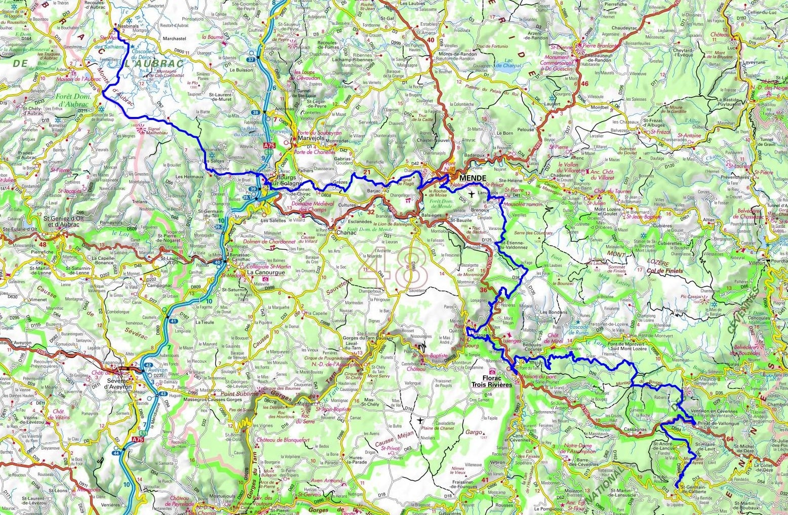
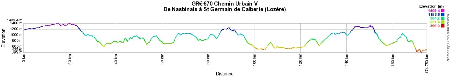
 Distance: 267km, Elevation maximum: 1409m, Elevation minimum: 402m, Elevation gain uphill: 7389m
|
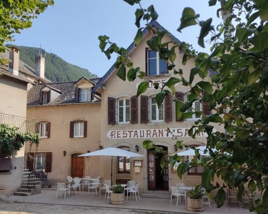
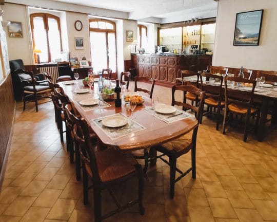
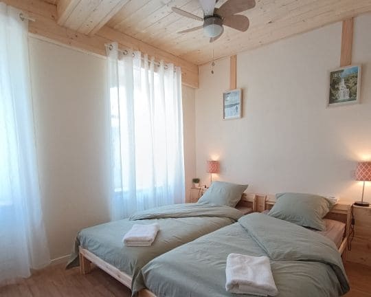
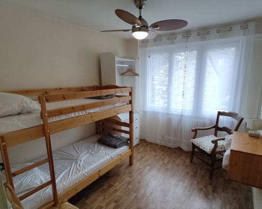
Ispagnac: Maison Saury Stopover Gite, Bed & Breakfast and Guest Table, Laurence & Alain, 06 18 80 97 42, Email. |
|
Nearby paths:
![]() It is advisable to follow the beacons throughout your itinerary and to take the Fédération Française de la Randonnée Pédestre topo-guide with you. You will also find information on MonGR.fr.
It is advisable to follow the beacons throughout your itinerary and to take the Fédération Française de la Randonnée Pédestre topo-guide with you. You will also find information on MonGR.fr.
GR®, PR®, GRP®, and the corresponding markings are trademarks of the French Federation of Hiking. They may not be reproduced without permission. The Federation creates and maintains routes on GR®, PR®, and GRP® and publishes topo-guides. Your donations support the volunteer markers.
GR-Infos.com is an editorial partner of MonGR.fr.
| Return |

Former holiday hotel with a garden along the Allier, L'Etoile Guest House is located in La Bastide-Puylaurent between Lozere, Ardeche, and the Cevennes in the mountains of Southern France. At the crossroads of GR®7, GR®70 Stevenson Path, GR®72, GR®700 Regordane Way, GR®470 Allier River springs and gorges, GRP® Cevenol, Ardechoise Mountains, Margeride. Numerous loop trails for hiking and one-day biking excursions. Ideal for a relaxing and hiking getaway.
Copyright©gr-infos.com (Authorization for private use only)
To help us maintain and improve GR-Infos.com, a contribution of 2€ is desired via Wero or bank transfer. Thank you!